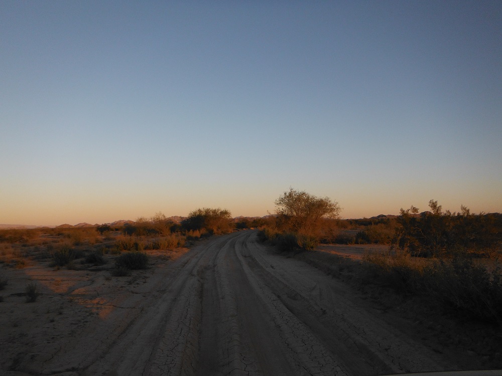
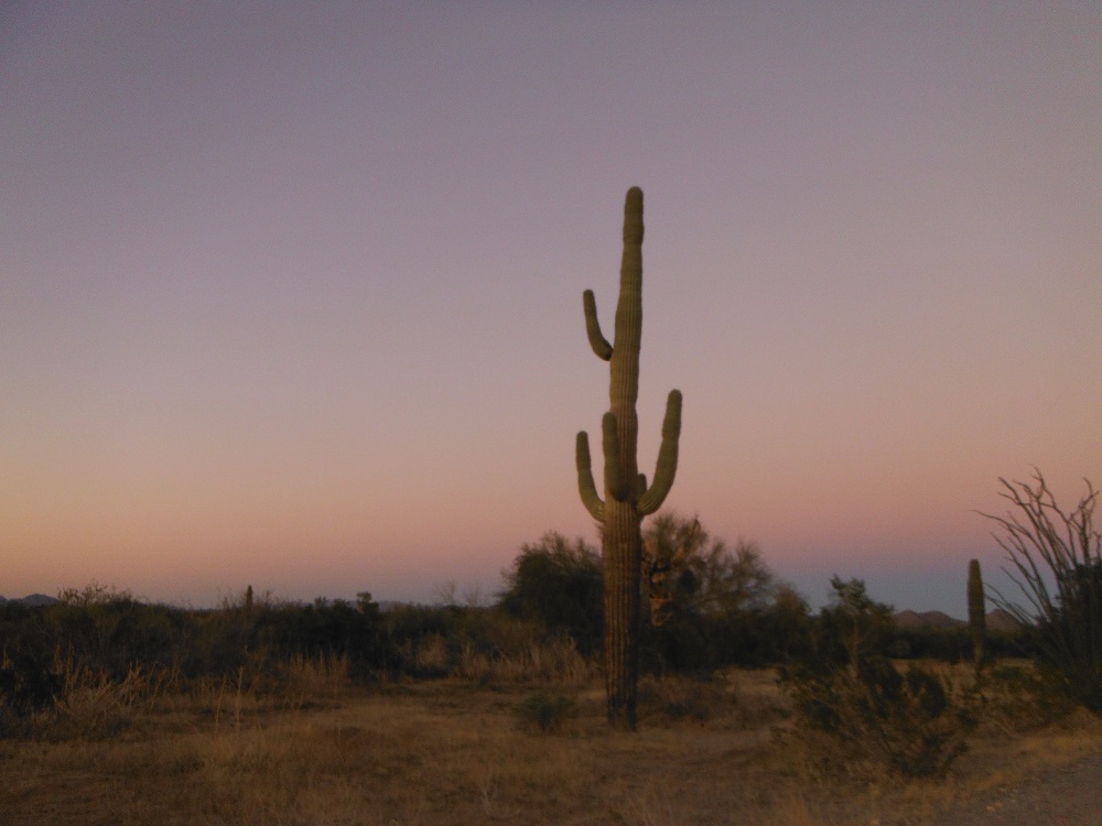
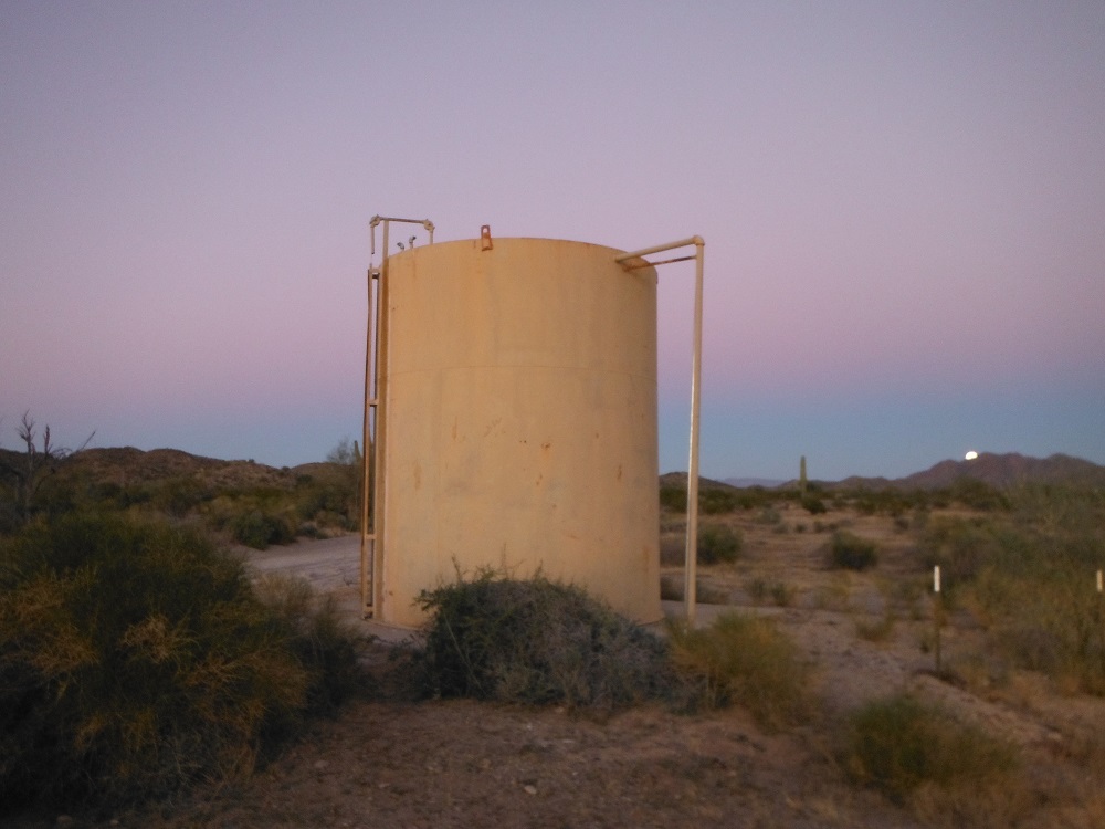
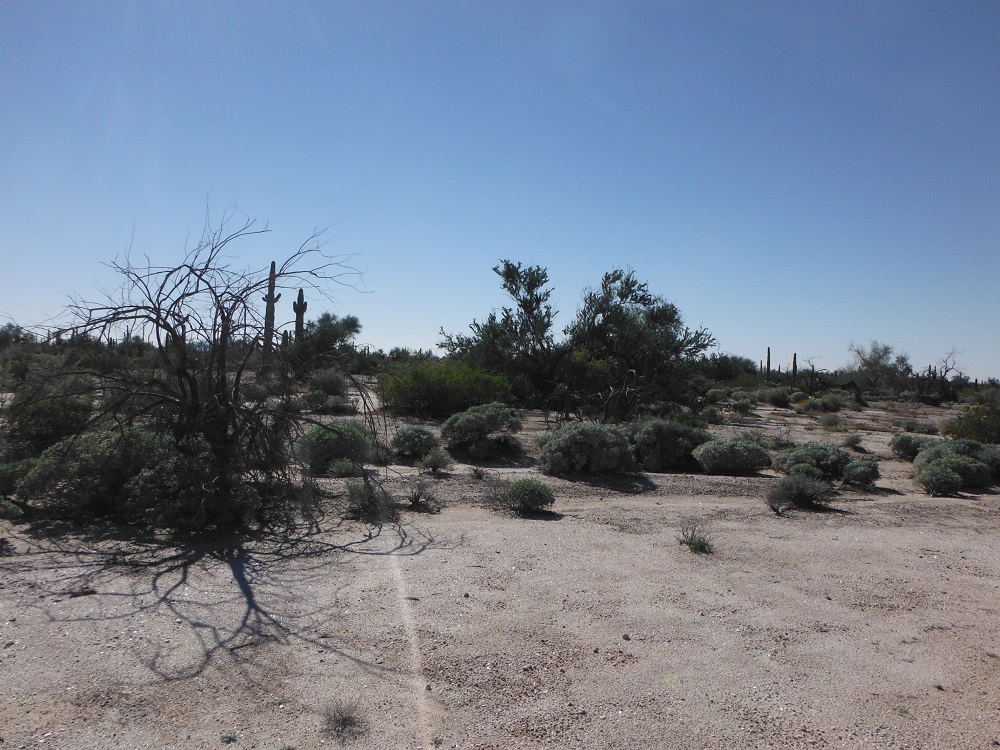
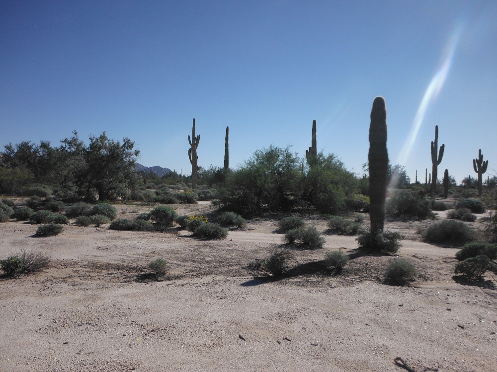
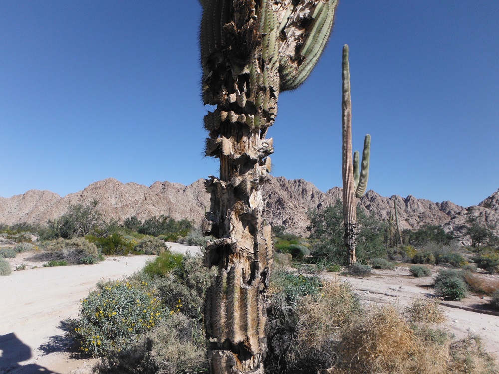
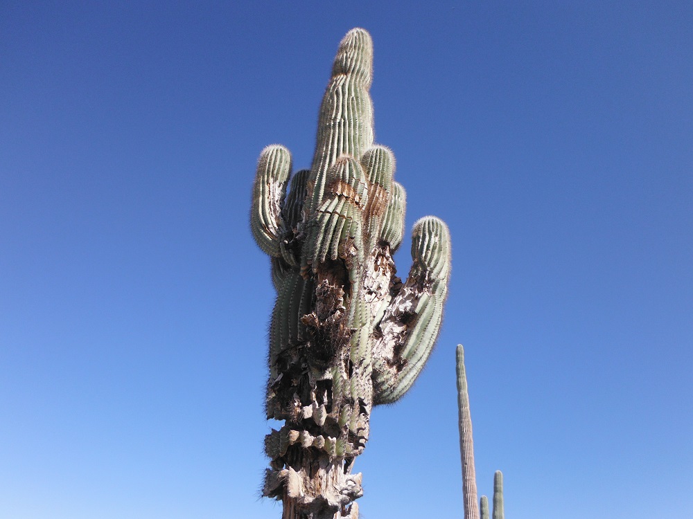
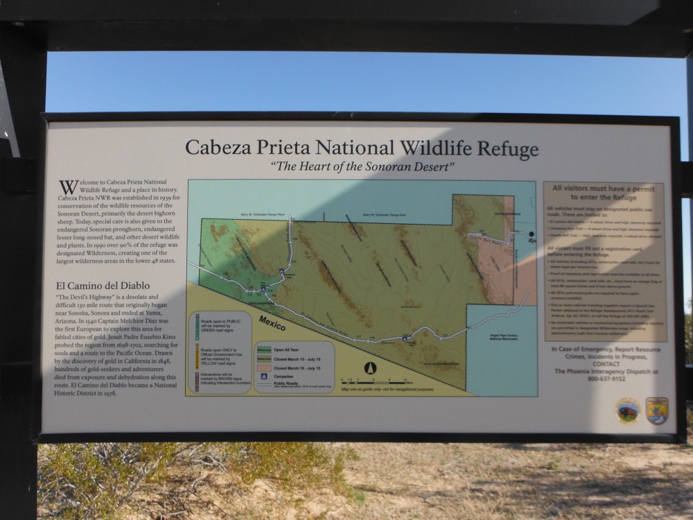
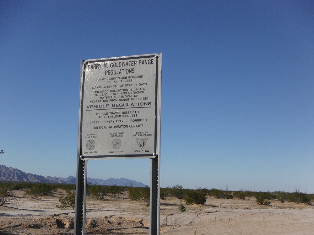
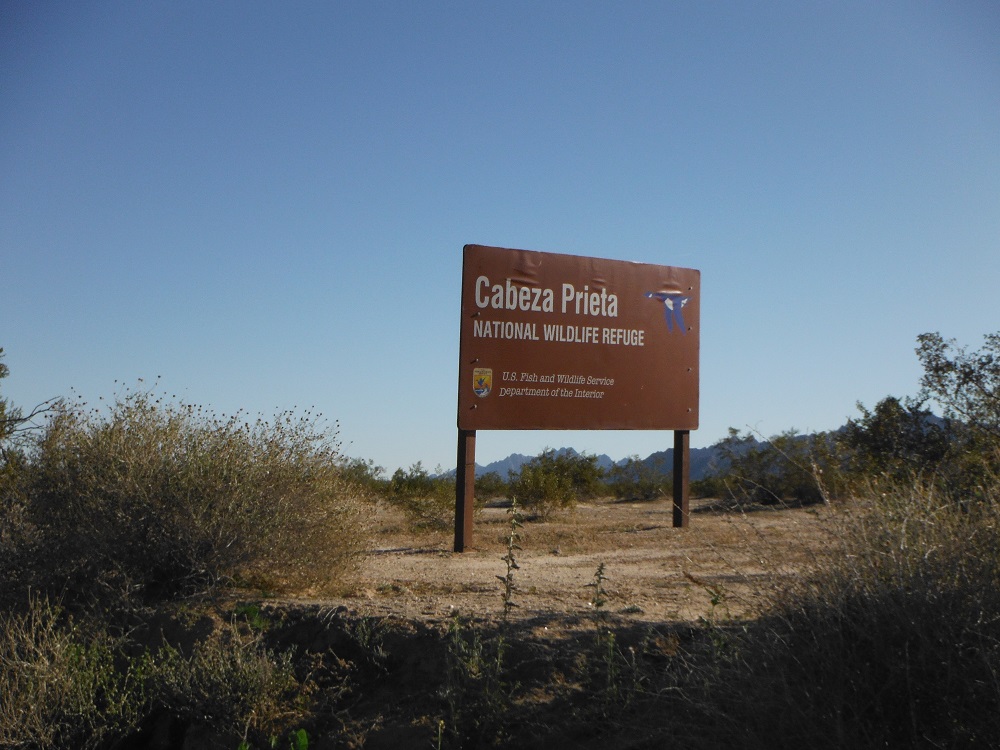
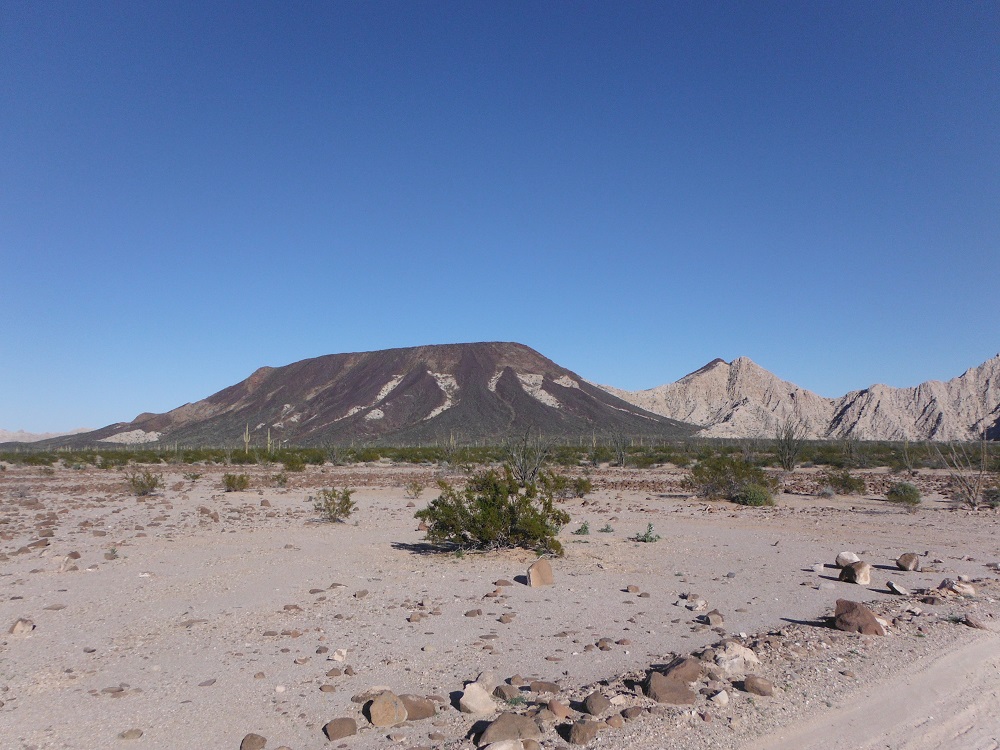
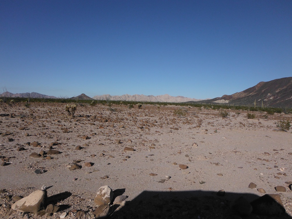
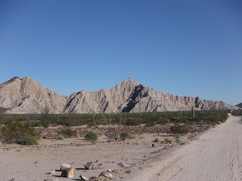
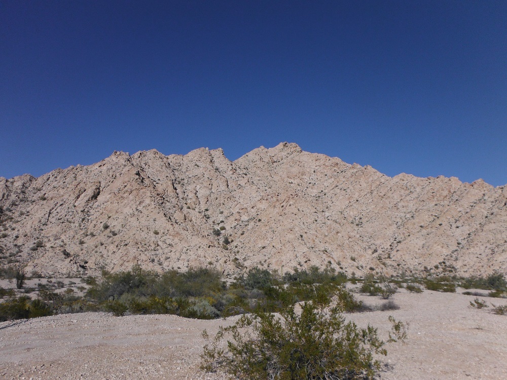
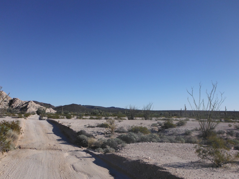
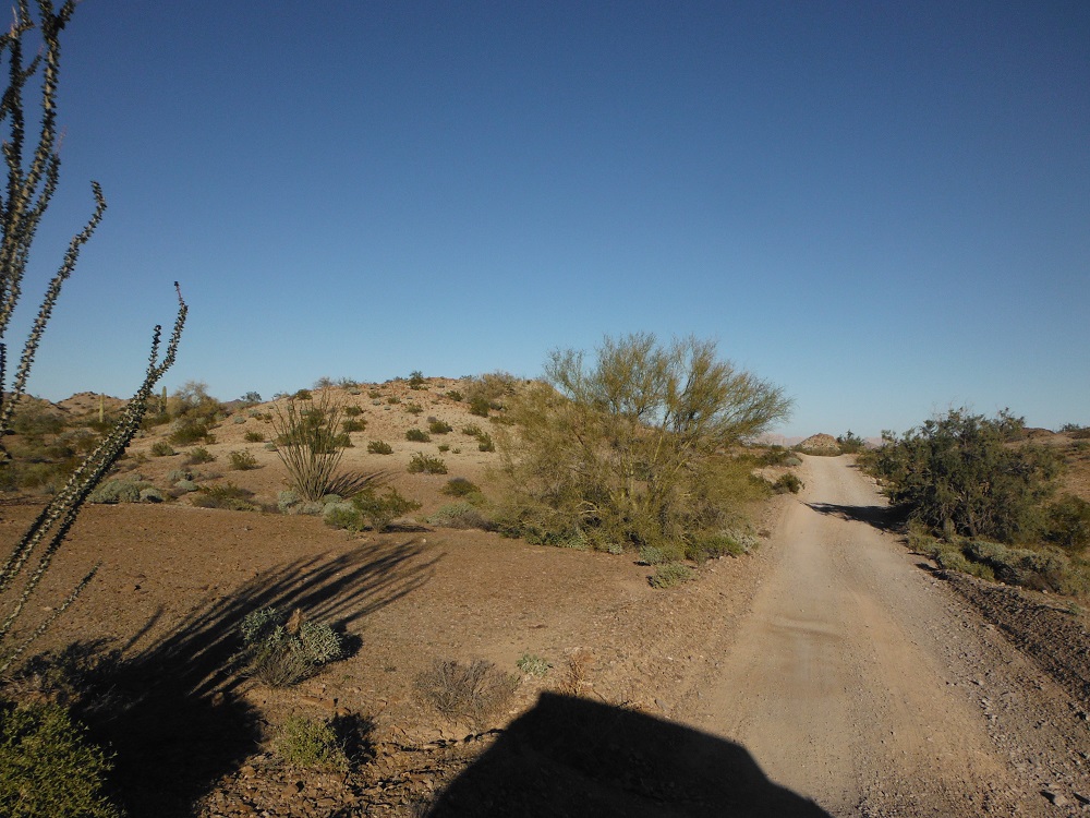
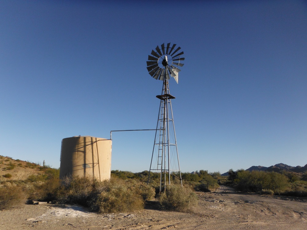
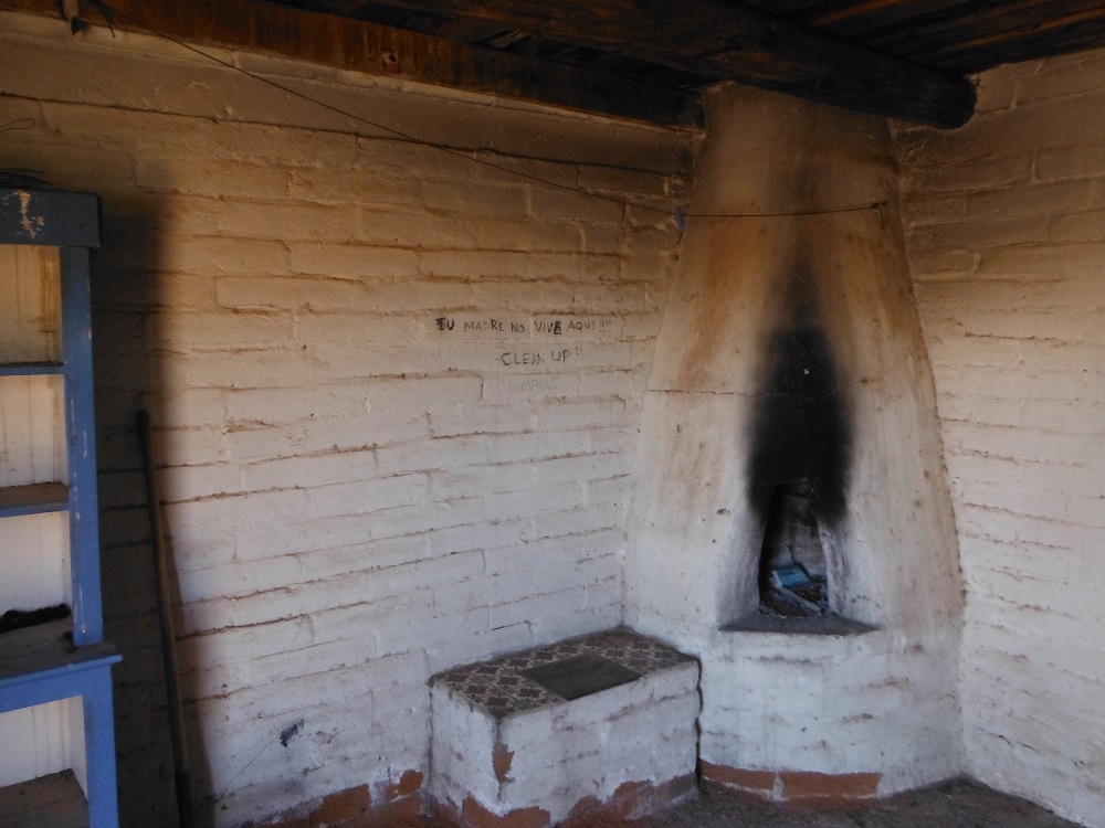
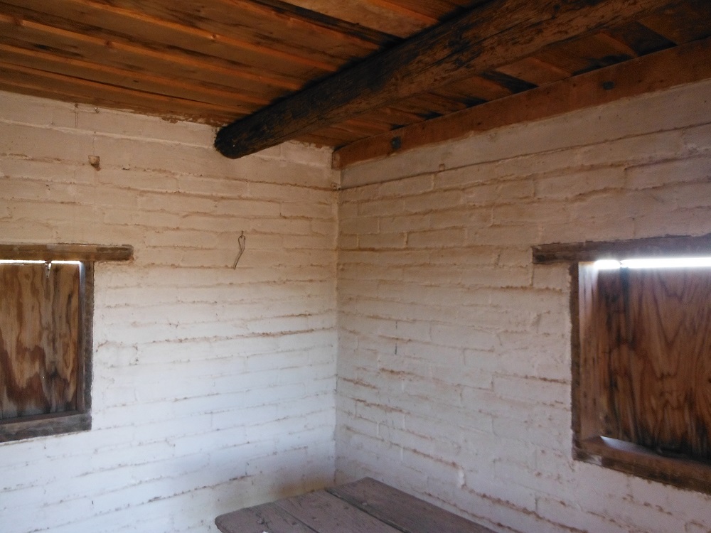
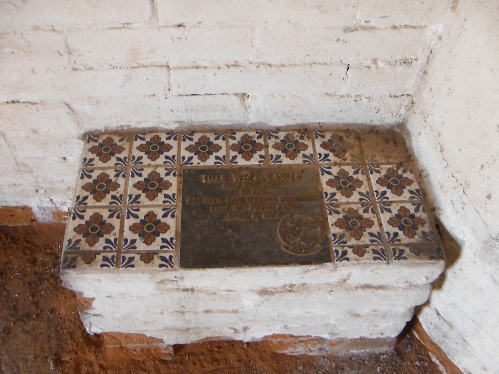
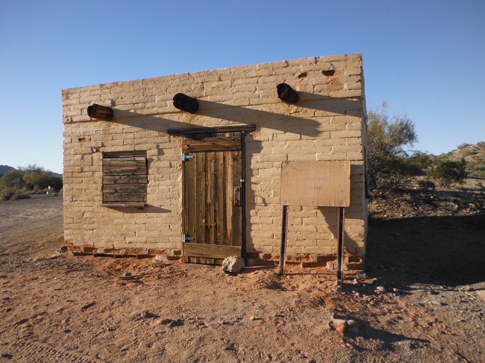
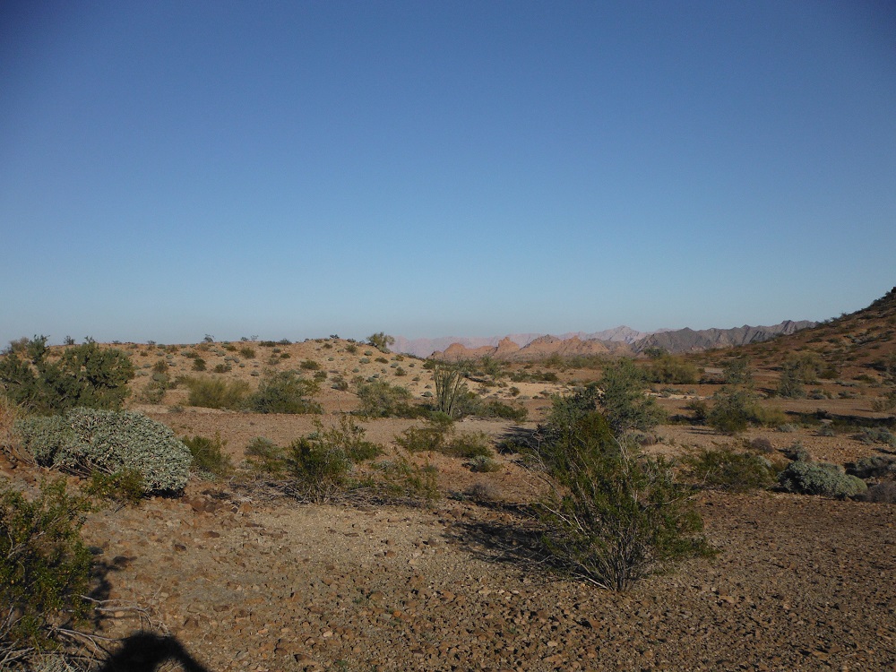
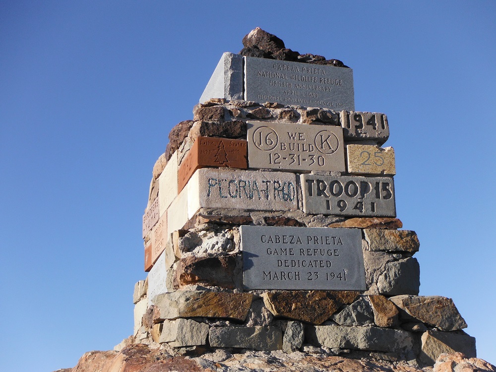
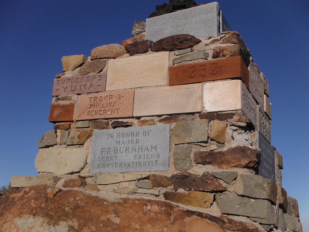
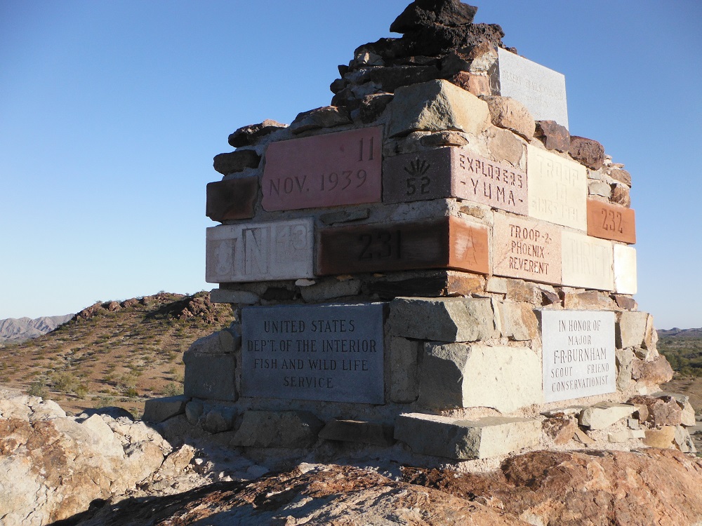
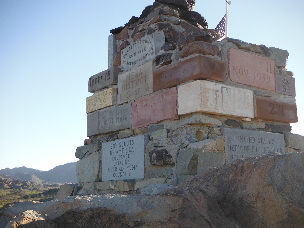
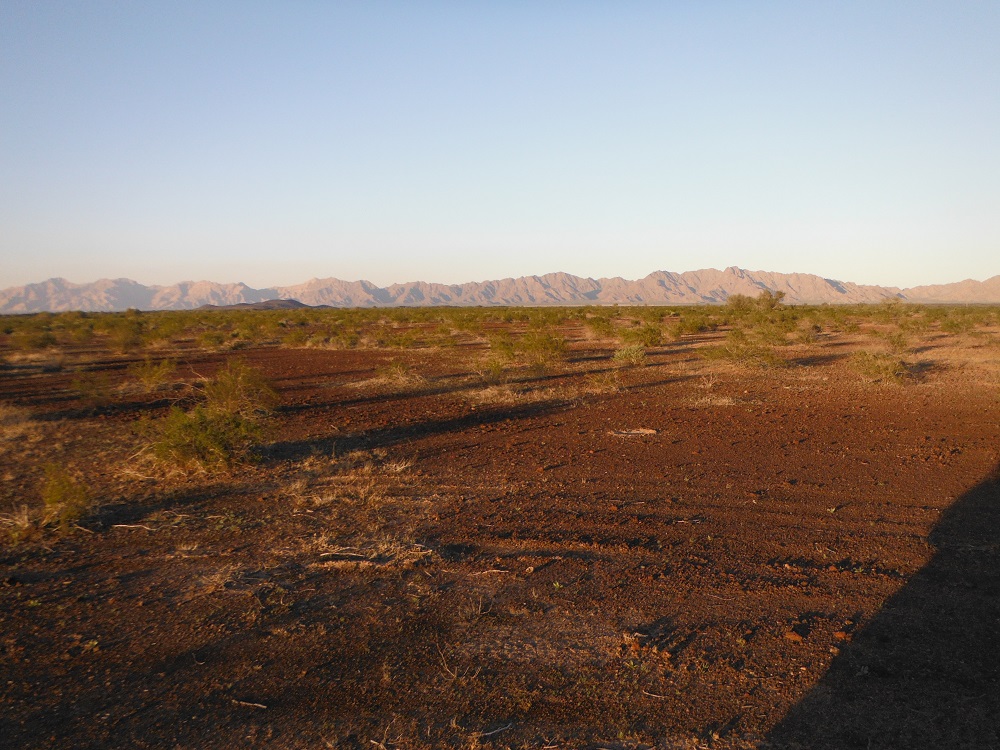
This trail is another trail that you would take more for the scenery rather than the difficulty. While this trail does have some extremely dusty spots and a few rocks it’s a relatively easy trail to pass through. There are lots of old ruins, lots of beautiful cacti, and plenty of interesting geological formations to stand in awe of. Much of this trail is only a few miles north of the Mexican border and also runs along the Barry M. Goldwater Range. Do not enter the live fire range. A permit is required to pass through the trail which can be received at the Marine Corps Air Station, Yuma on the west side or Cabeza Prieta N.W.R. in Ajo on the east side. Look here for more information on the Cabeza Prieta National Wildlife Refuge. I took I-8E, got off at exit 14, took S. Frontage Road east until I turned south on South Ave. 15 East which then turned into a dirt road that wound through the La Fortuna Mine to reach this trail.
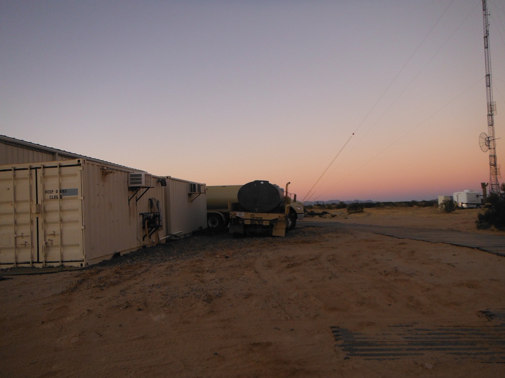
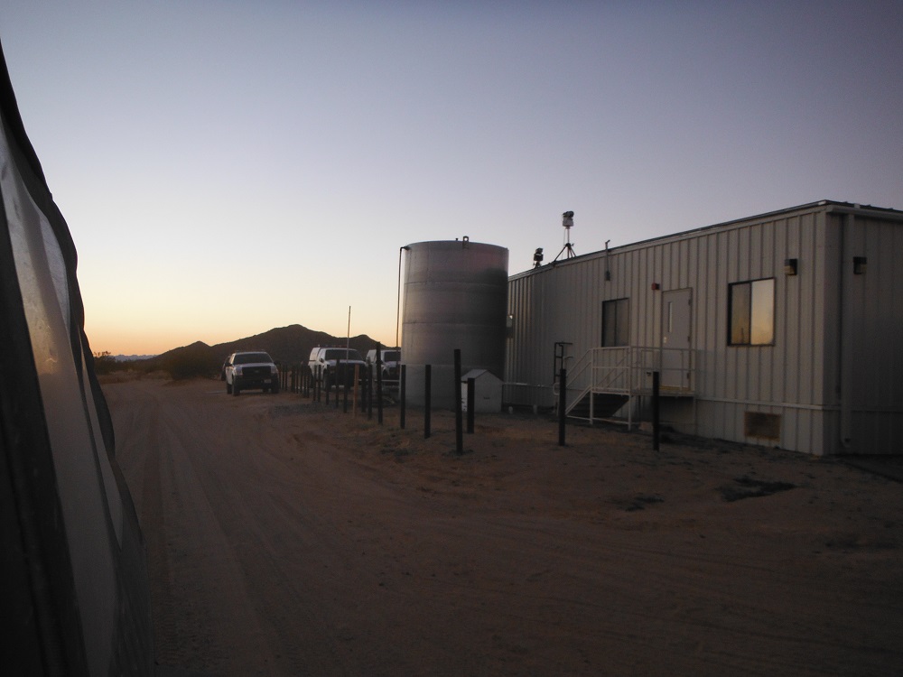
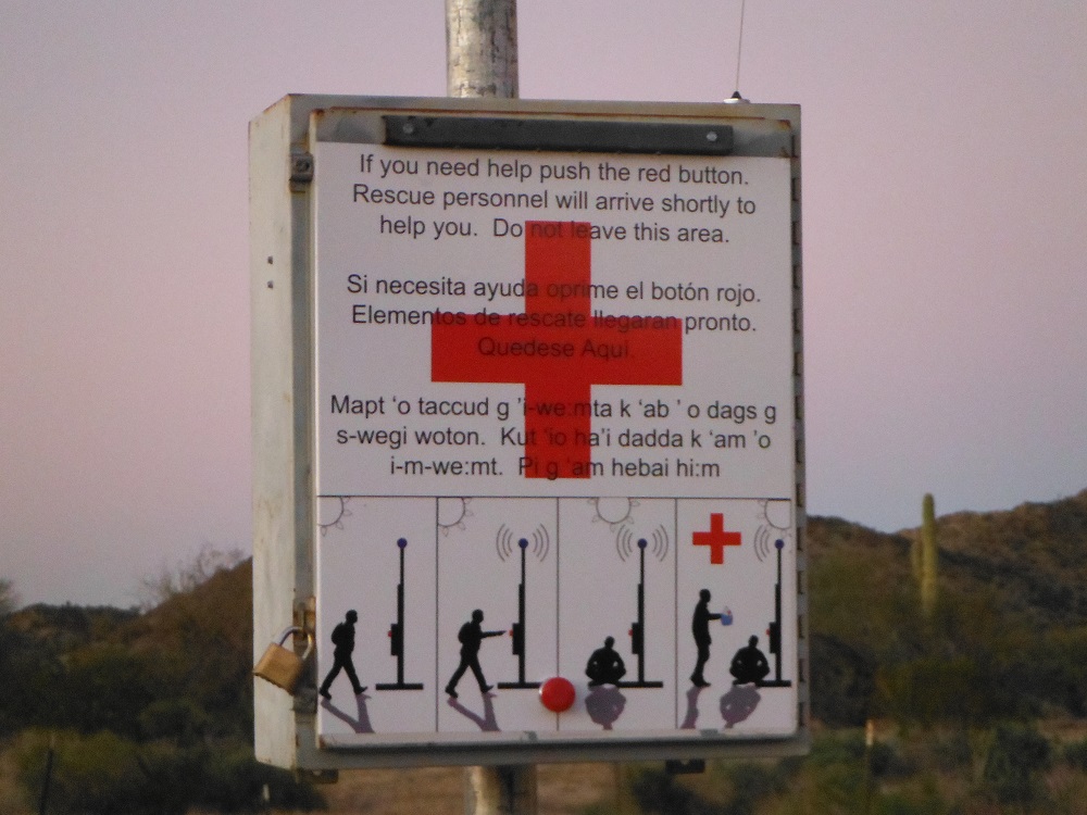
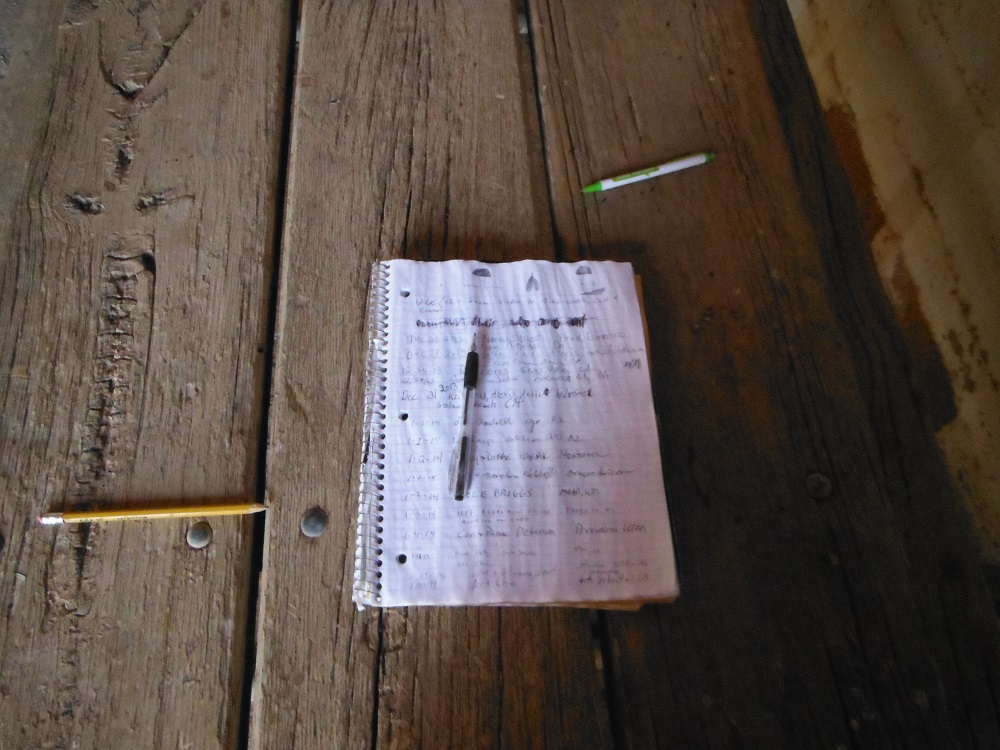
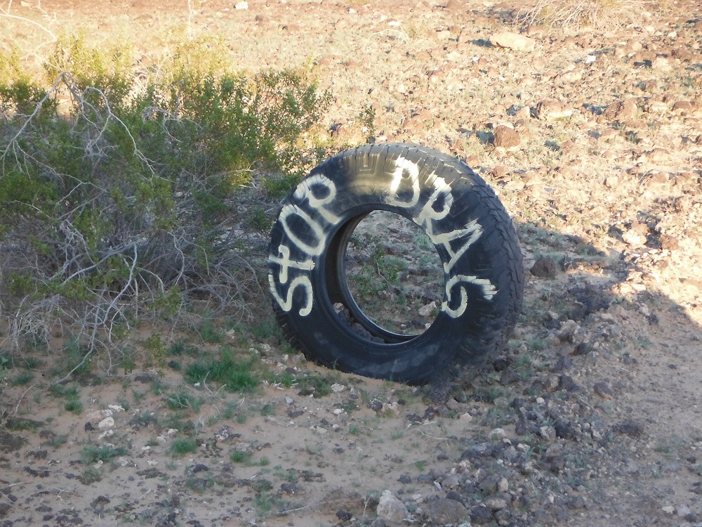
You’ll find a large number of water stations and emergency beacons along the trail, though during my time through I didn’t pass any illegal aliens. This trail is also frequently patrolled and there is a Border Patrol station near the east end. Enjoy the photos and videos!


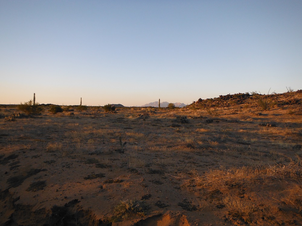
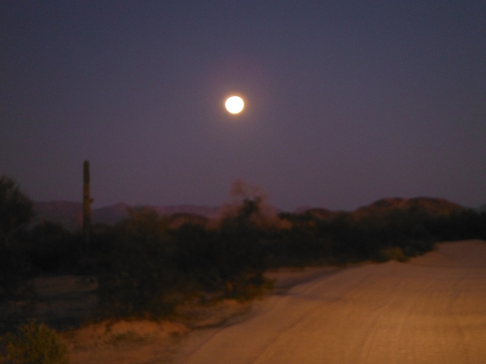
You’ll have to pardon the quality of my night and dusk photos, my camera lens isn’t very big and even with the night setting the exposure time is only a few seconds.