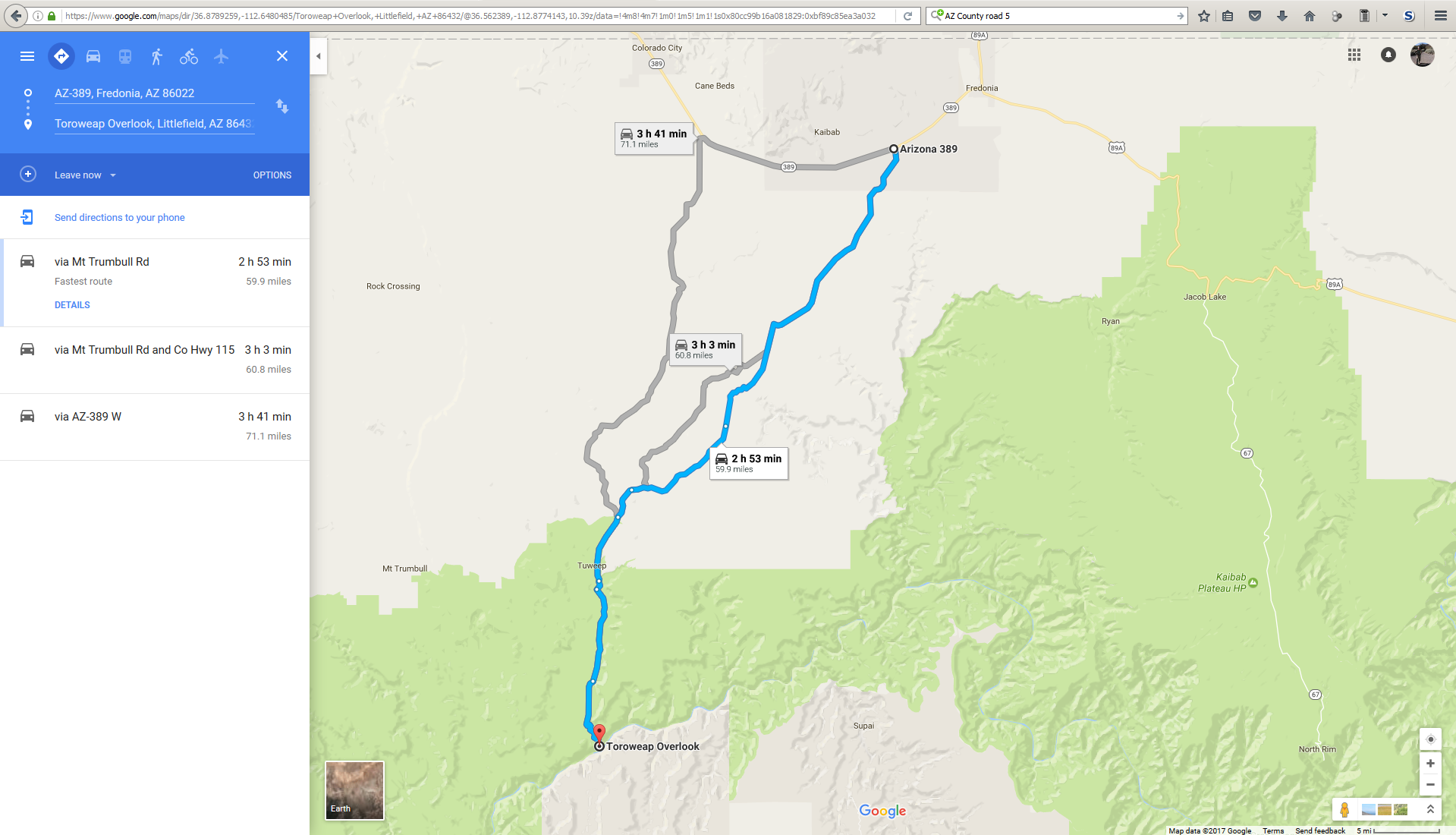
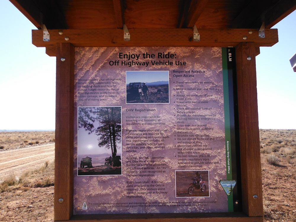
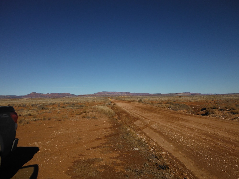
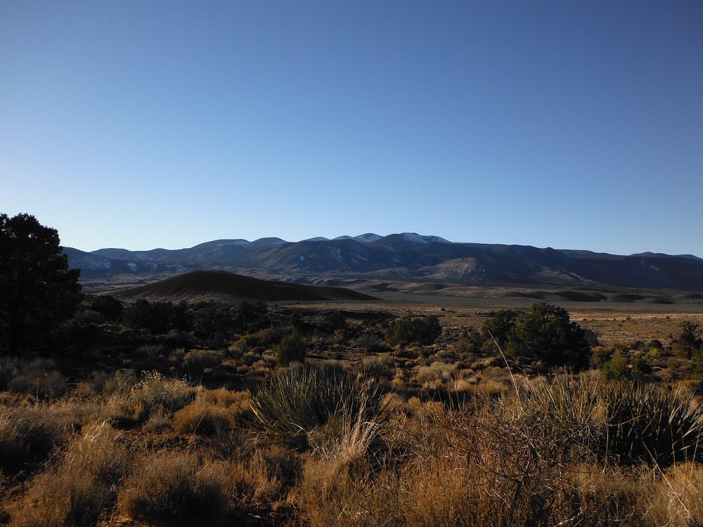
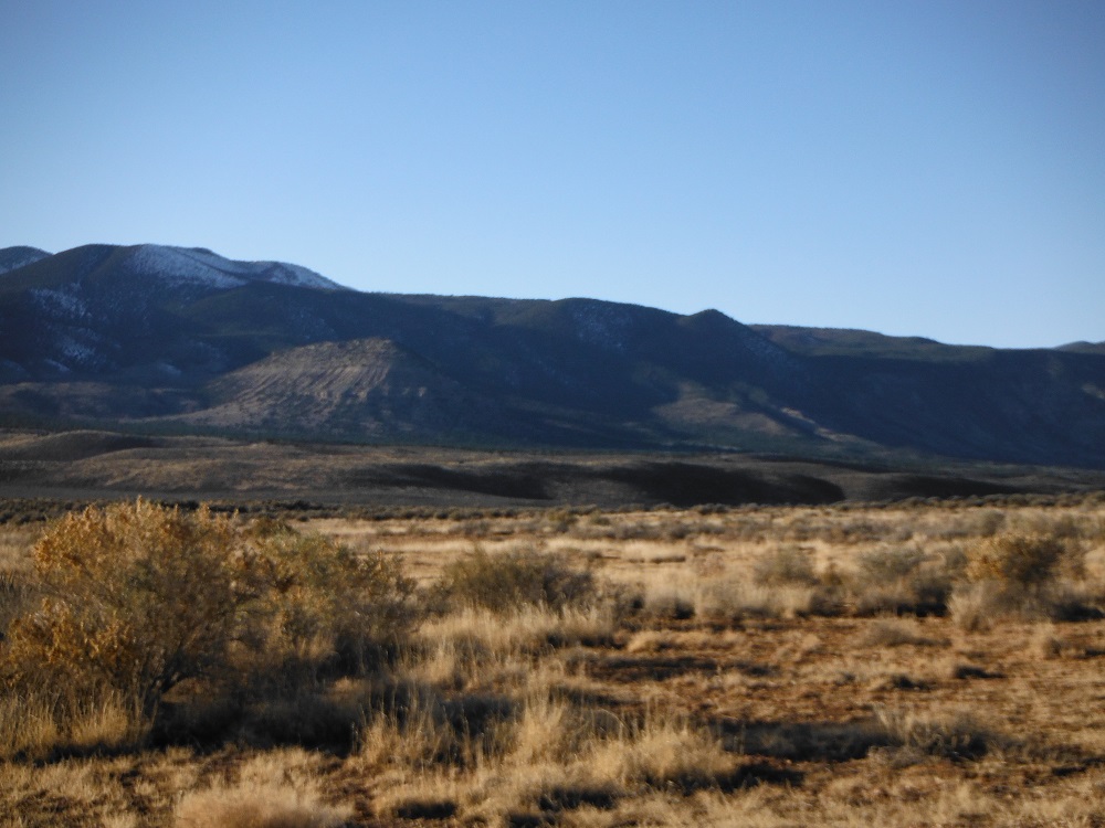
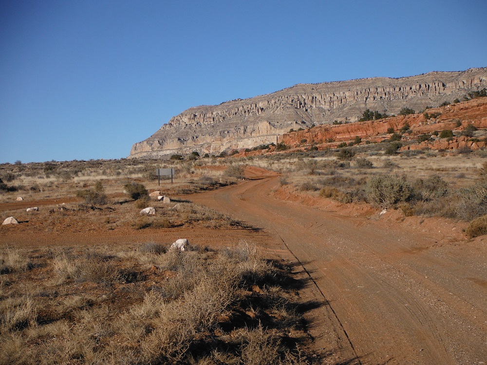
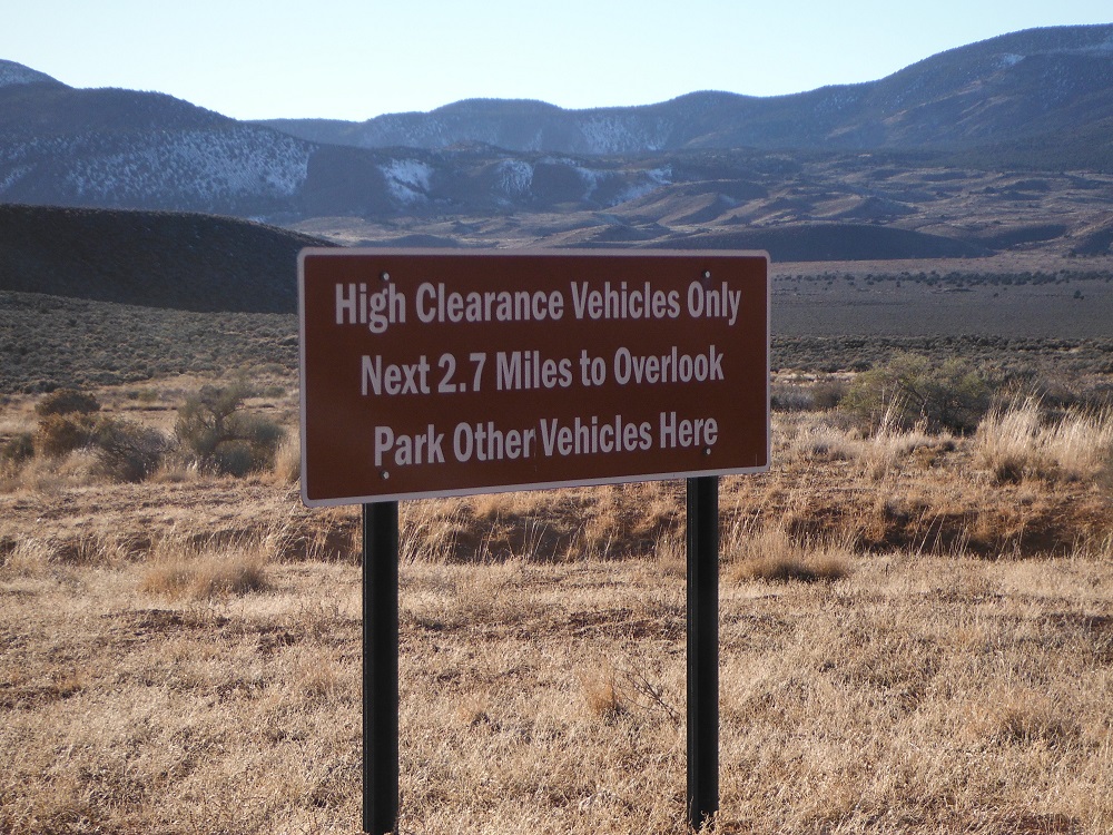
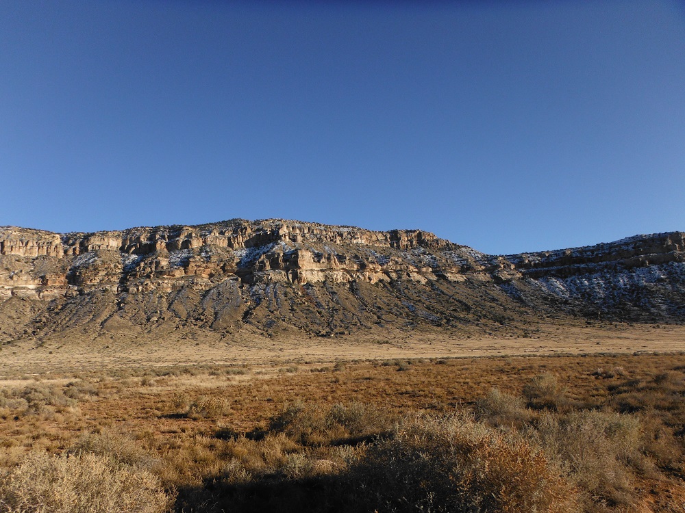
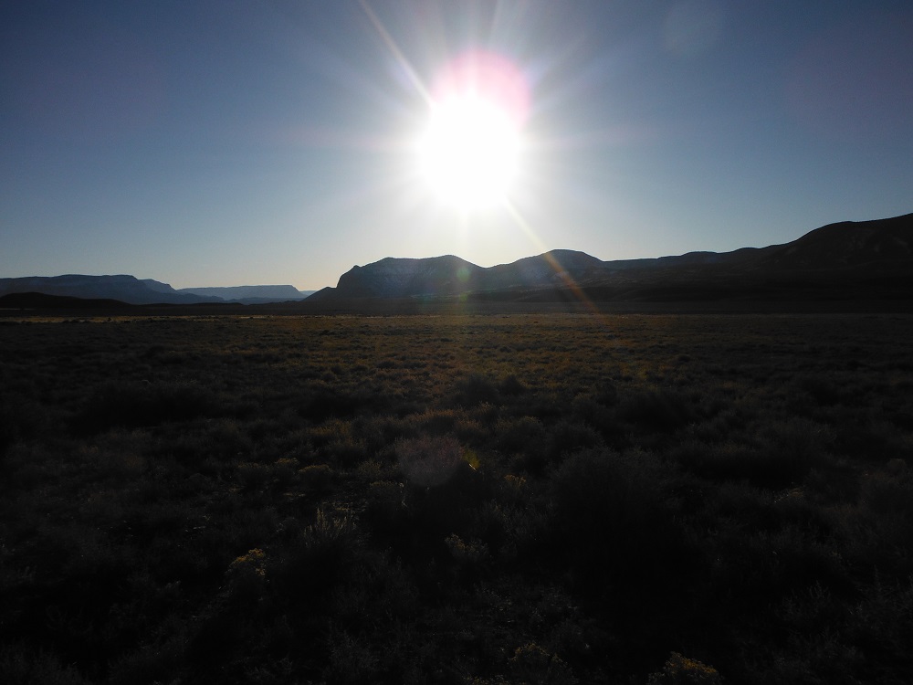
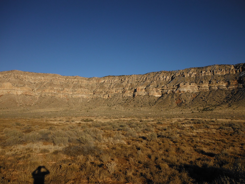
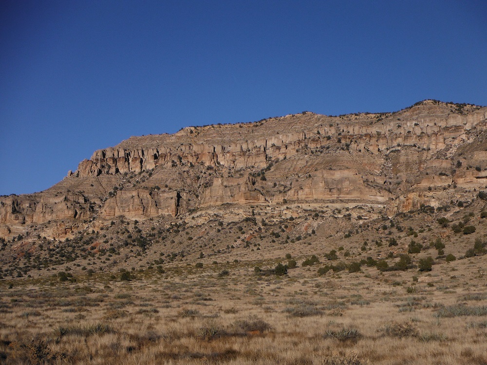
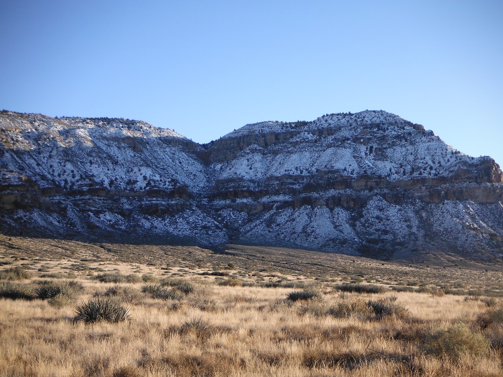
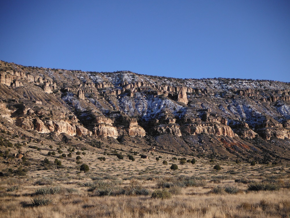
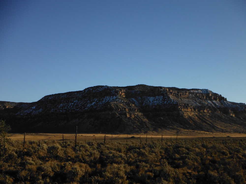
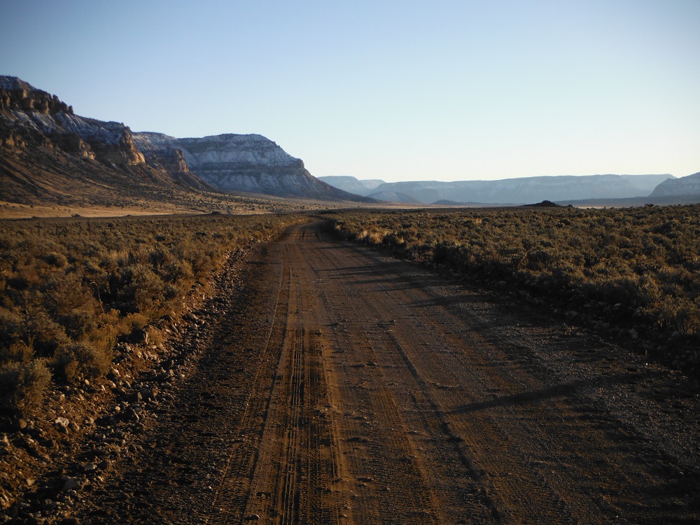
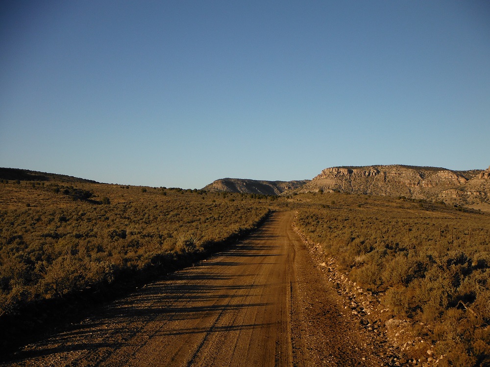
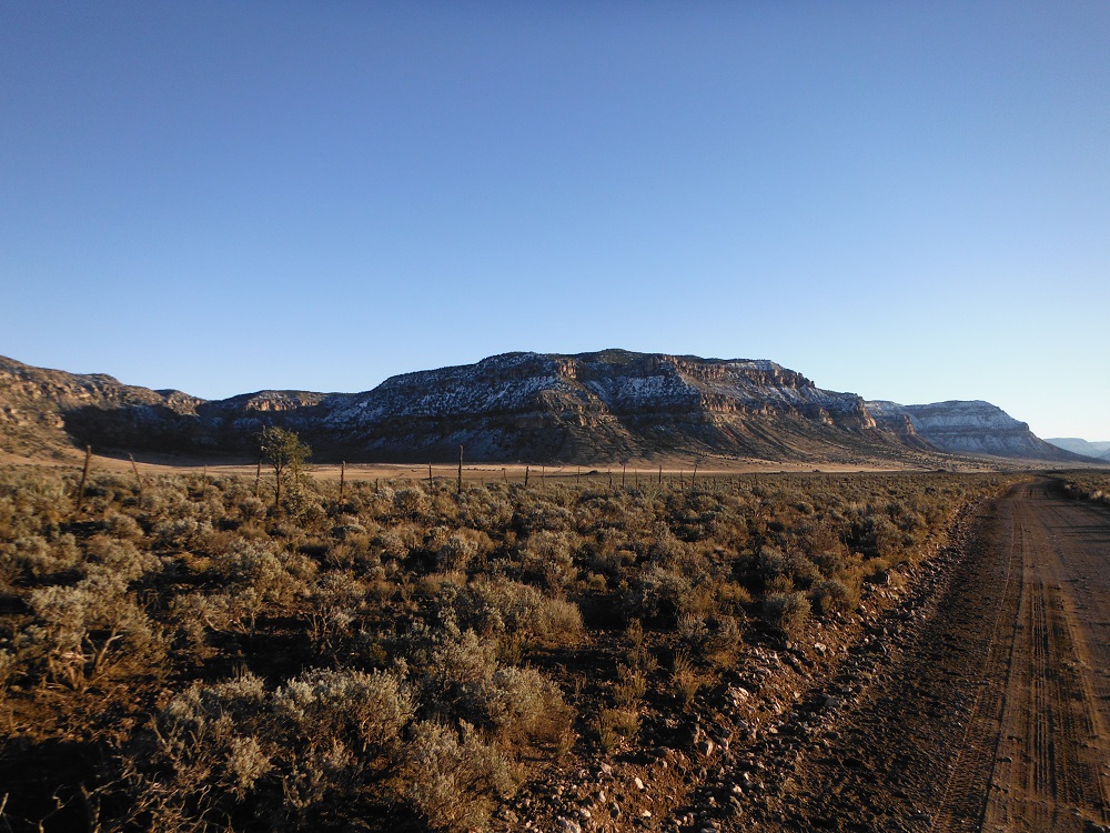
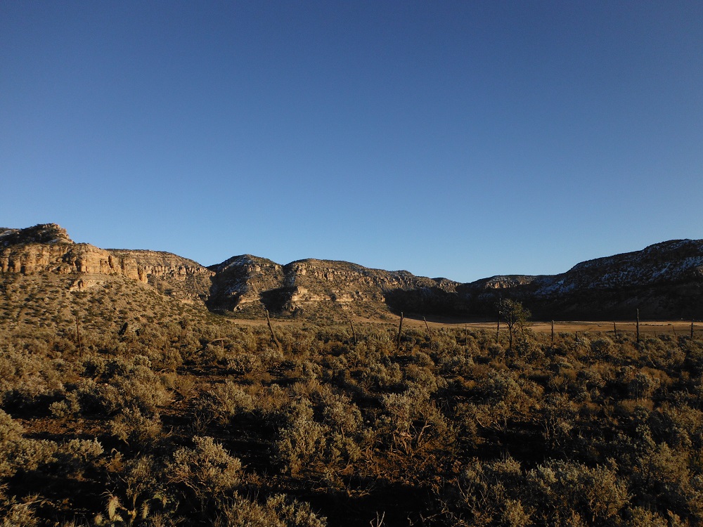
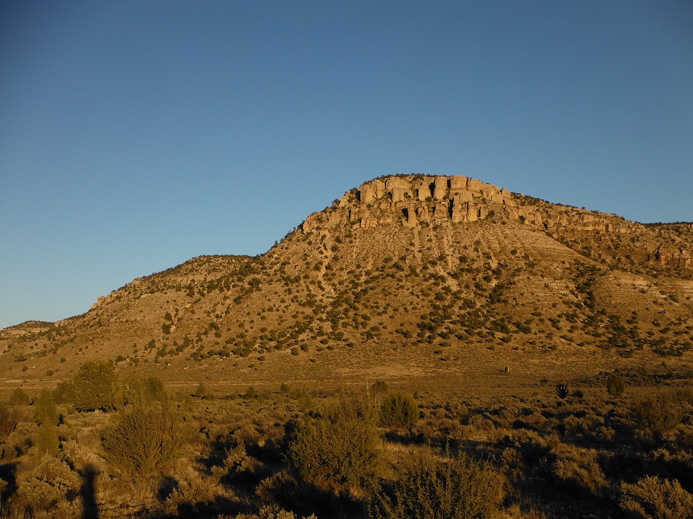
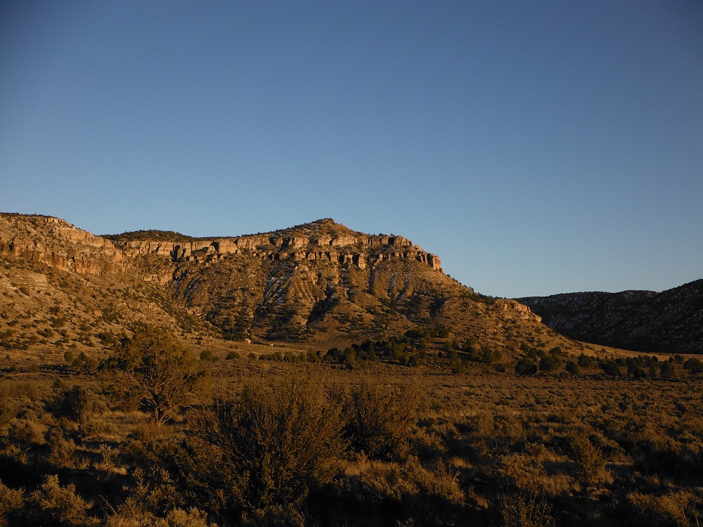
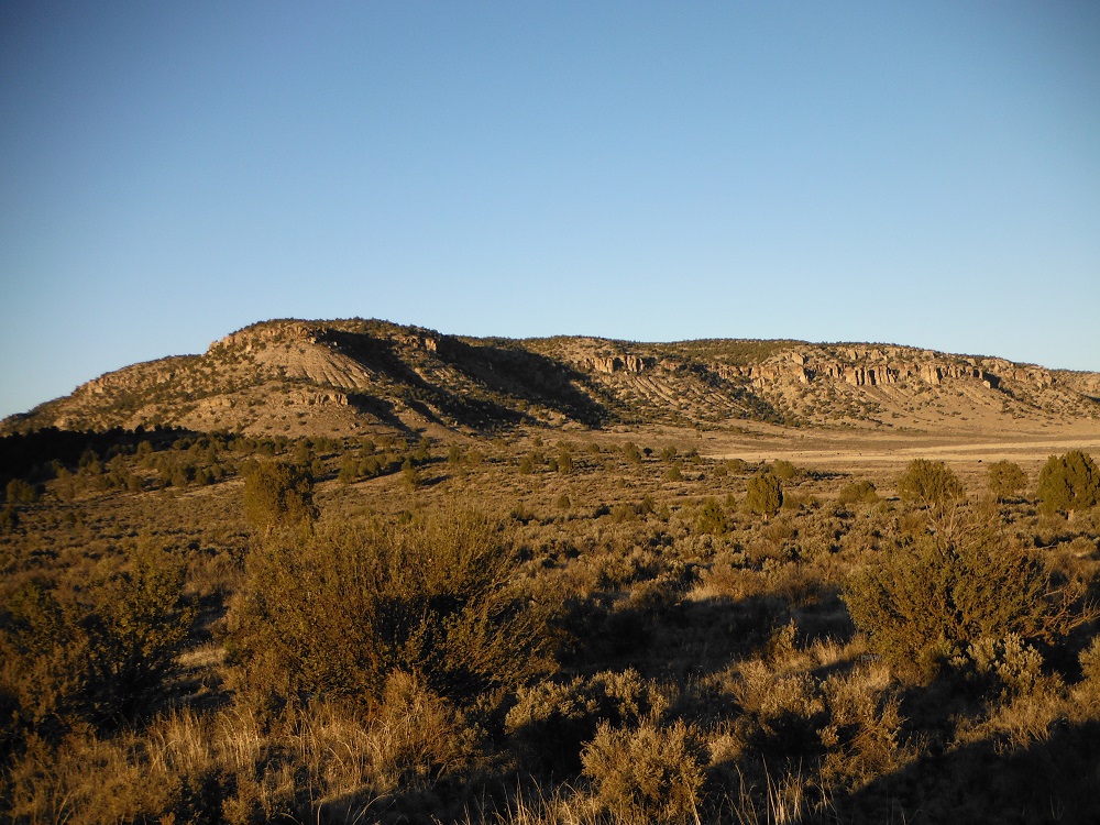
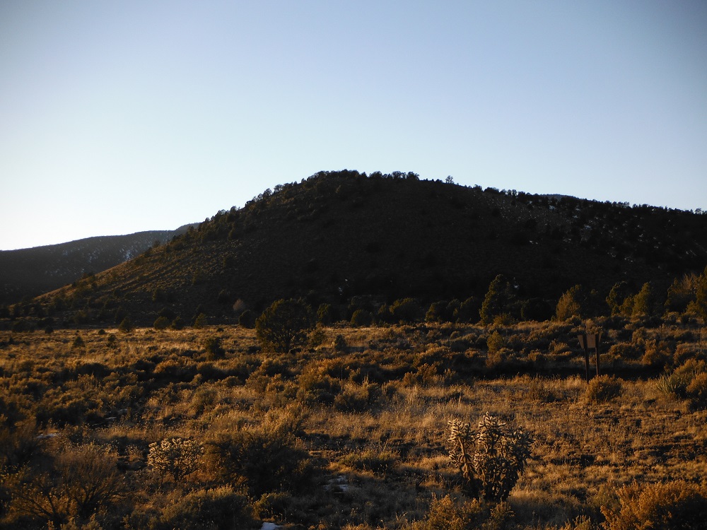
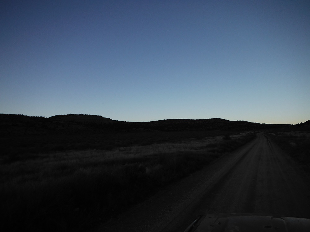
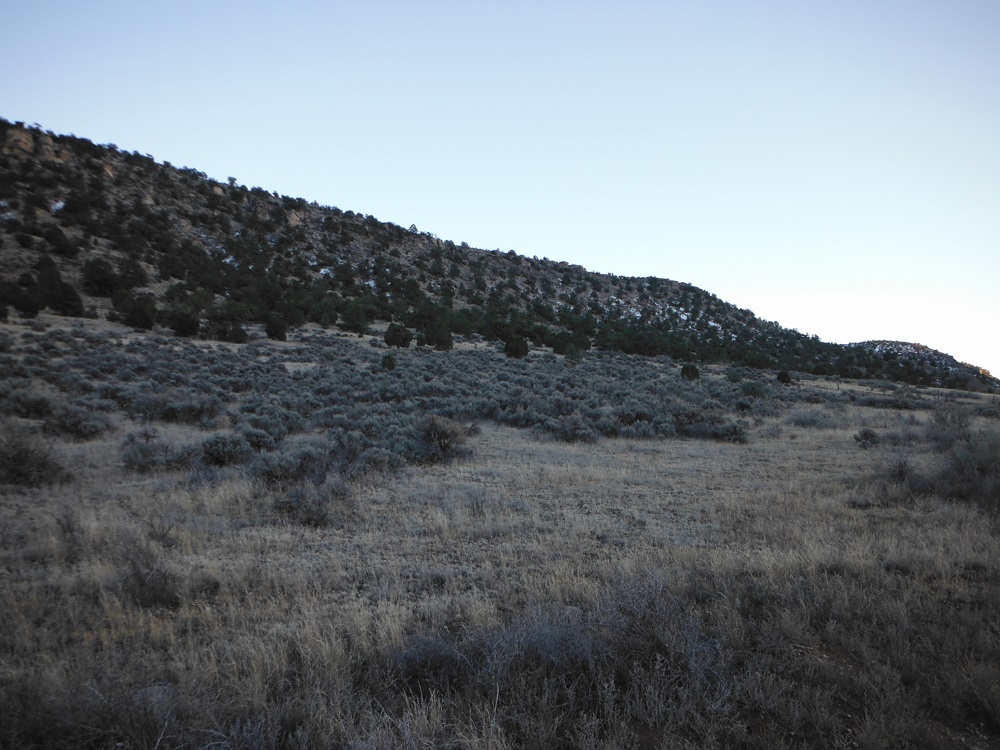
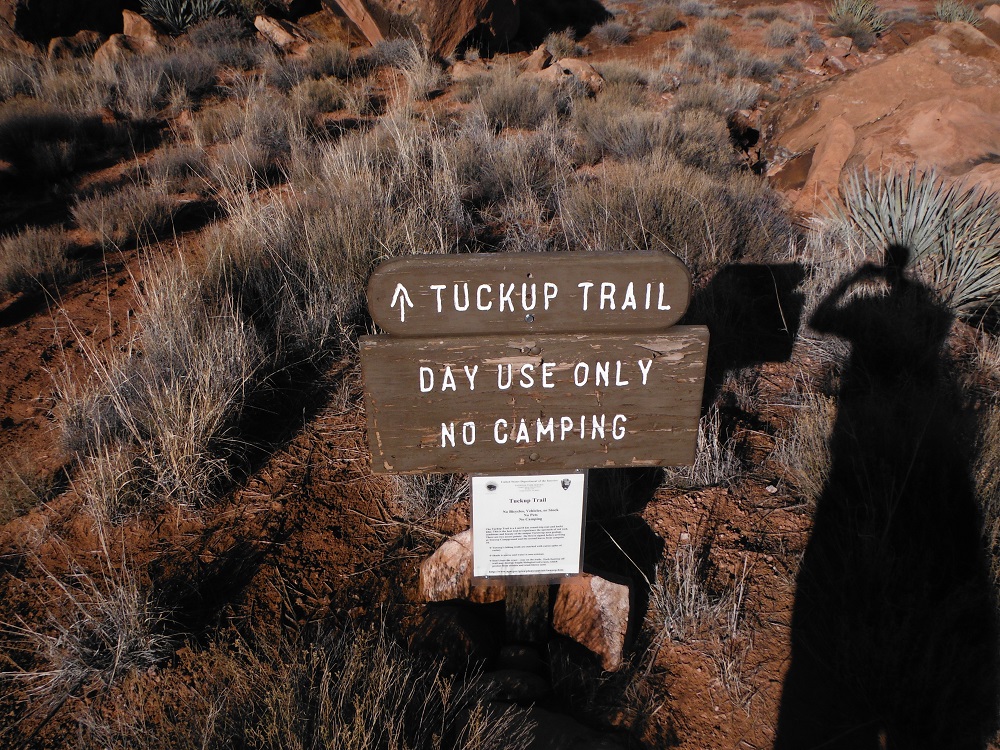
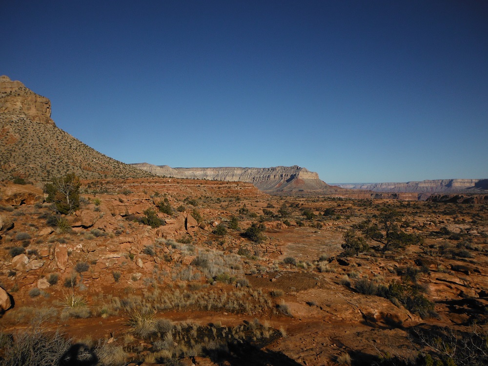
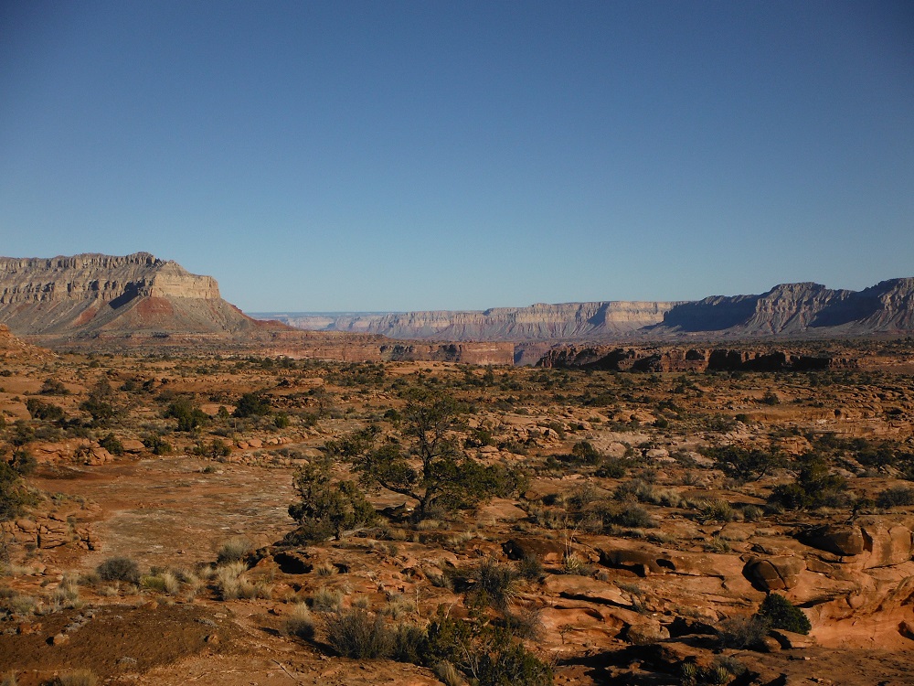
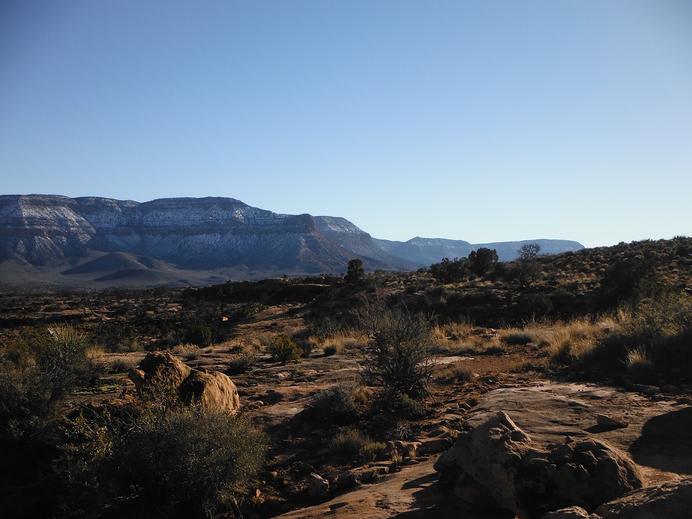
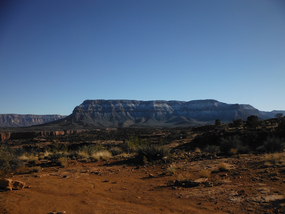
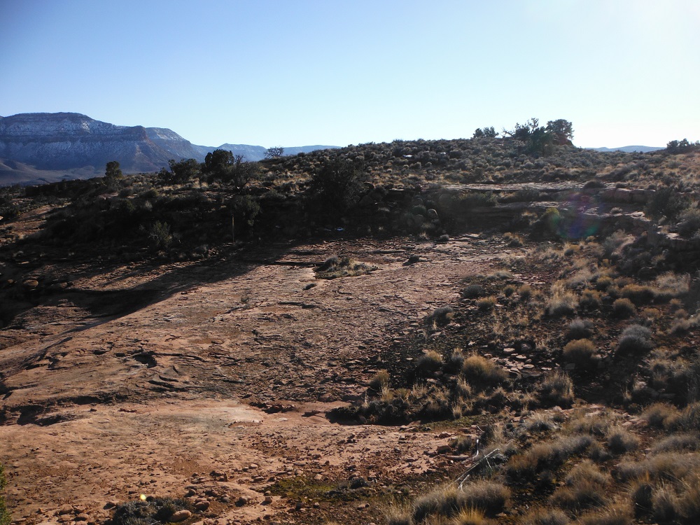
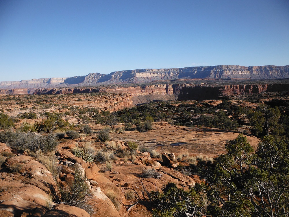
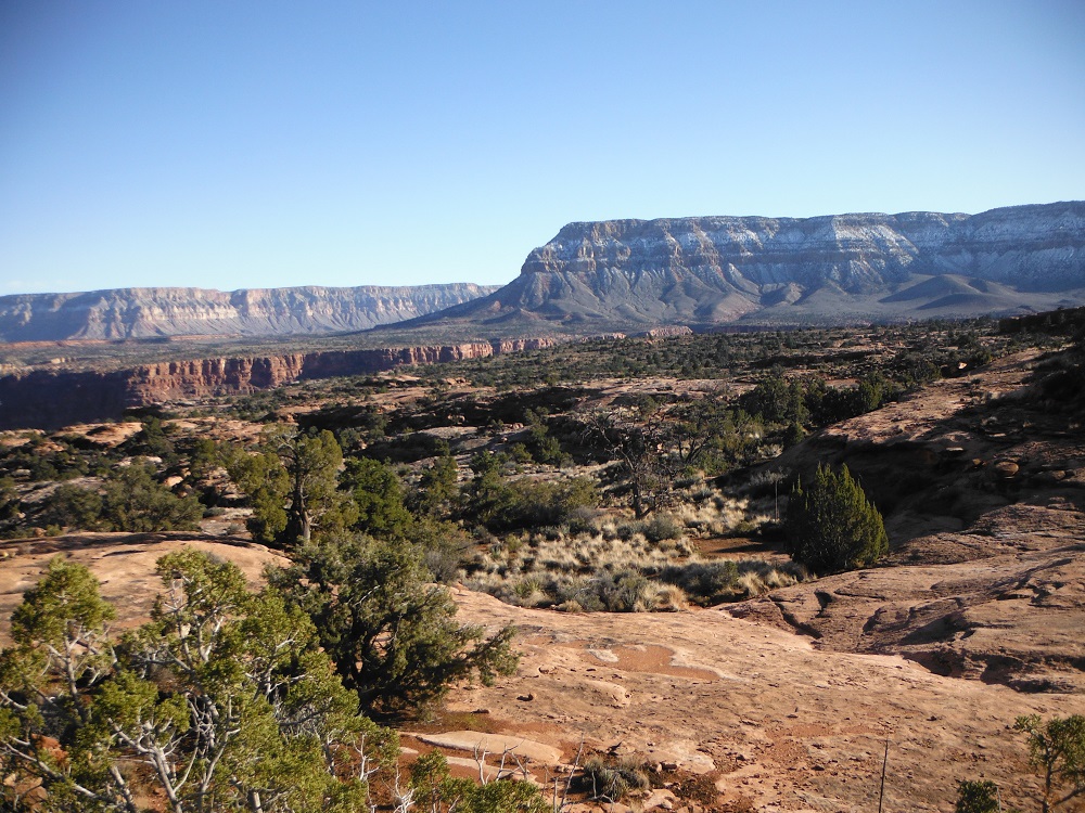
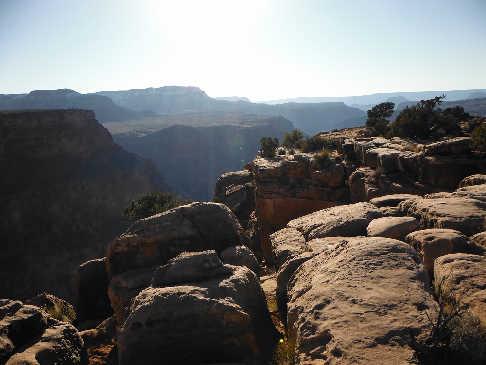
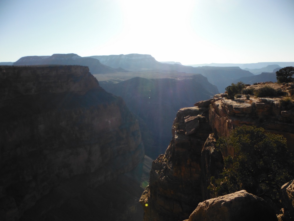
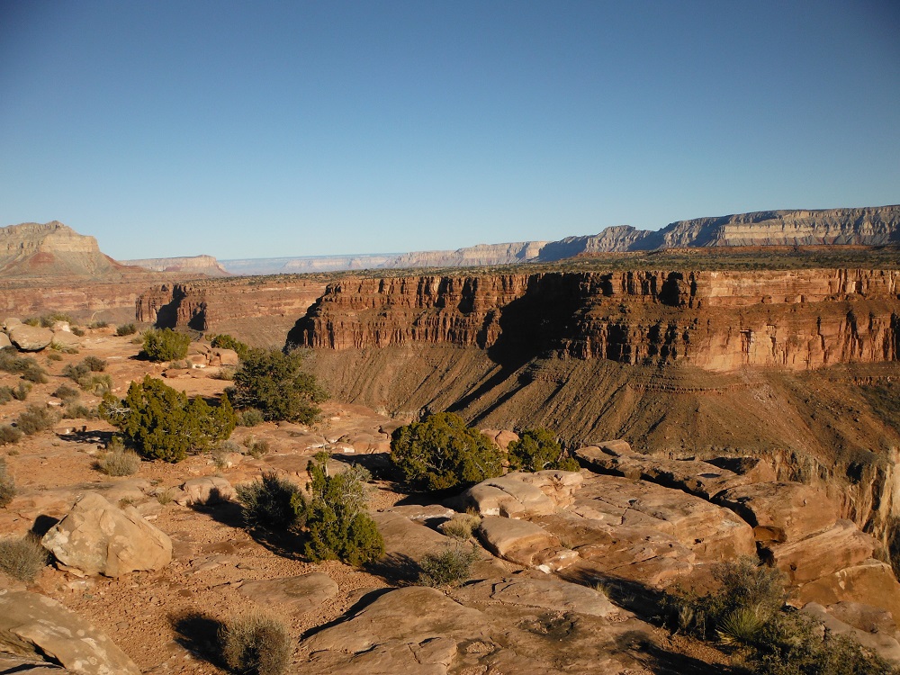
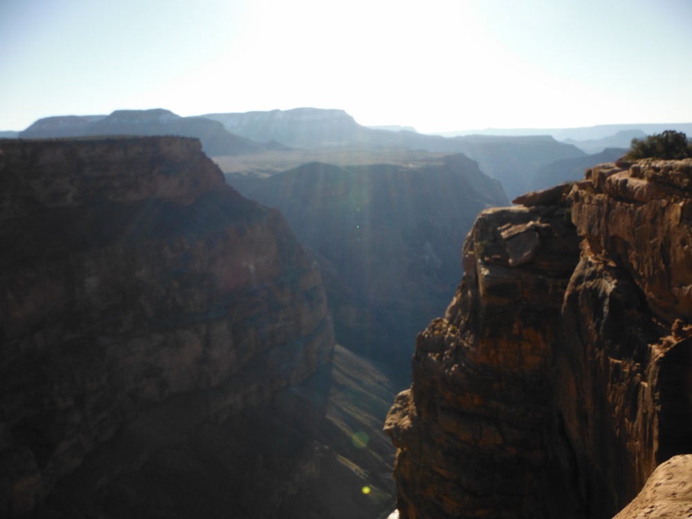
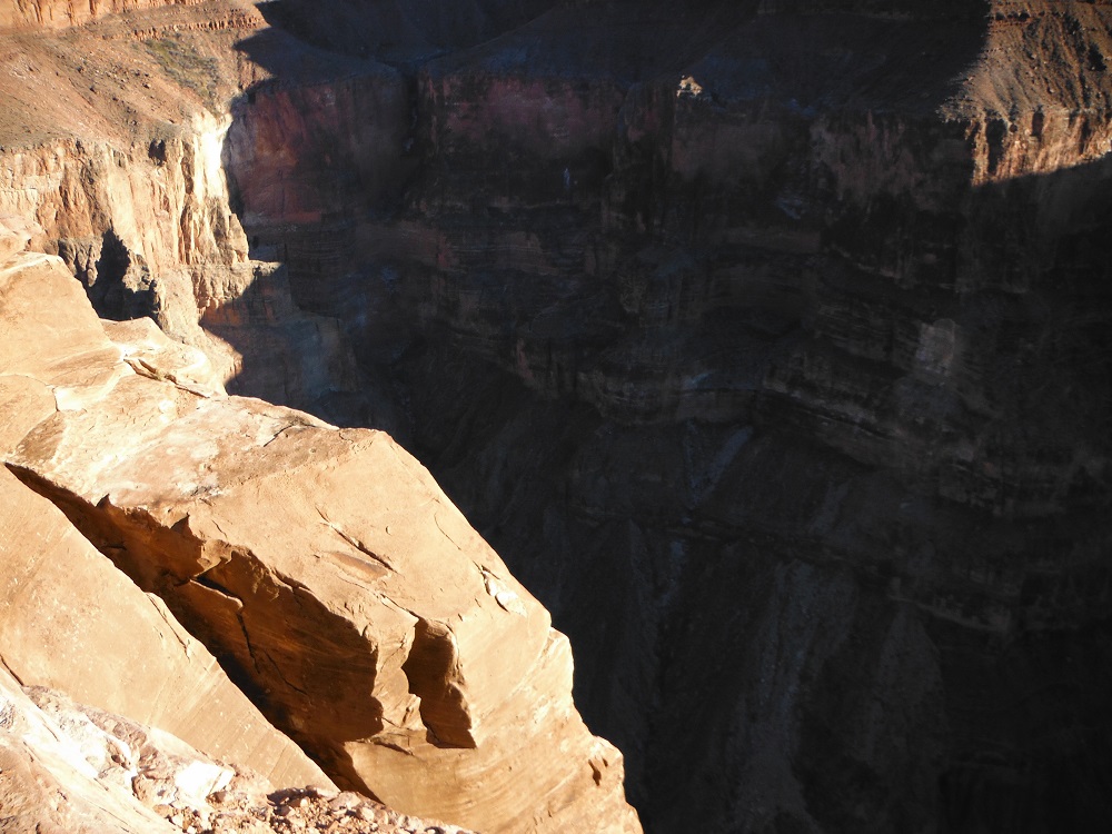
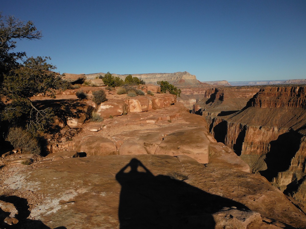
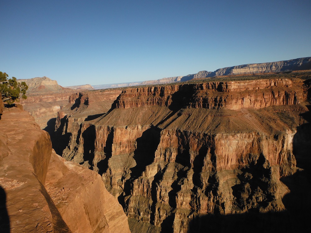
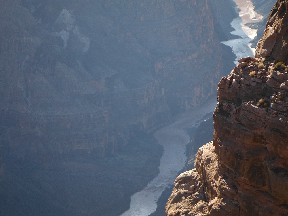
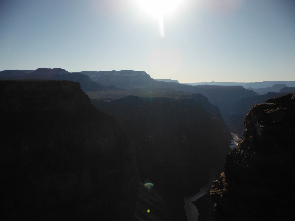
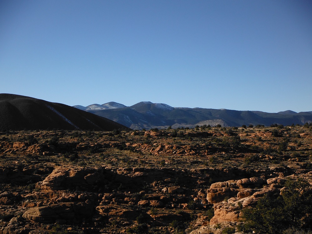
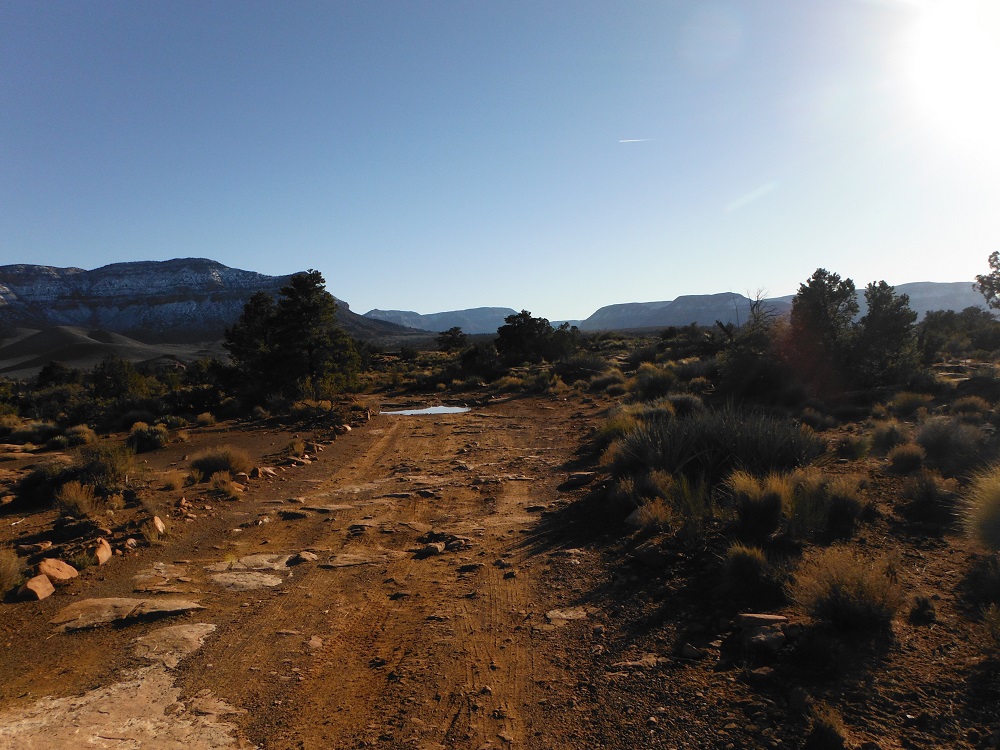
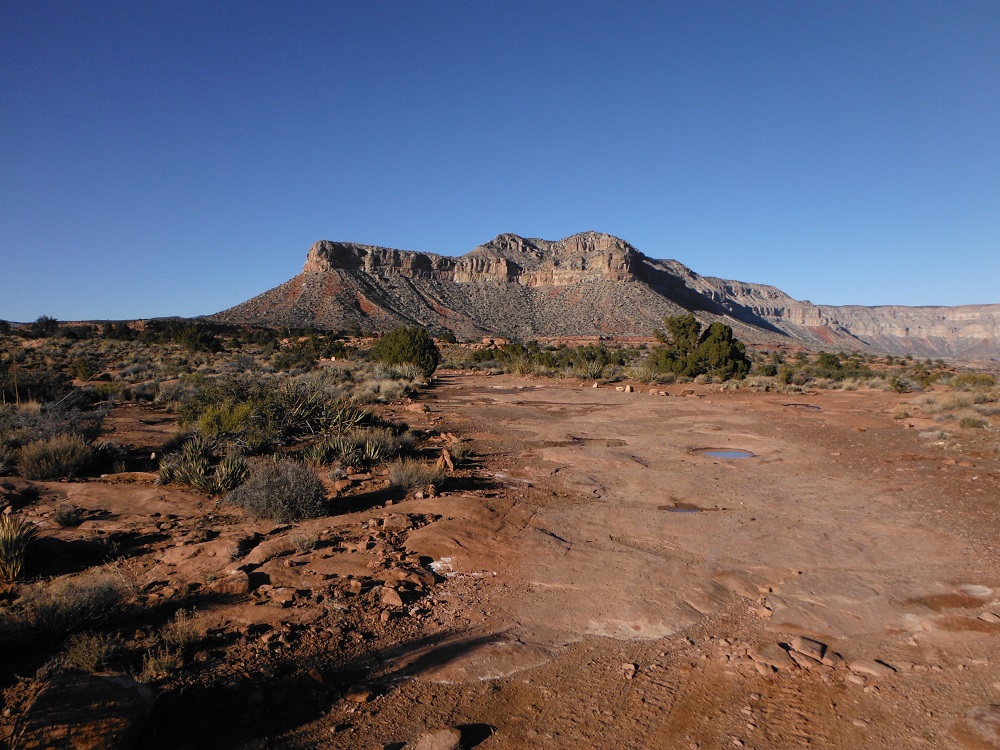
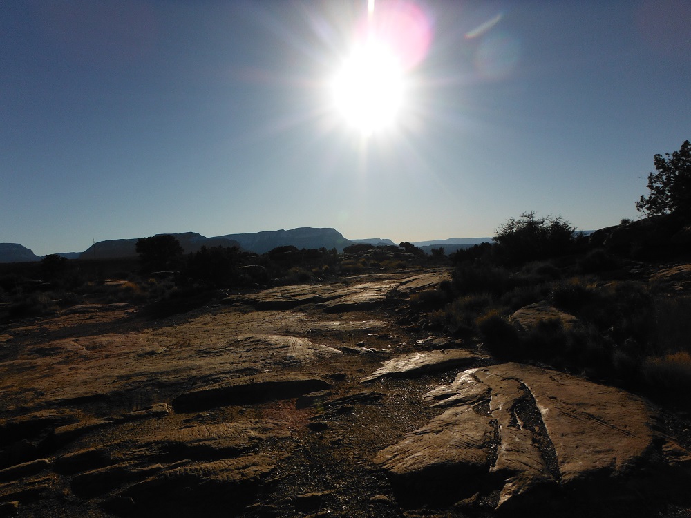
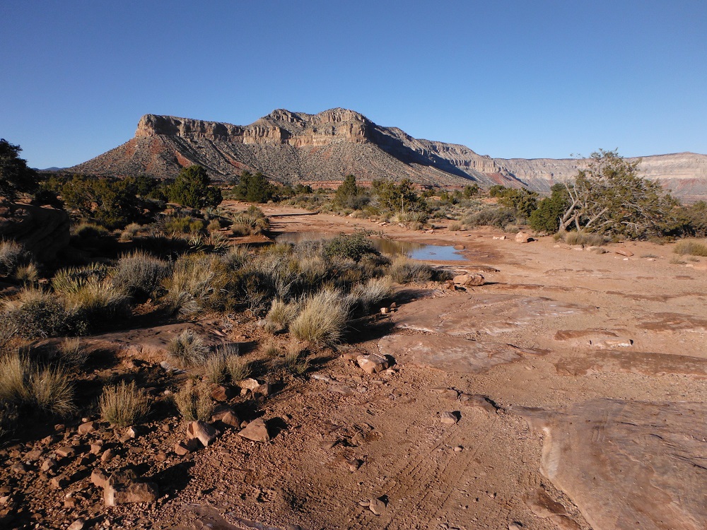
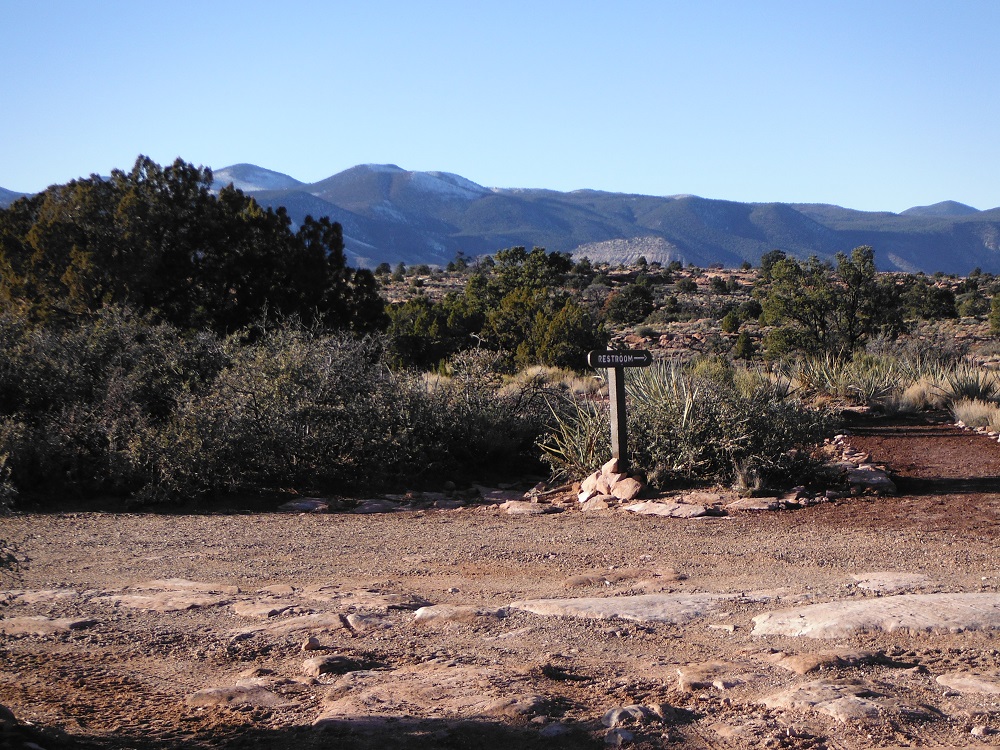
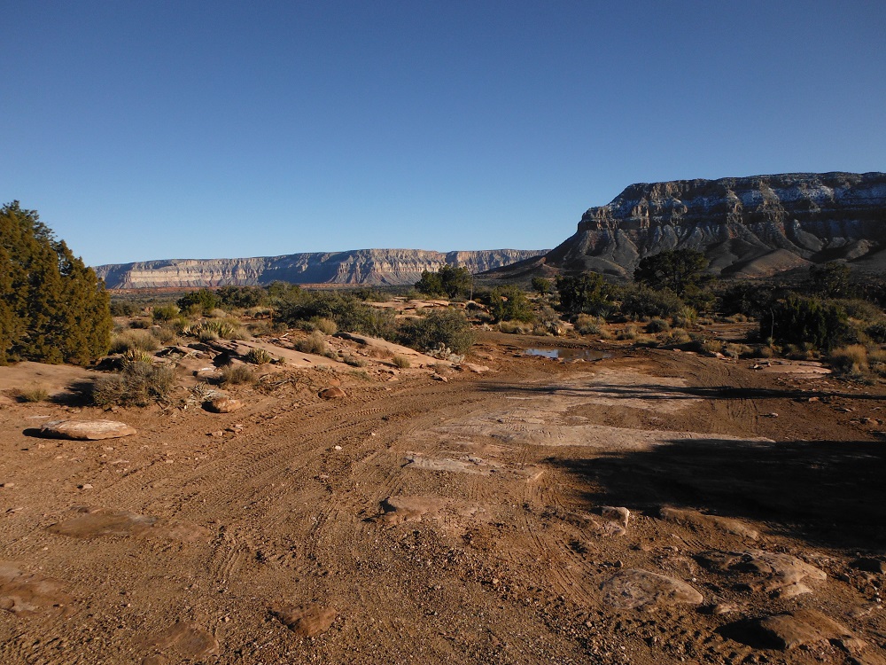
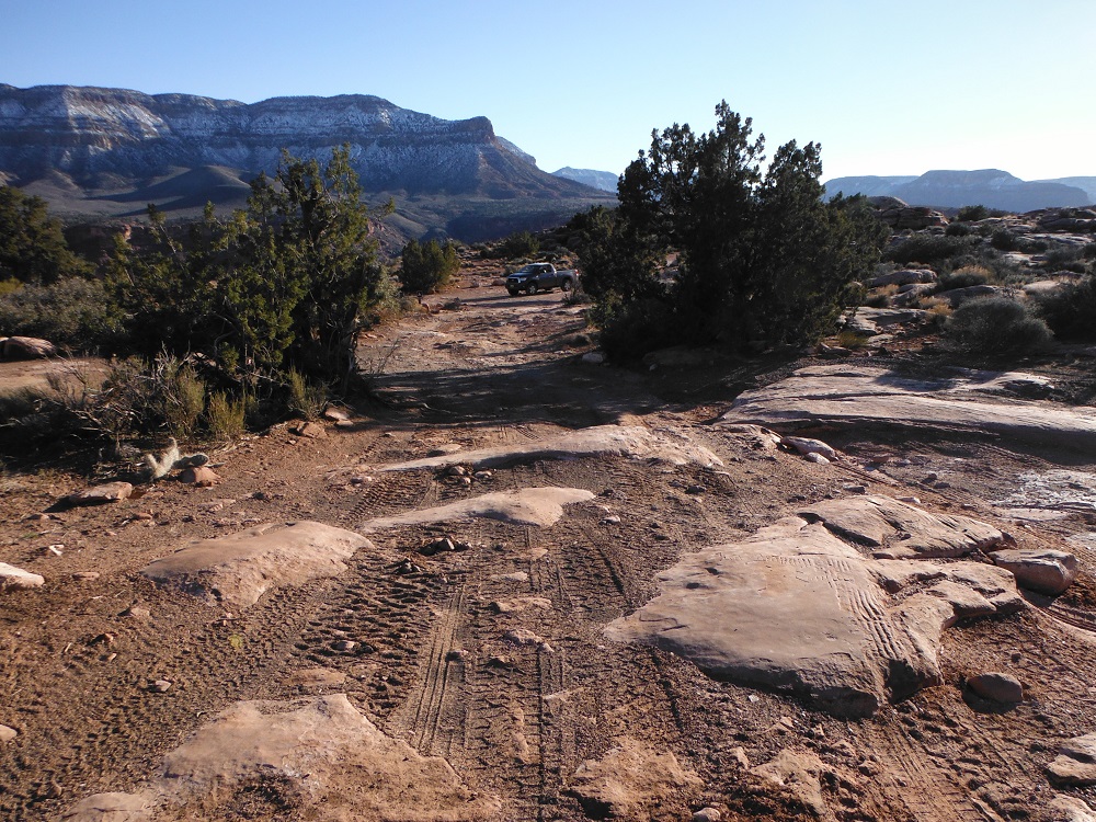
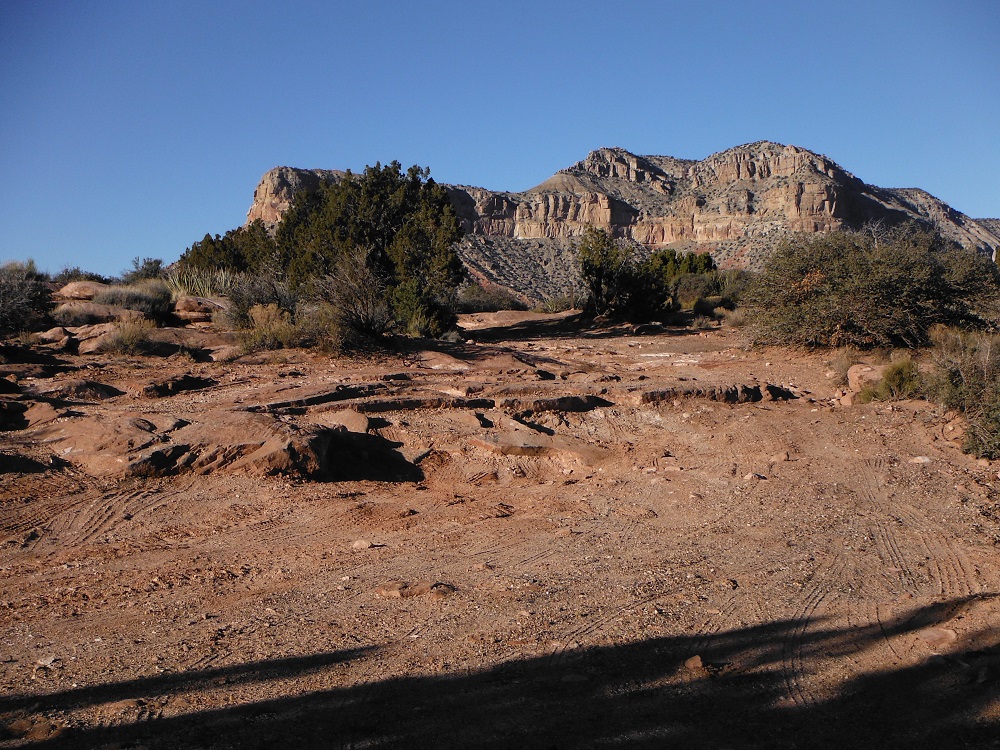
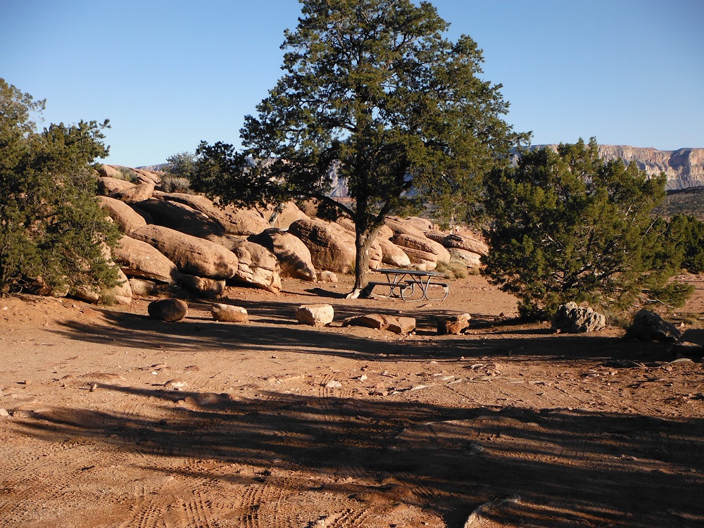
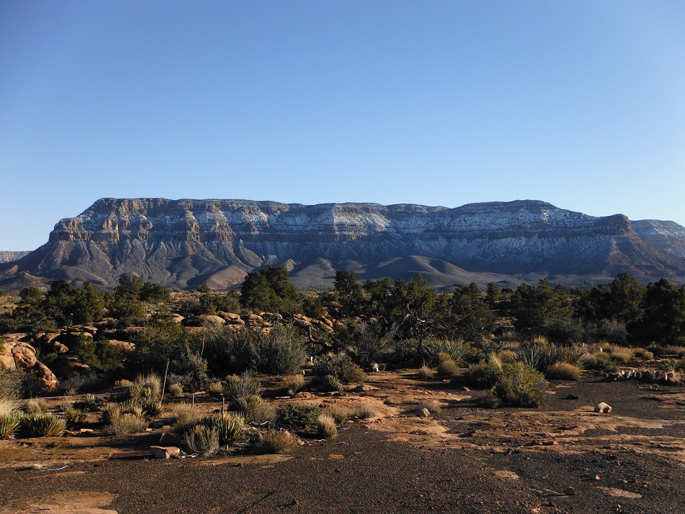
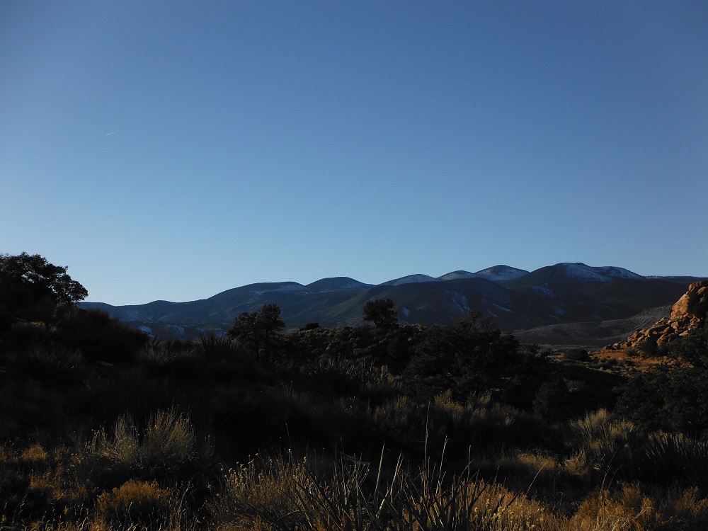
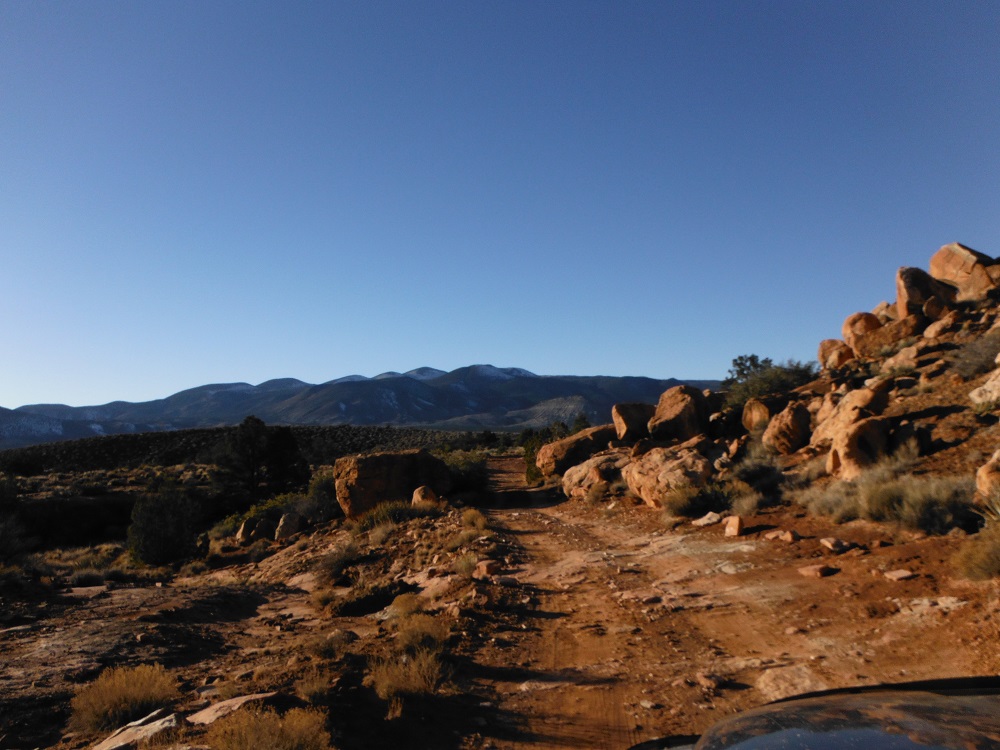
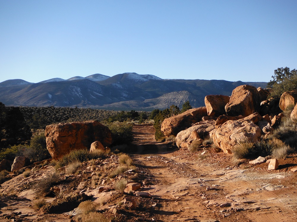
The roads to Toroweap Overlook are easy until the last few miles and even then aren’t too difficult. Understand that if the road is muddy (like how I found it) you will need a truck with good ground clearance, 4WD, and decent tires. There are multiple paths to Toroweap Overlook such as from AZ-389 (near Fredonia, AZ) or from Colorado City, AZ (not too far from I-15). The trip one way is a little over sixty miles and will take most of the day to complete the round trip. At first your driving through some Reservation land and ranches where you aren’t allowed to camp nor should you park for too long. Once you leave the Kaibab Indian Reservation there are more places to stop and a lot of side trails. You won’t actually reach the Mount Turnbull Wildreness until the last 15 miles or so. Just prior to the road getting a little rougher there is a ranger station you must pass by. You will not be allowed past 30 minutes before sunrise and are generally not allowed to camp out past this point.
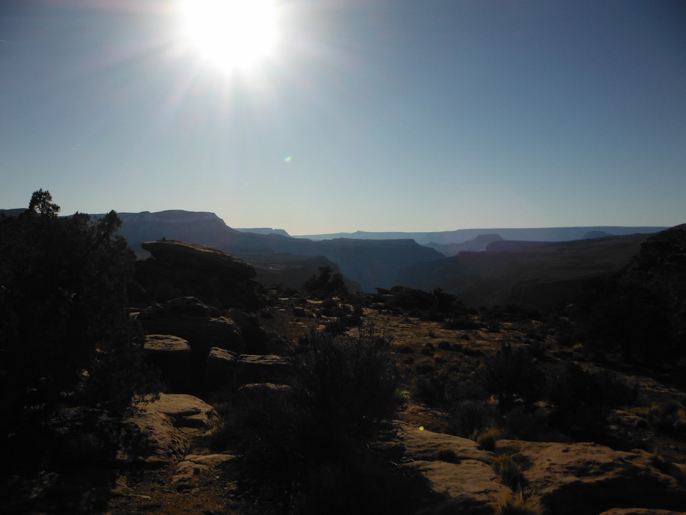
As the day wore on I passed a number of people who were driving quickly around blind corners so drive slowly and be careful out there. Be sure to check the for up to date documents on the appropriate websites. Google Maps
National Park Service web page information Map of Grand Canyon-Parashant National Monument Grand Canyon-Parashant National Monument Long-Range Interpretive Plan