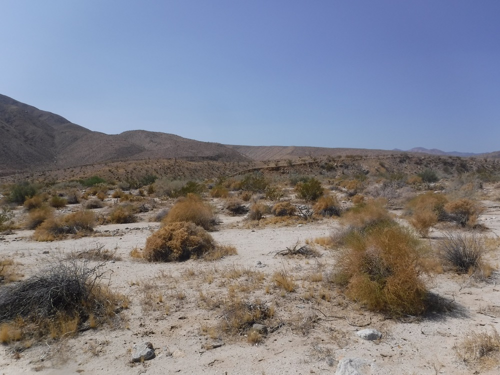
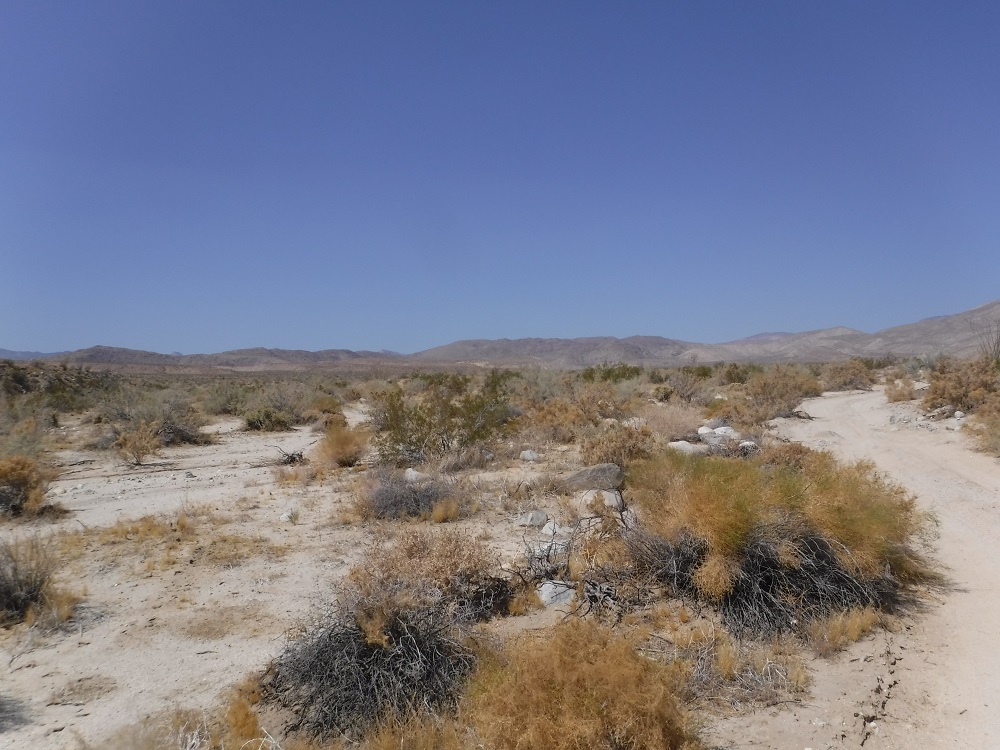
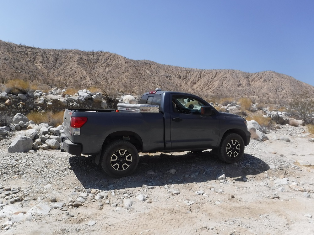
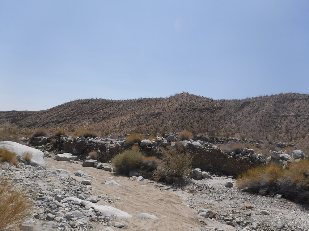
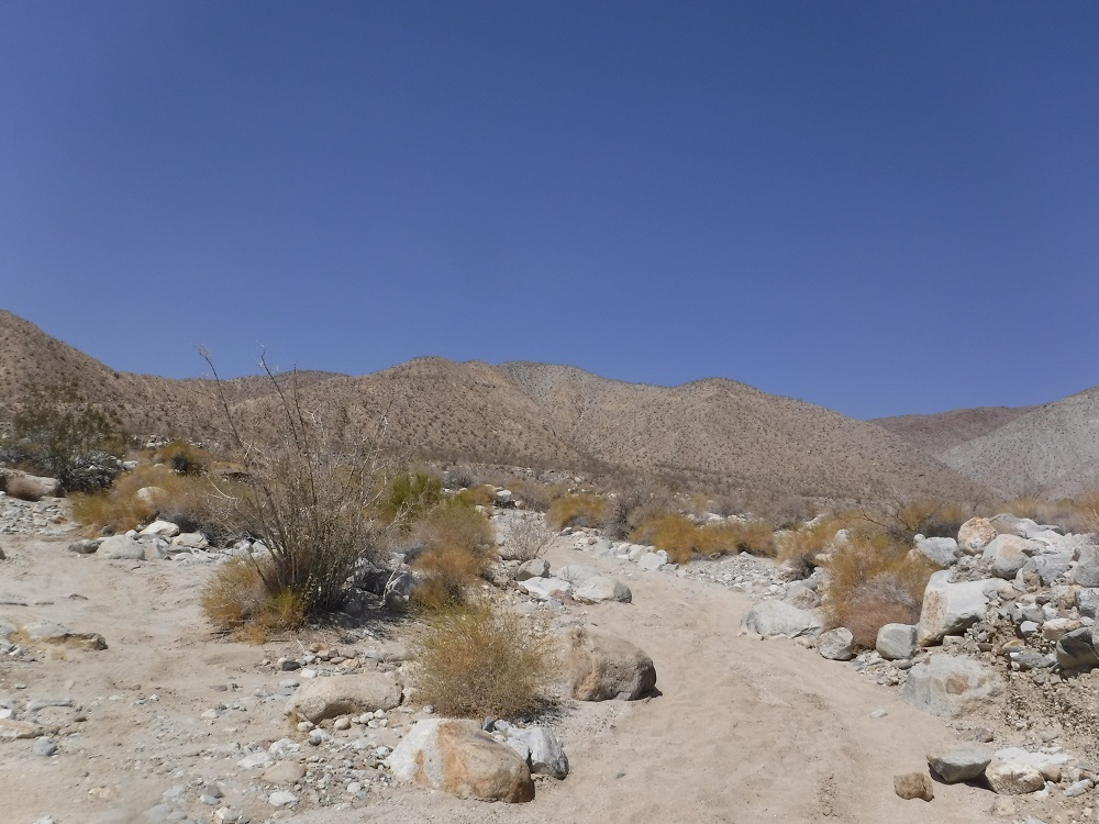
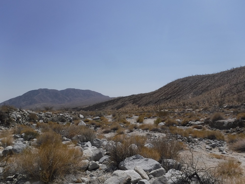
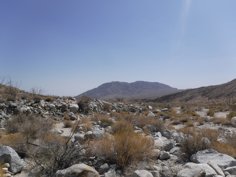
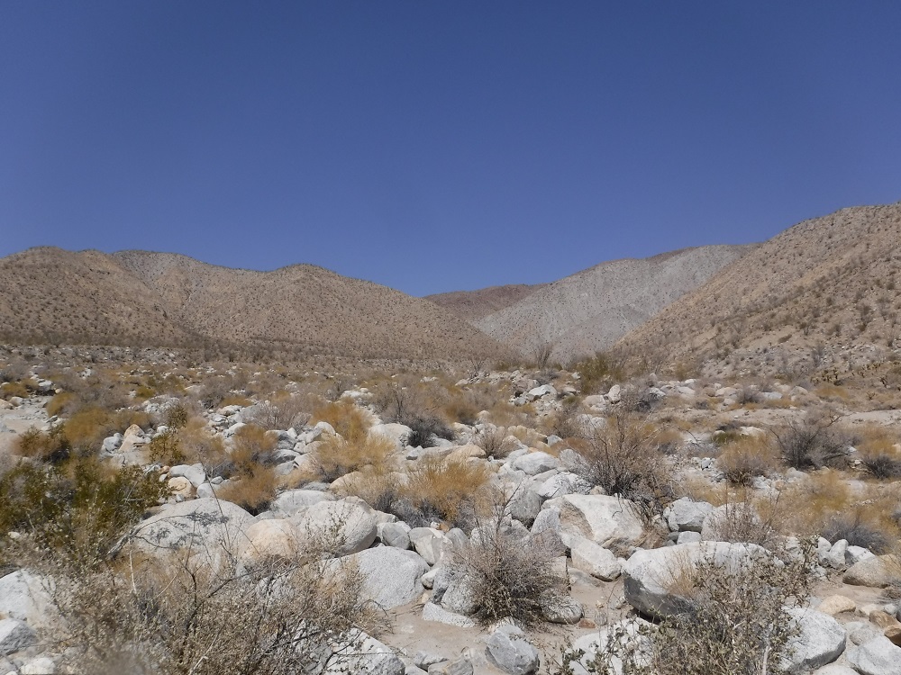
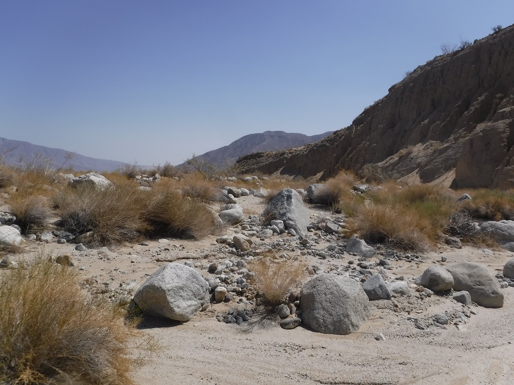
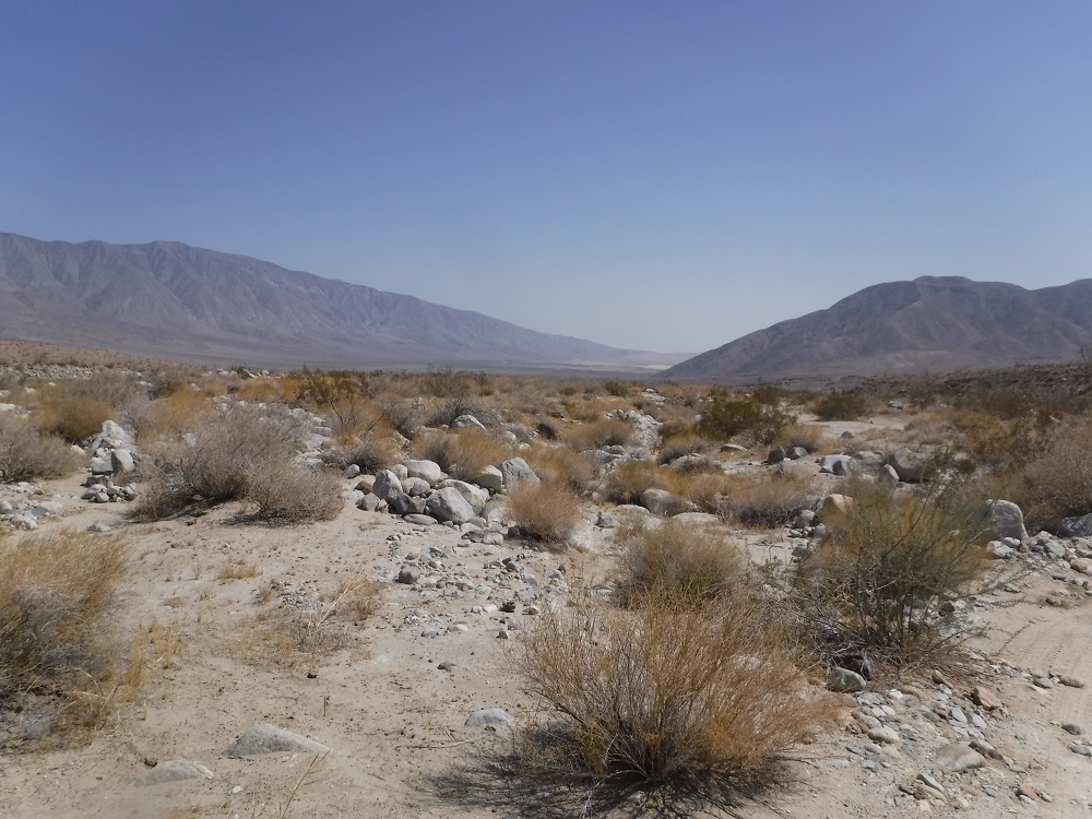
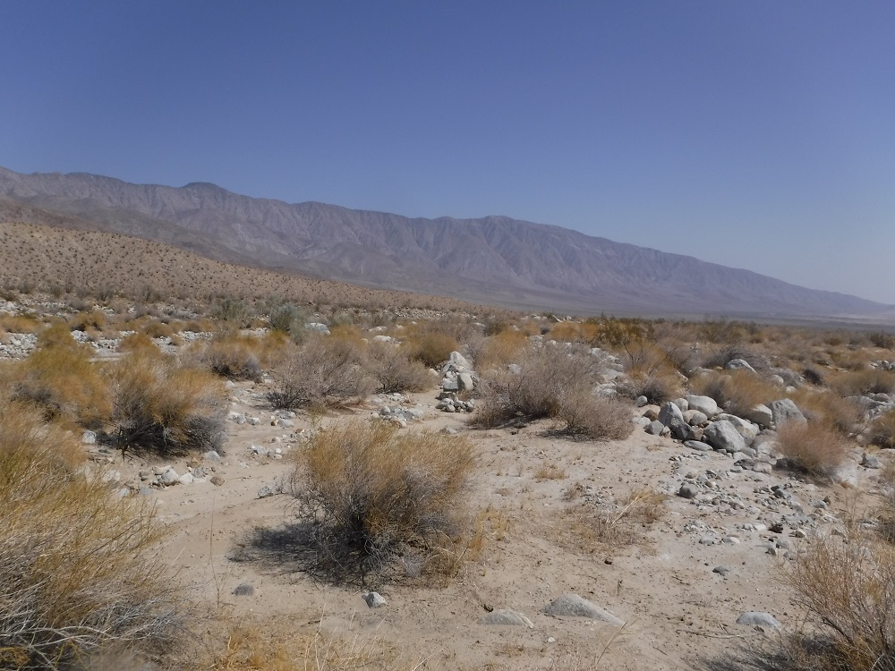
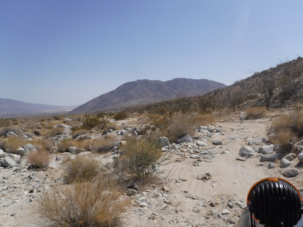
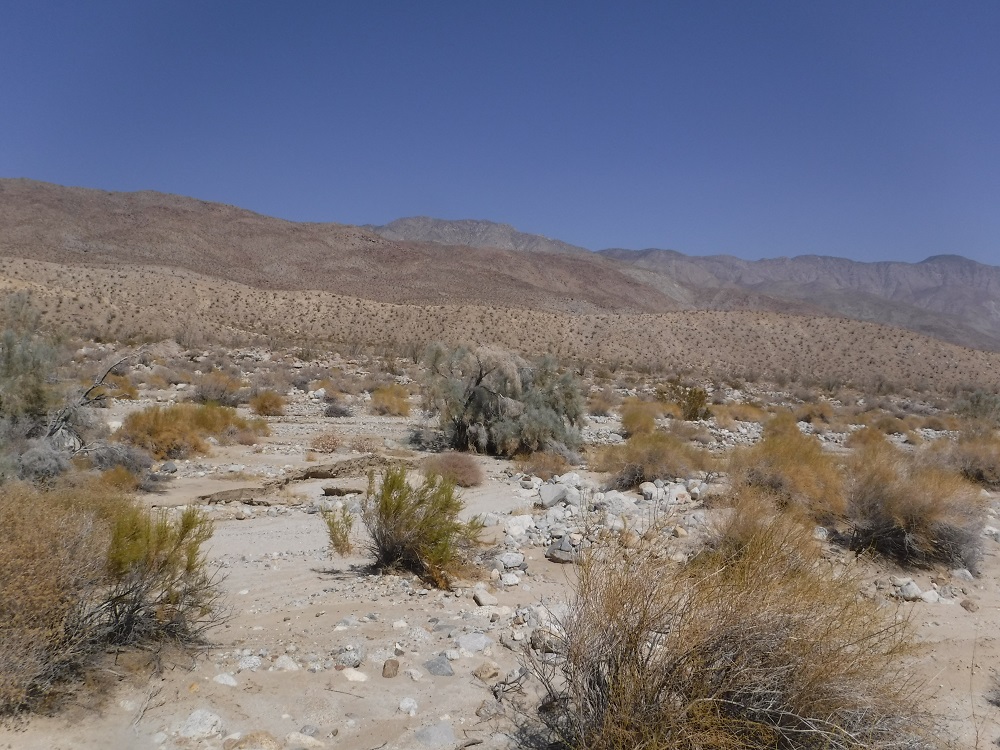
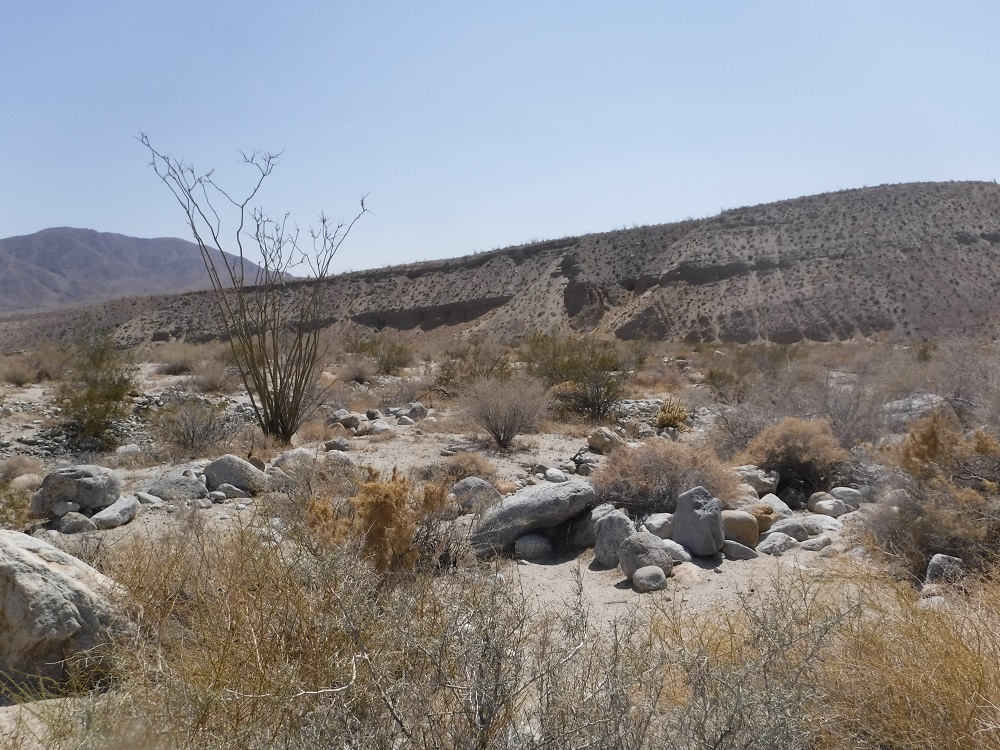
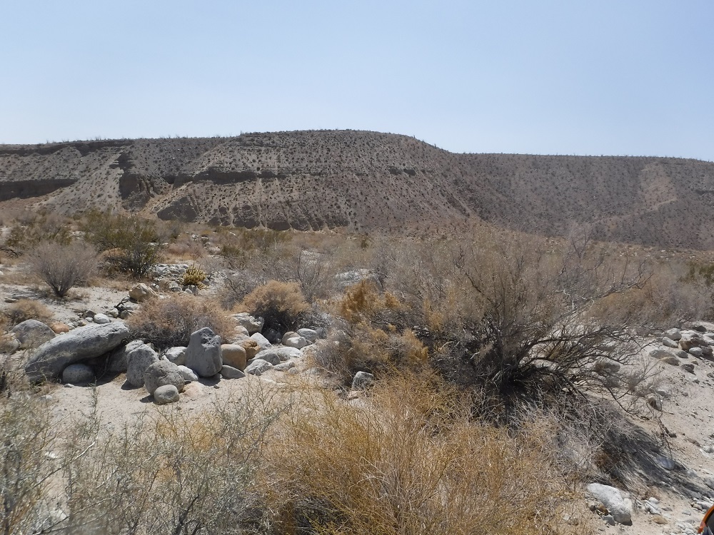
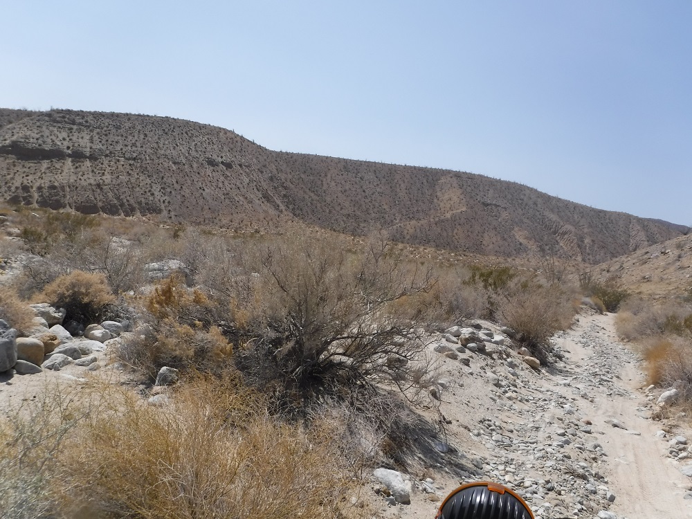
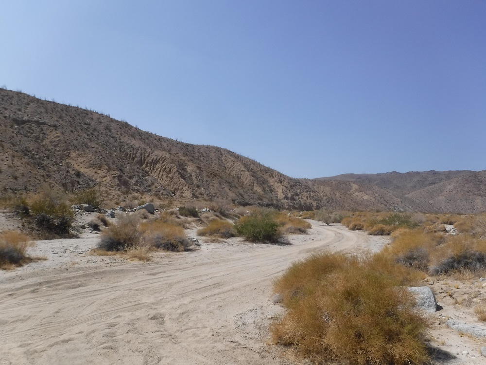
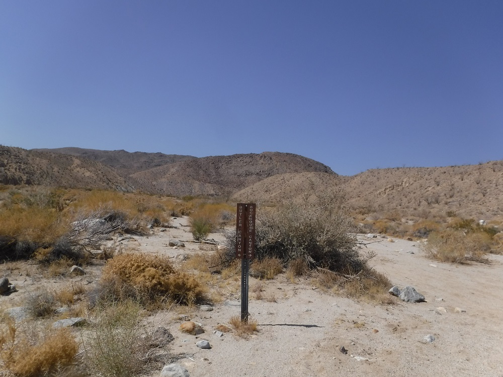
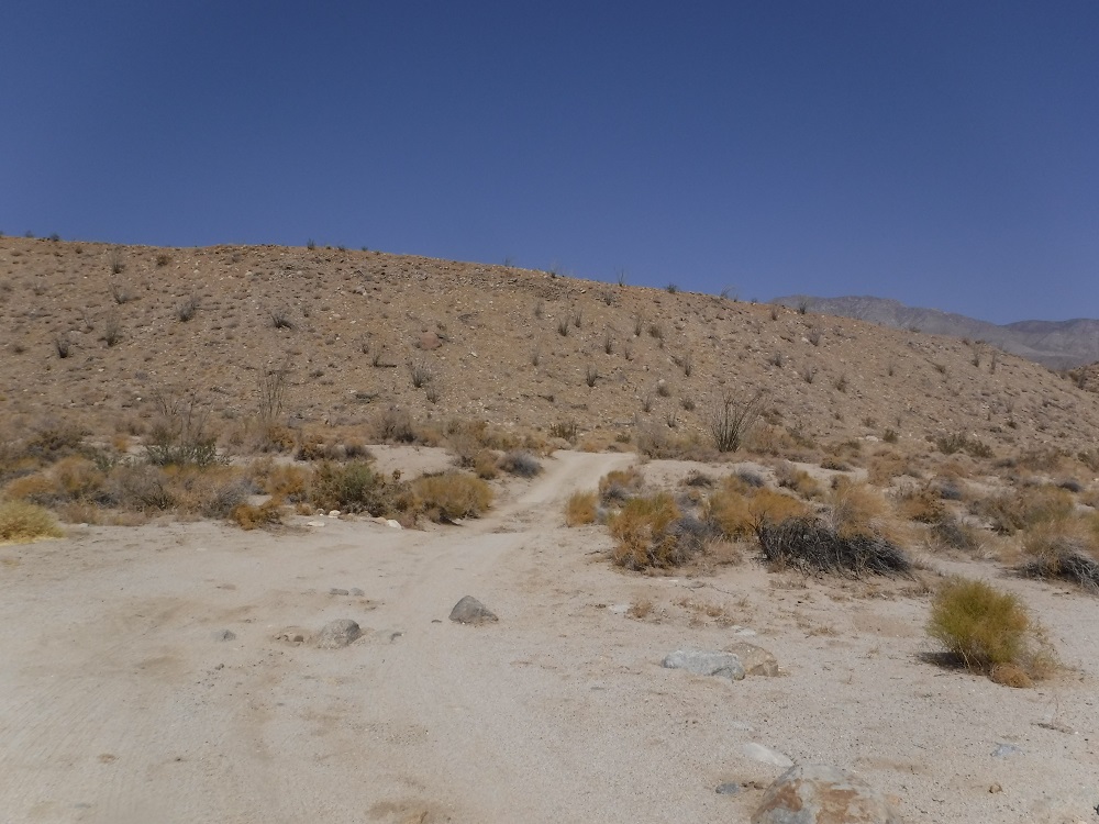
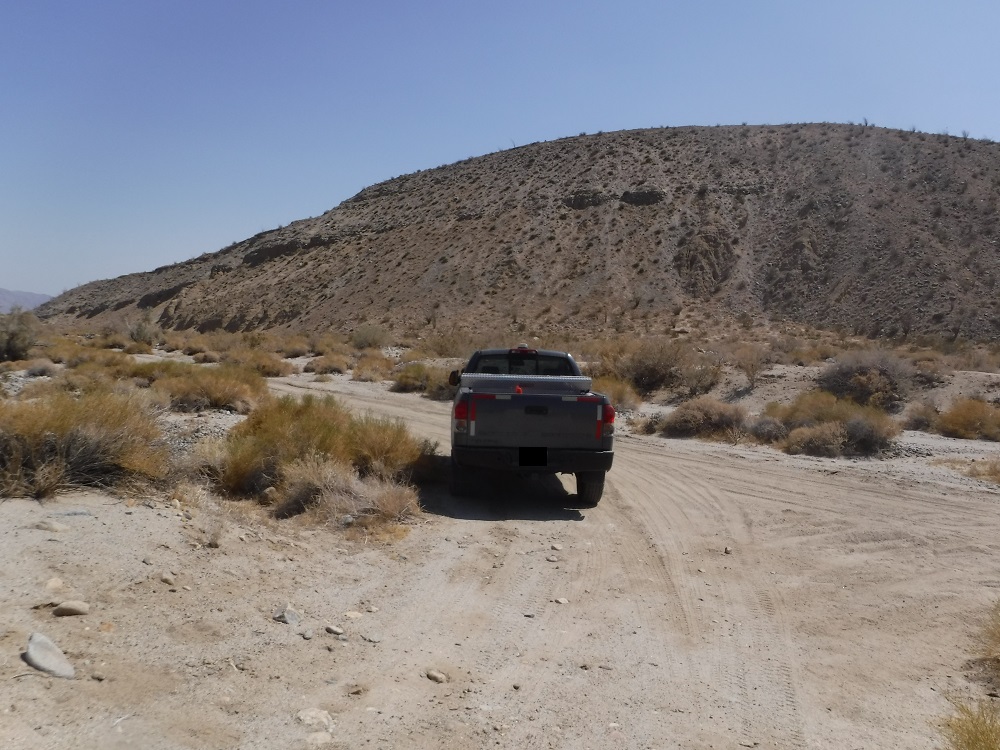
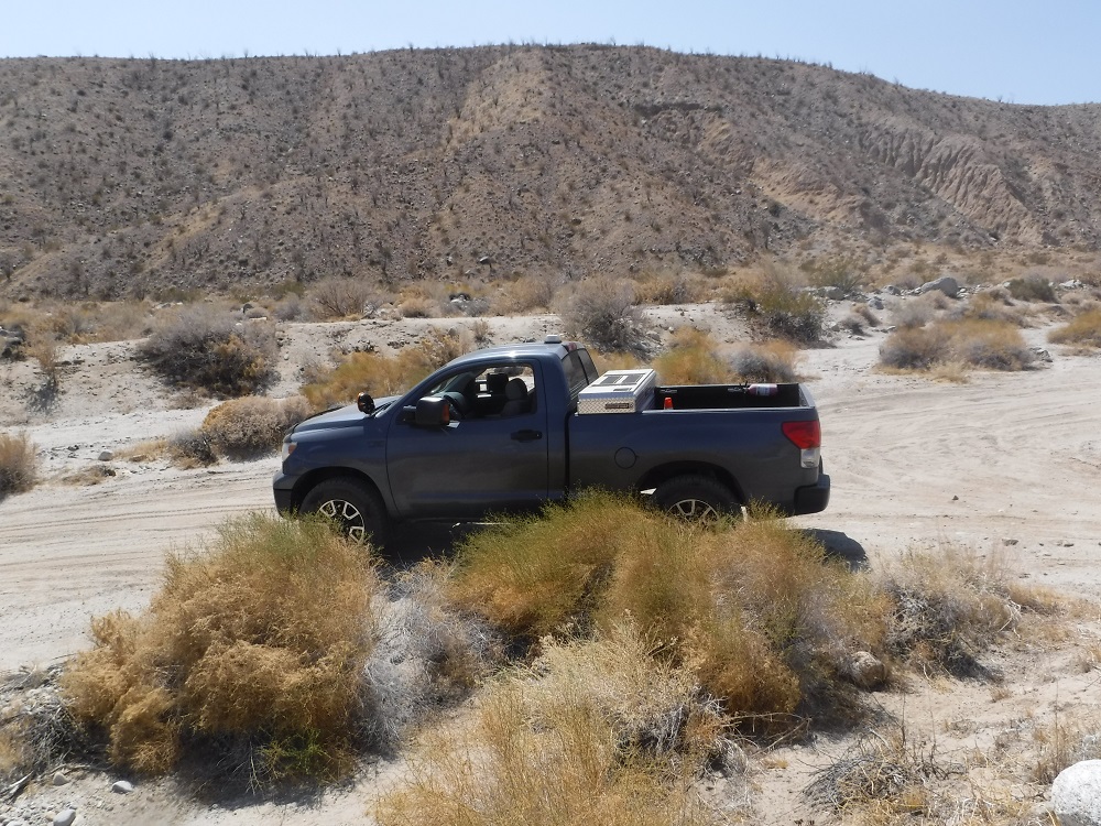
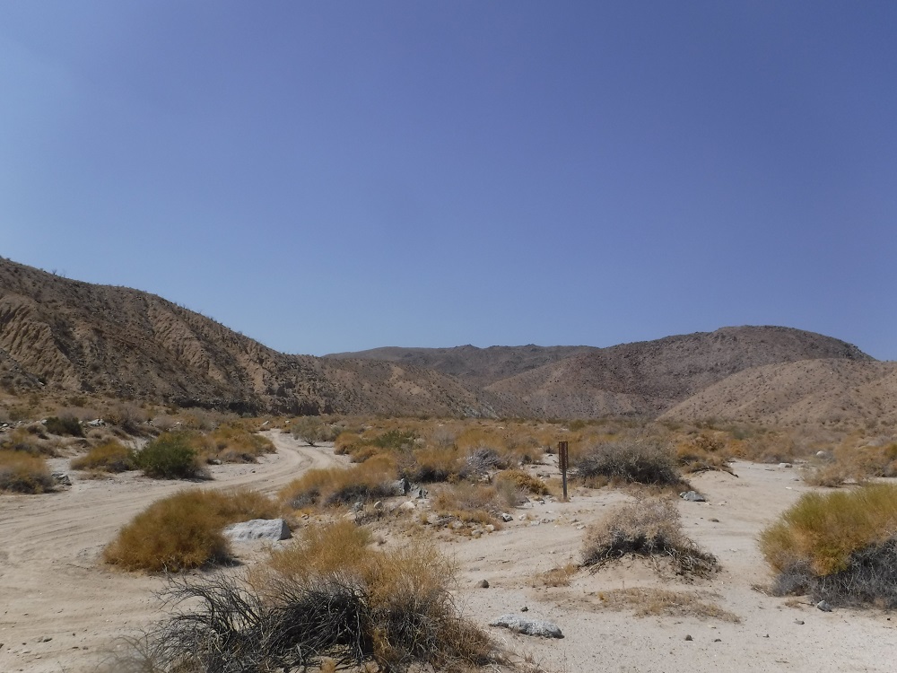
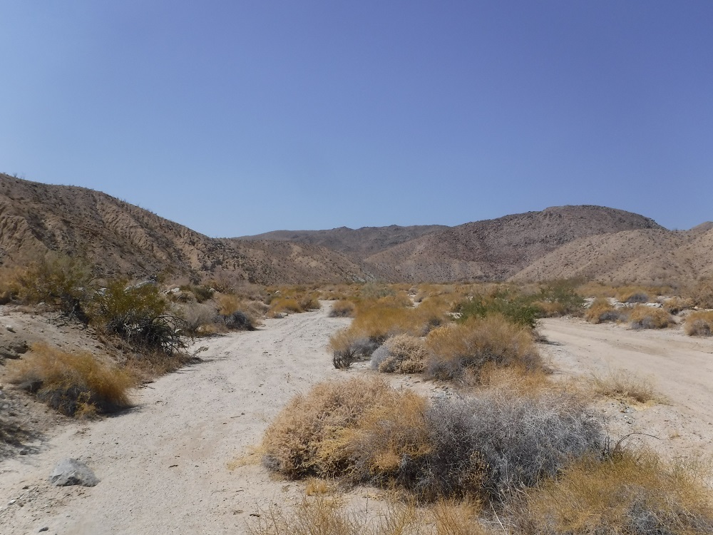
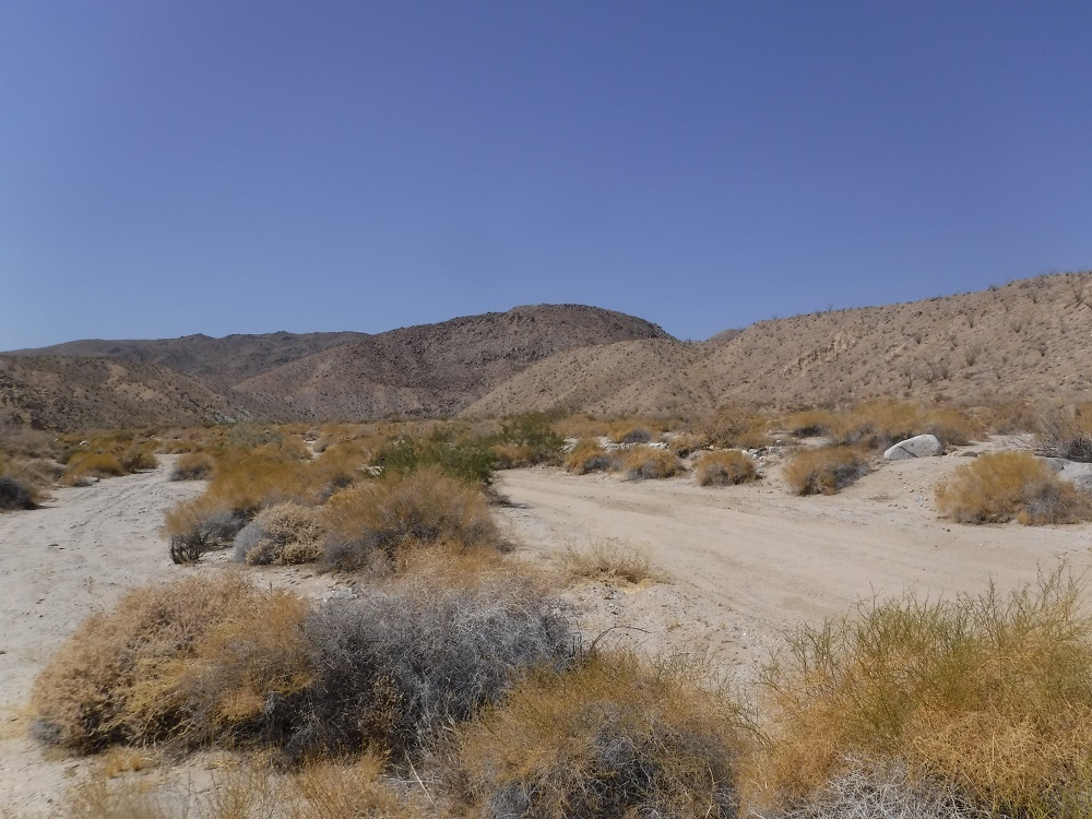
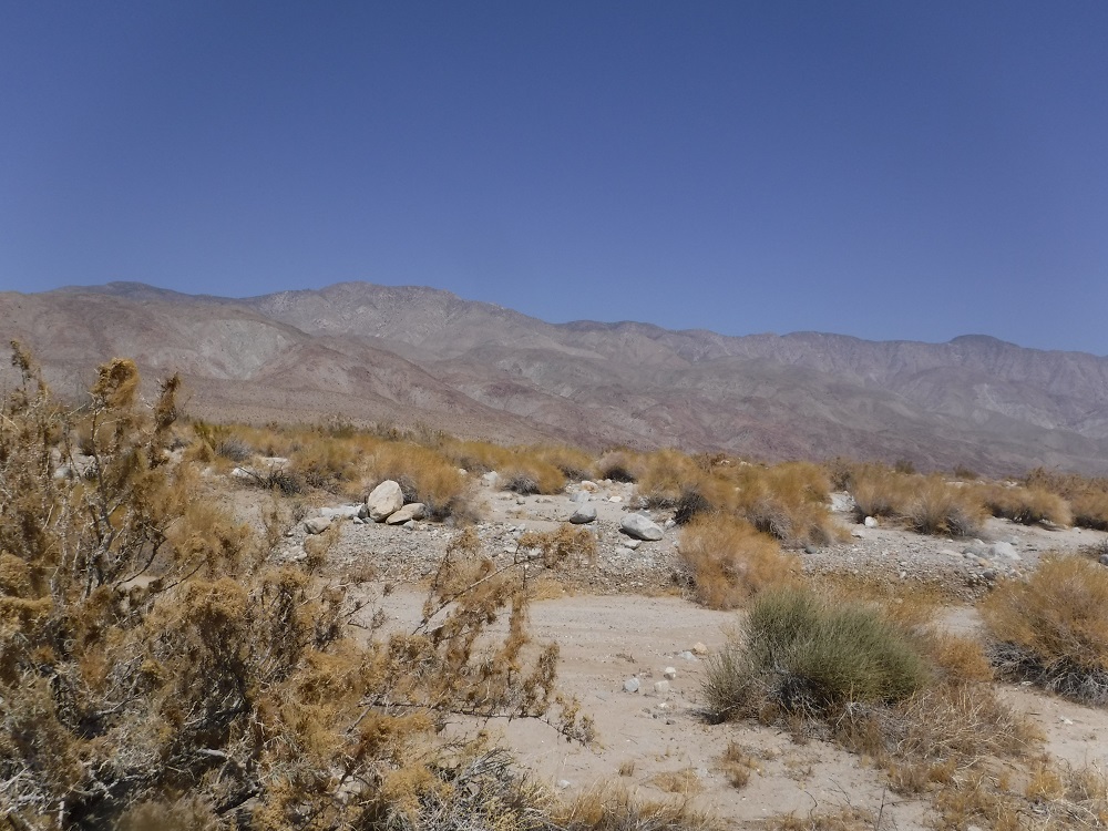
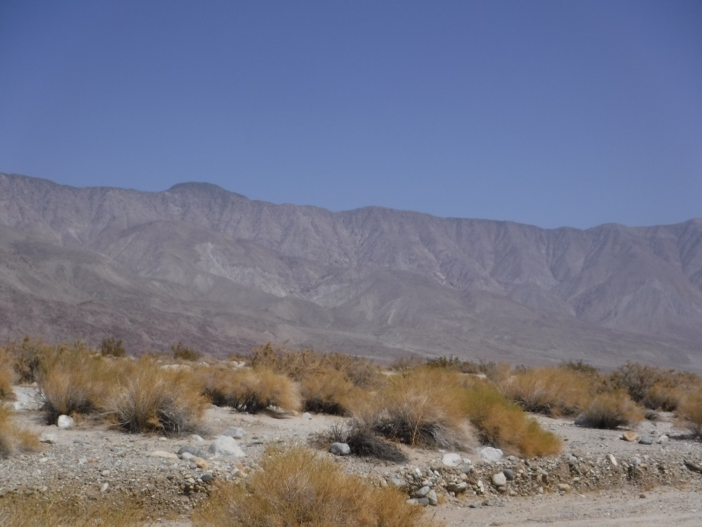
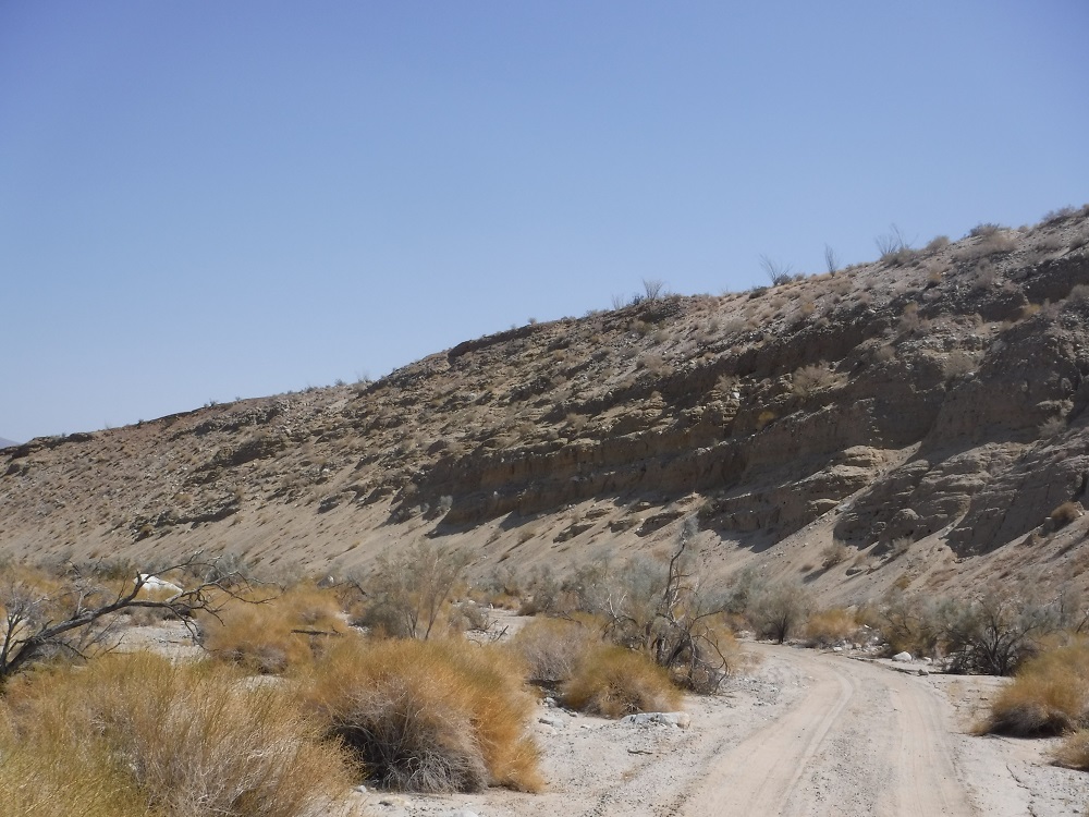
The Rockhouse Trail is an easy route that any 2WD pickup with some ground clearance should be able to complete. At about the 13 mile point the road that ends in Rockhouse Canyon turns into a hiking trail. The trail gets a little rougher past the junction for Butler and Rockhouse Canyons and the end of the motorized portion gradually becomes indistinct from the wash. Clark Valley and Rockhouse Canyon are awesome areas to visit and I’ll have to hike further up to see the rock houses and Santa Rosa Indian ruins at some point. For now, this page will only contain images from the drivable portions of the route. The video shows the trail starting from the northern end as I head south to return to S-22 just a few miles east of Borrego Springs.
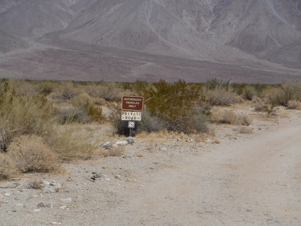
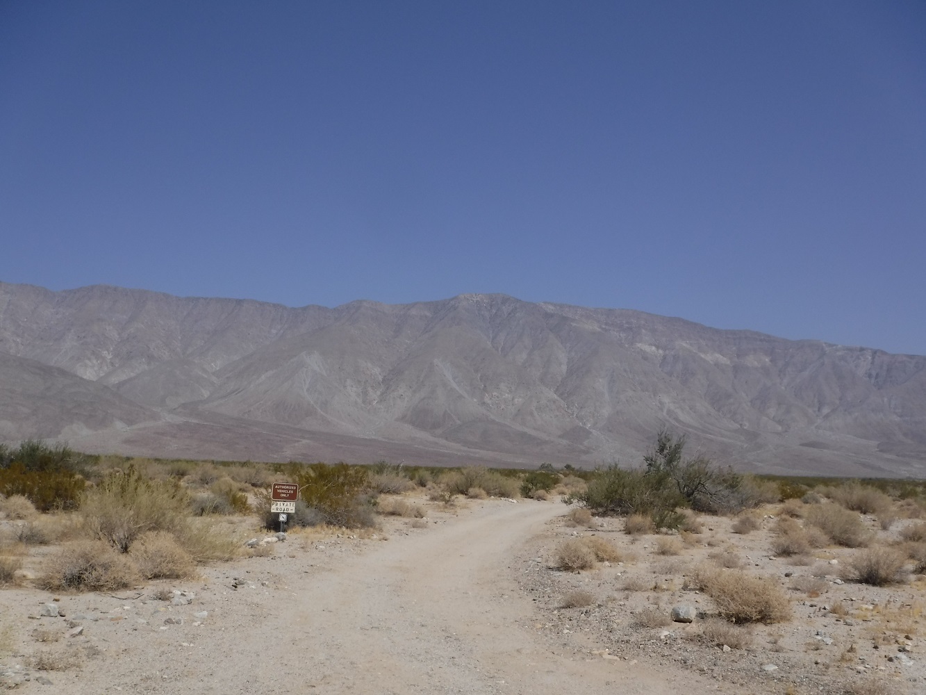
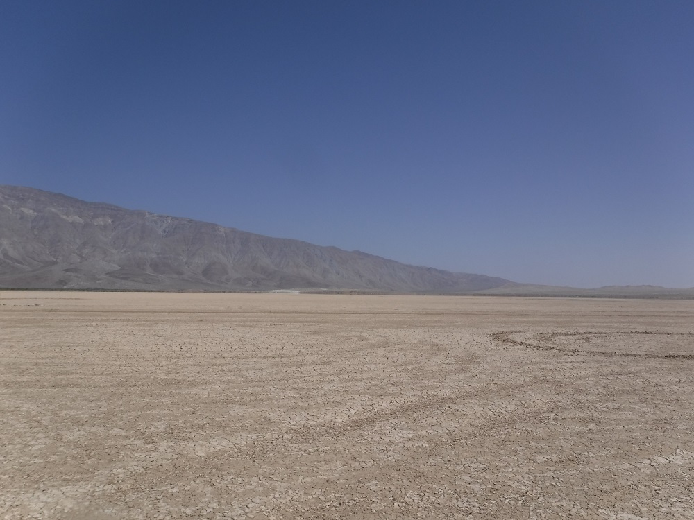
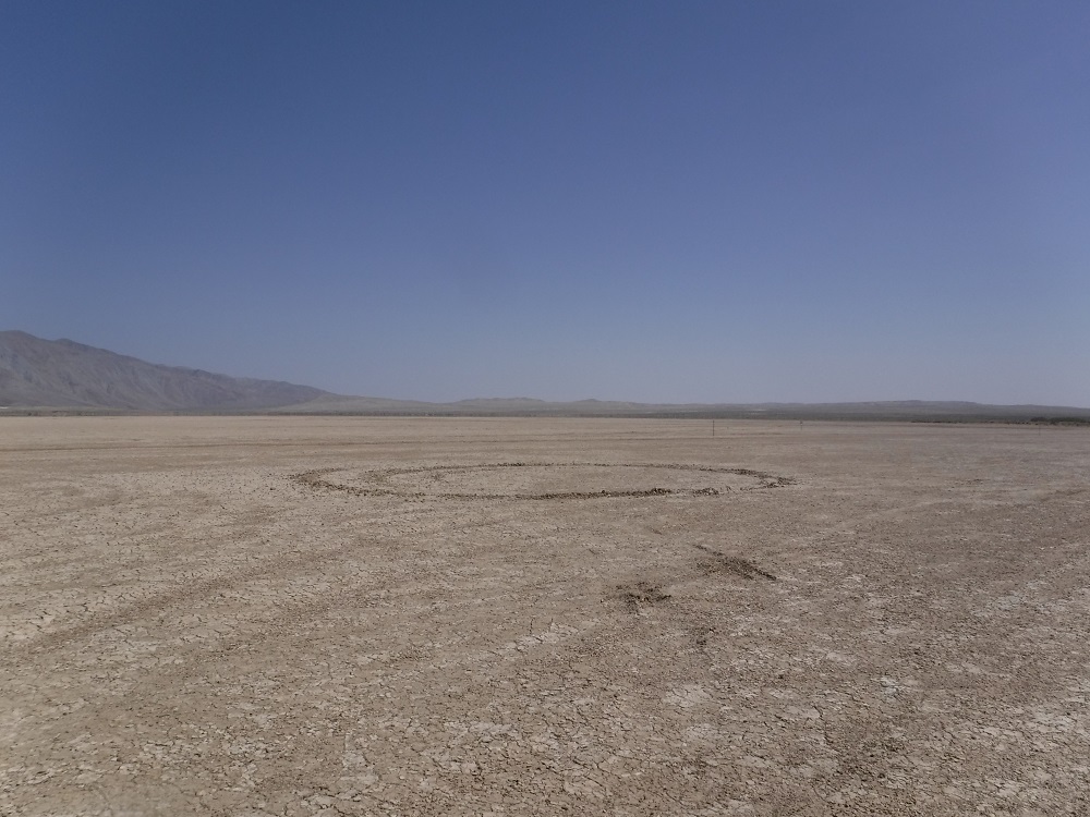
A few miles north of S-22 Clark Dry Lake appears and is not open for vehicle traffic except on the very western edge (numerous signs are posted). The “dry lake” would be a terrible track to drive through after any storm or a wet winter. There are inactive mines and private property around the area that should be avoided by visitors.
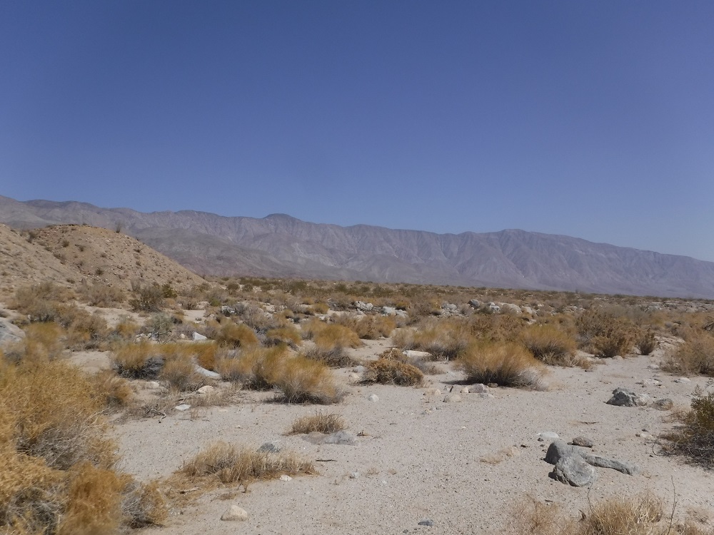
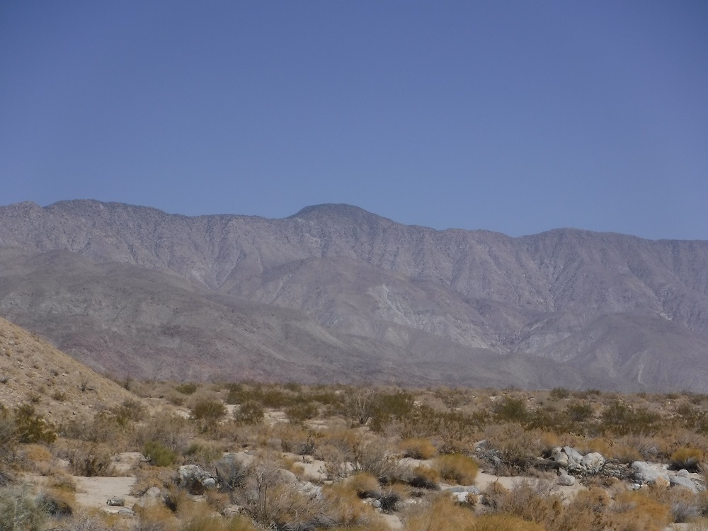
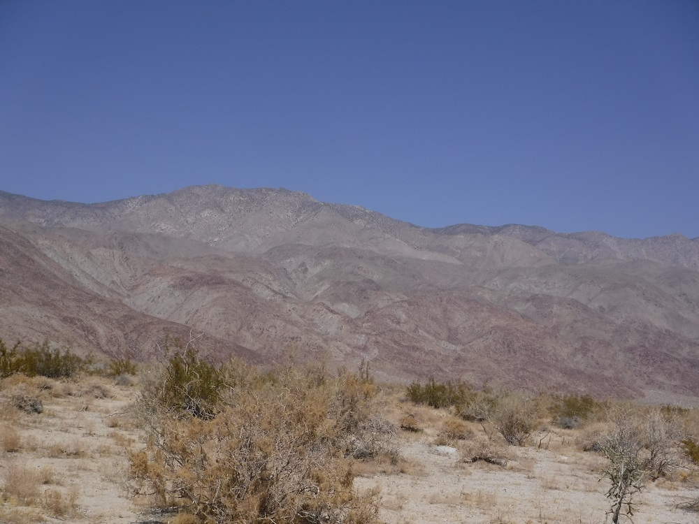
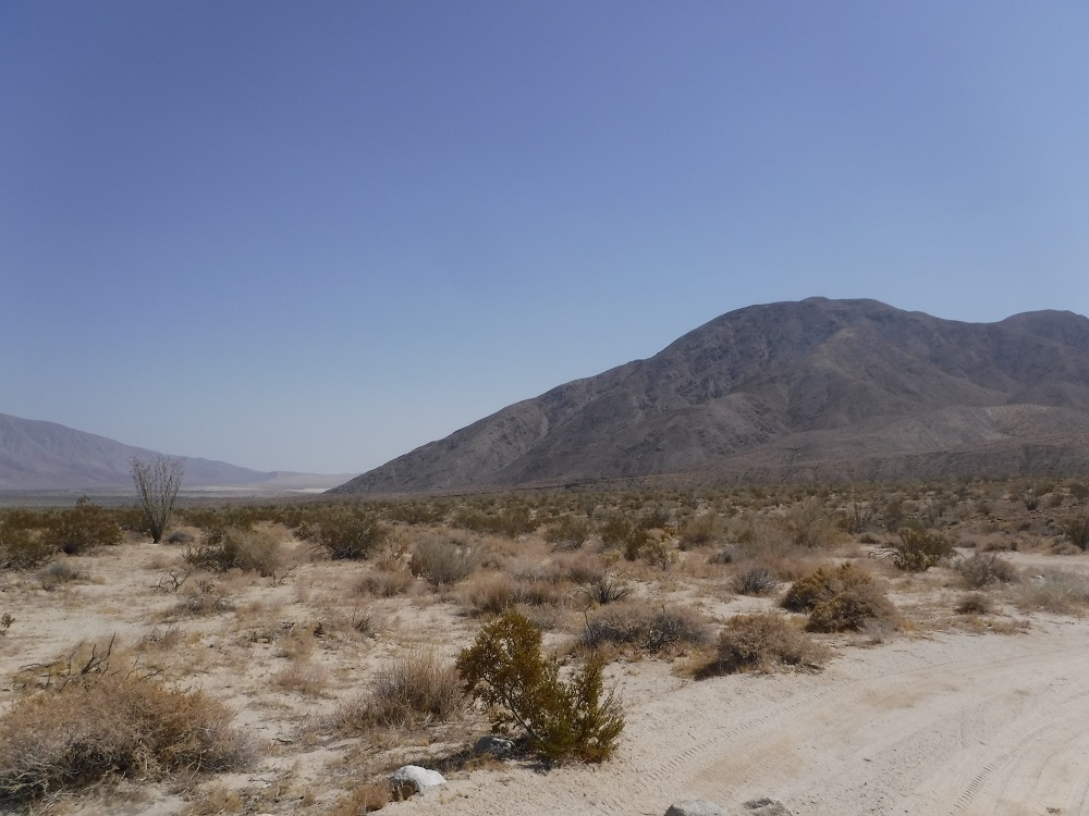
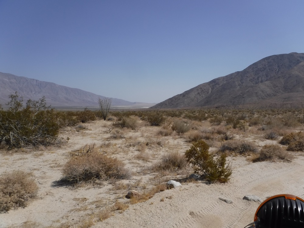
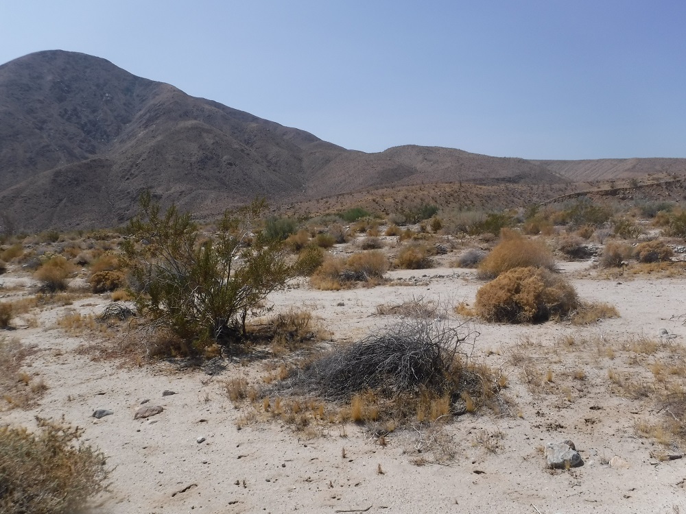
The Rockhouse Trail and Clark Valley are fun to visit and well worth your time. Enjoy all of the photos and videos!
Here’s the Rockhouse Trail starting location: