
Stag Point is in the Foothills of Northern California northeast of Yuba City off of F.S. Highway 120. The actual trail leading to Stag Point is only a few miles long. To reach this trail: head left following signs for the Little Grass Valley Reservoir, continue north, drive over the dam, turn left onto F.S. 94, stay on F.S. 94 until a right turn appears for 22N72, and stay left until the trailhead is reached. The trail quickly gets steep as it descends about 3,000 feet with very tight and narrow switchbacks.
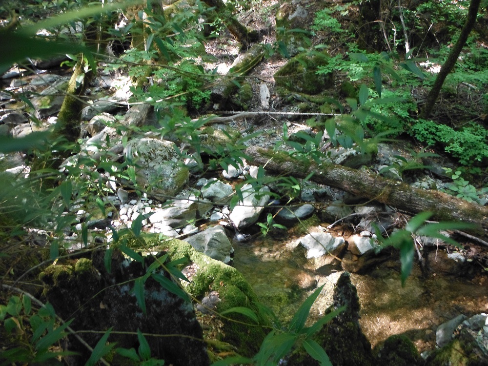
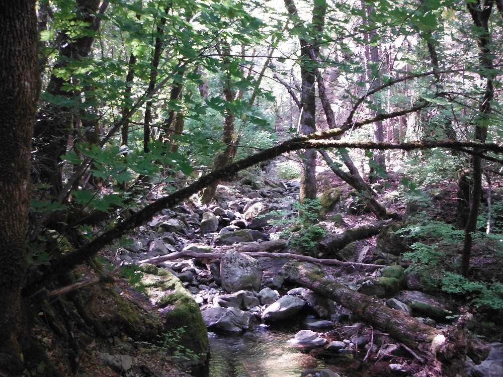
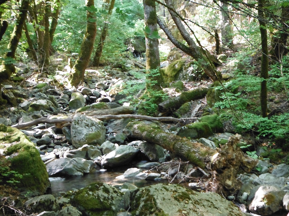
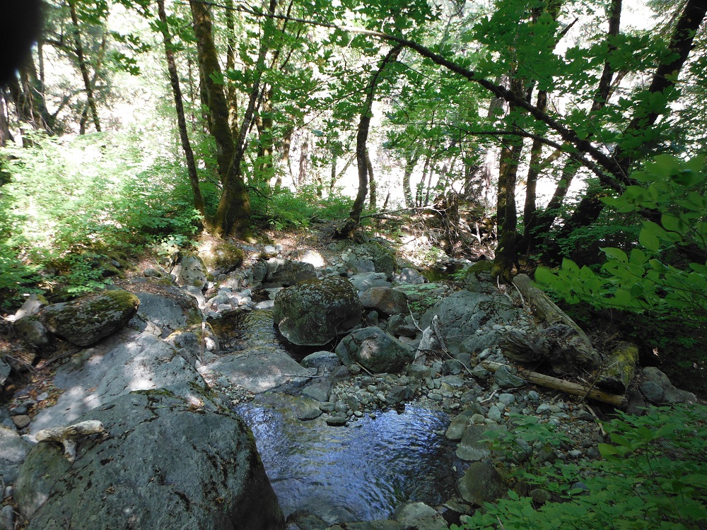
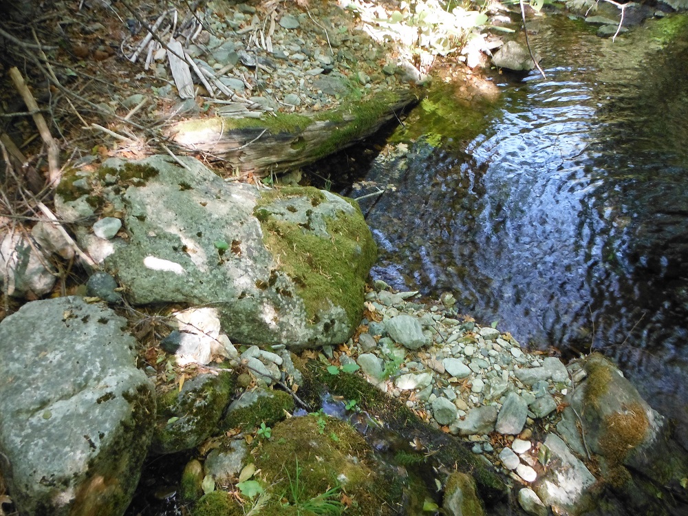
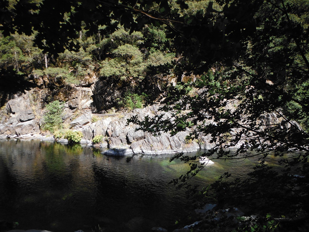
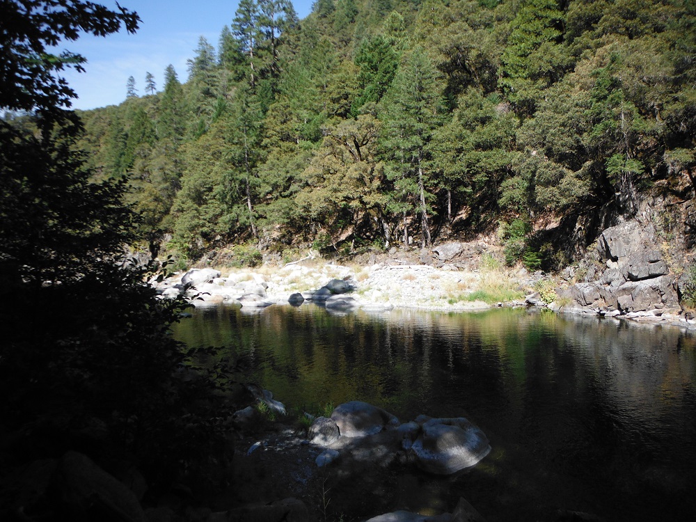
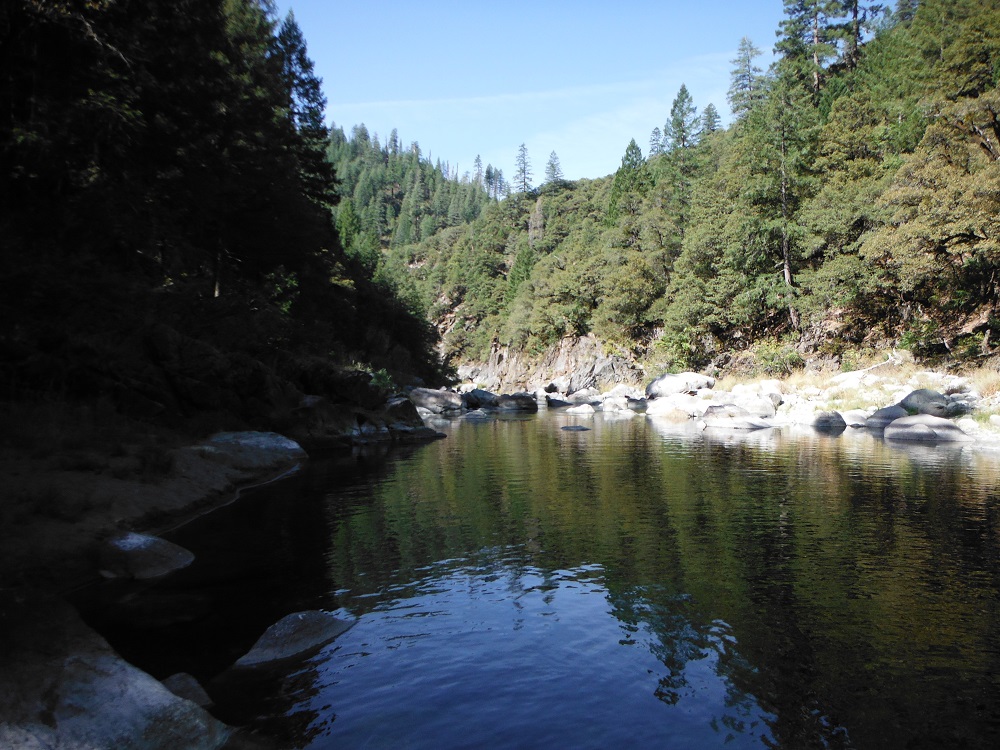
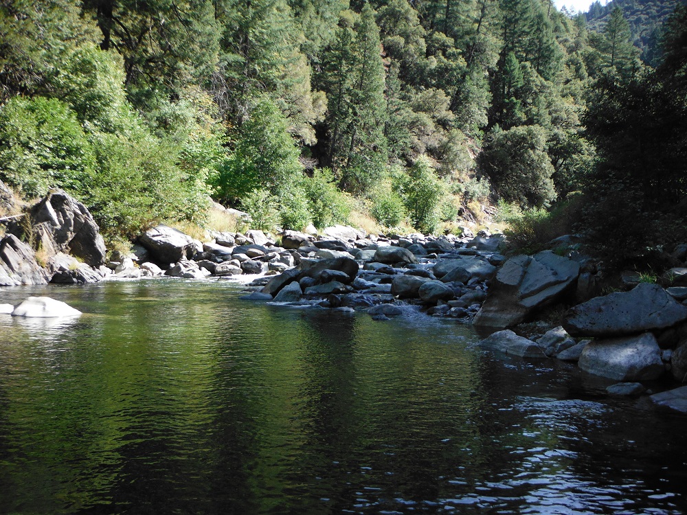
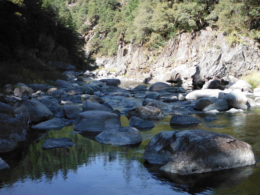
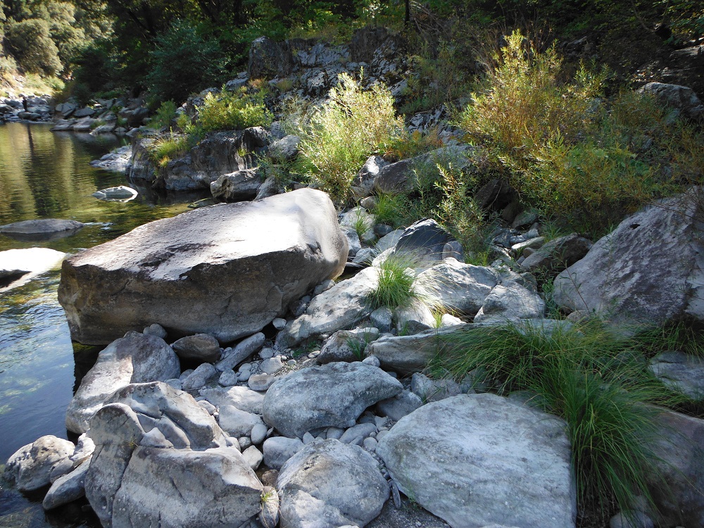
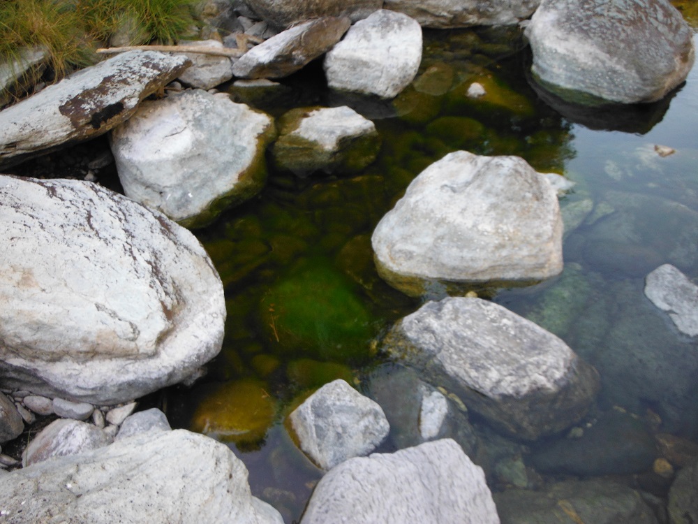
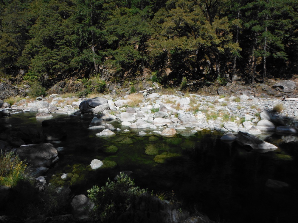
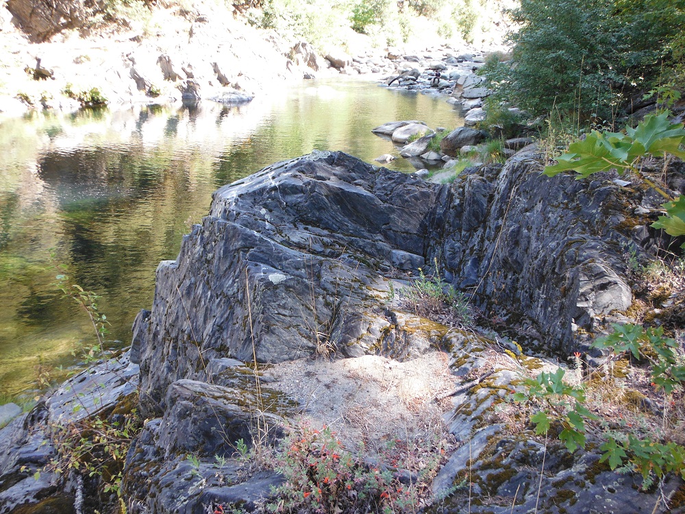
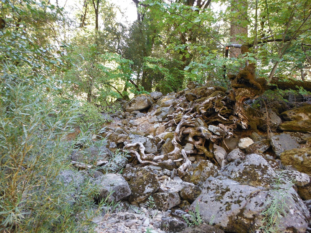
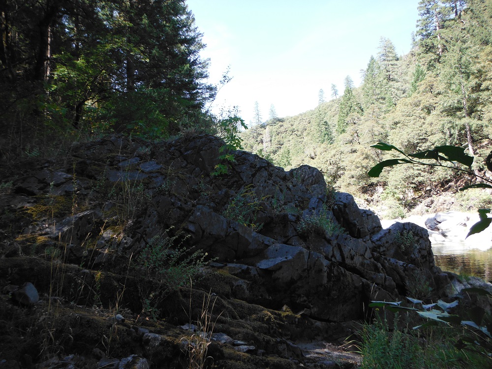
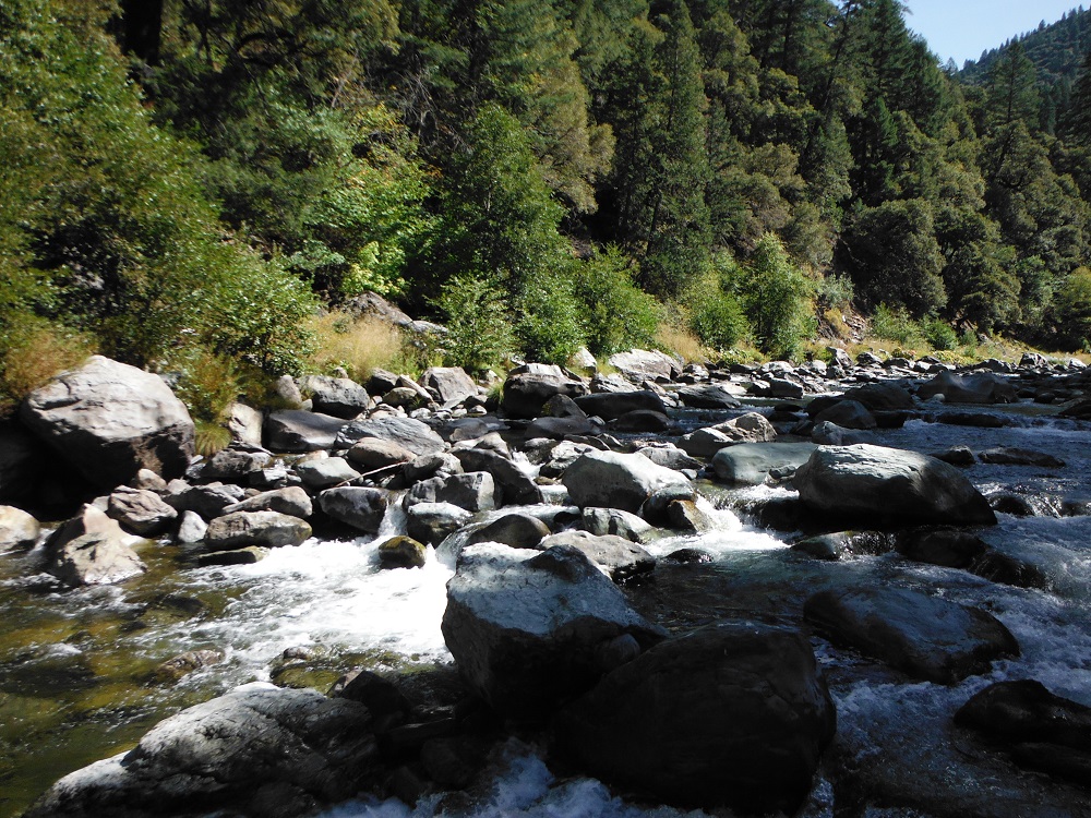
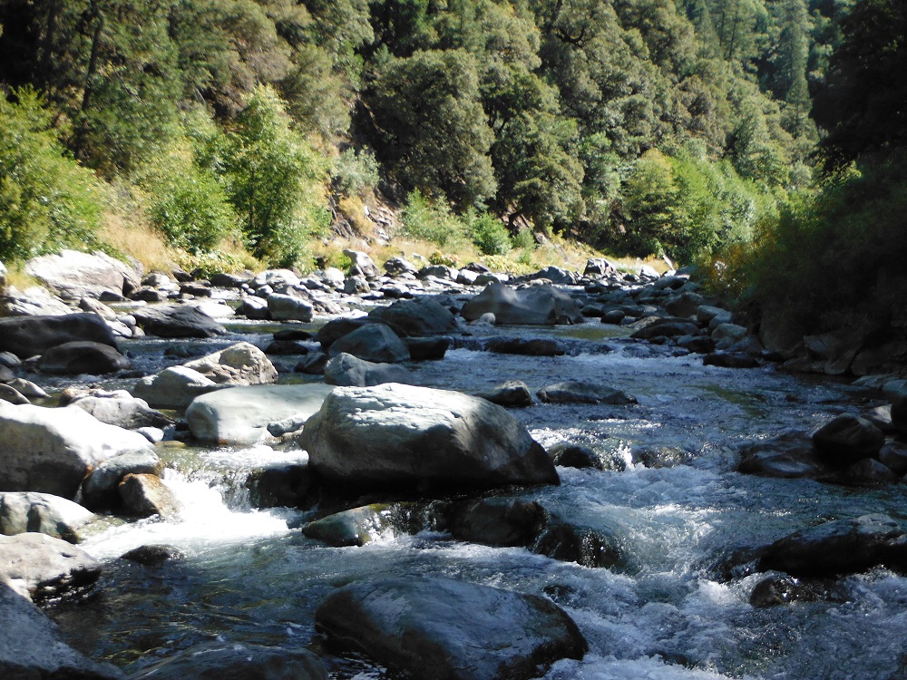
I didn’t take any photos along the trail to Stag Point and forgot to save the video (from my dashboard camera) in time to prevent it from being over-written by proceeding loops. Thus, almost all of the pictures are of the surrounding forest and the Feather River. There are a couple of footpaths leading to the river both to the right and left of the campsite. It would be wise to bring insect repellent. Enjoy the photos!


As a nice bonus, here’s some video from walking in the river:
