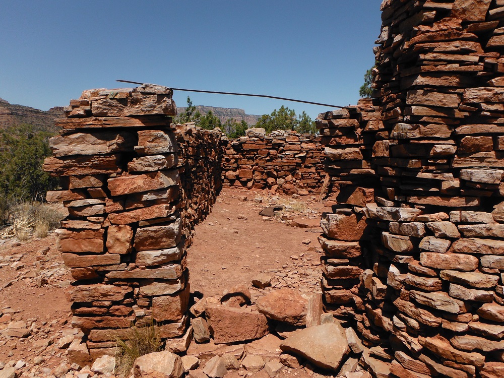
Grandview Point offers stunning views of the Grand Canyon from the southern rim. Grandview Trail also offers incredible views as it winds down the slope to Horseshoe Mesa, or the river if you have what it takes. The hike takes quite a long time and you can never bring too much water on this hike. Down on Horseshoe Mesa are the remnants of the Last Chance Mine which used to extract copper during the early 20th century. Most of the mine shafts have been blocked at the entrance (except for one filled with bats).
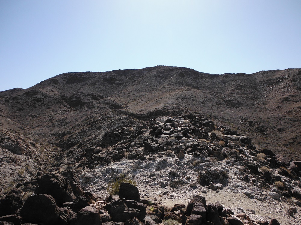
I’ll be posting up some video from trails I went through on the same day I took this video, but for now I’ll just post up about the Mud Caves. In Anza-Borrego Desert State Park there are a large network of caves that you can walk and crawl through. Obviously, they can get dark so don’t forget your flashlight. There’s also a lot of seismic activity in the area so the cliff sides and caves are not a good place to camp out. I traversed a single cave with a small group of friends for about an hour; it would take quite a long time to explore the cave system in detail.
The closest paved road to the Mud Caves is S-2 (reached from the south via I-8 and the north via CA-78), then take Vallecito Creek east, and then head north a few miles along Arroyo Tapaido. During the cooler months of the year there will be a lot of tourists so it’s pretty hard to miss.