Tag: Anza-Borrego

Rockhouse Trail

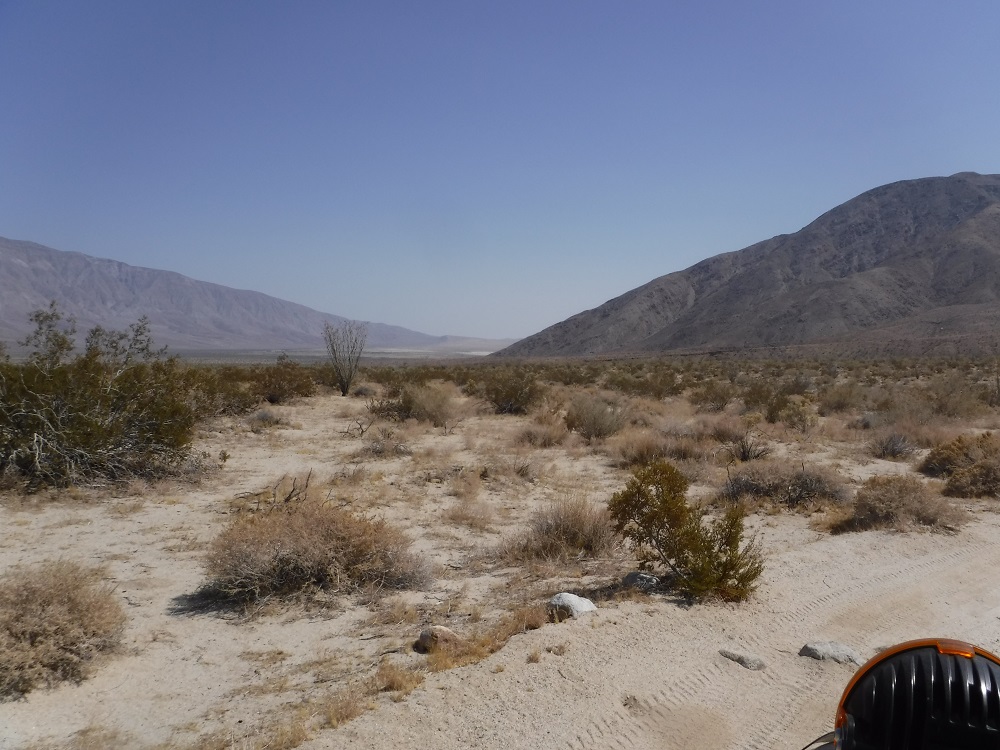
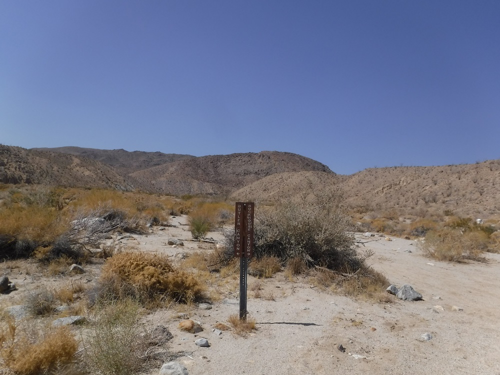
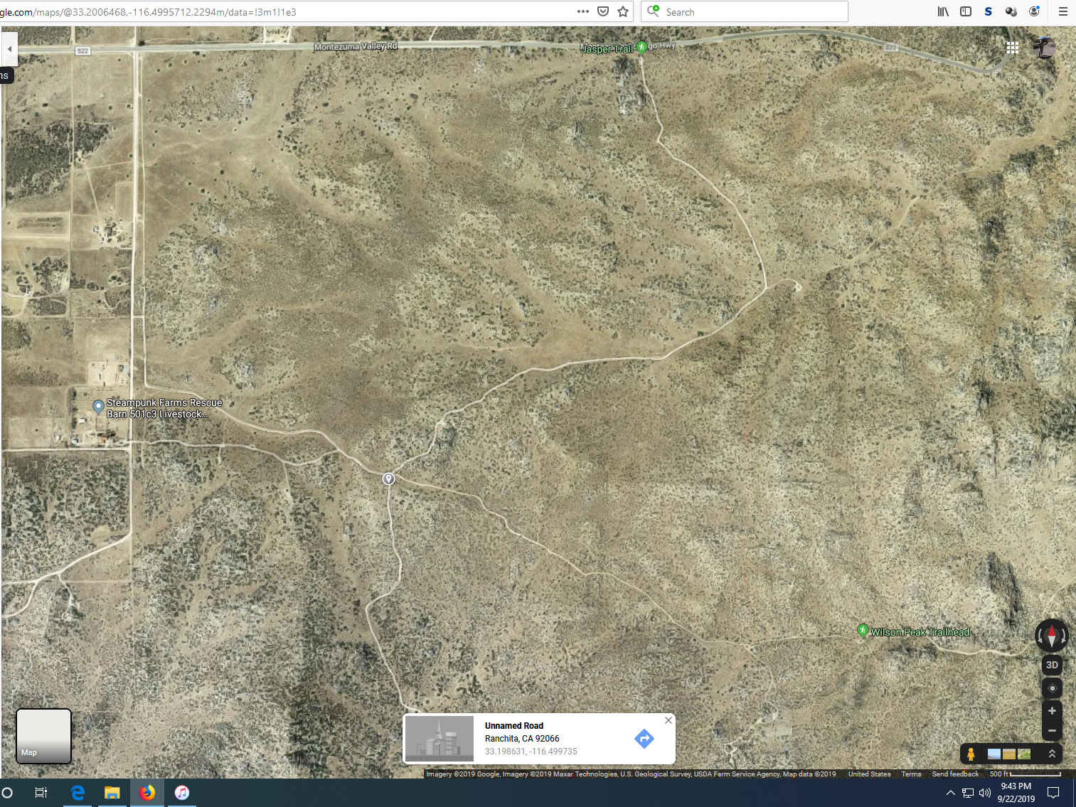
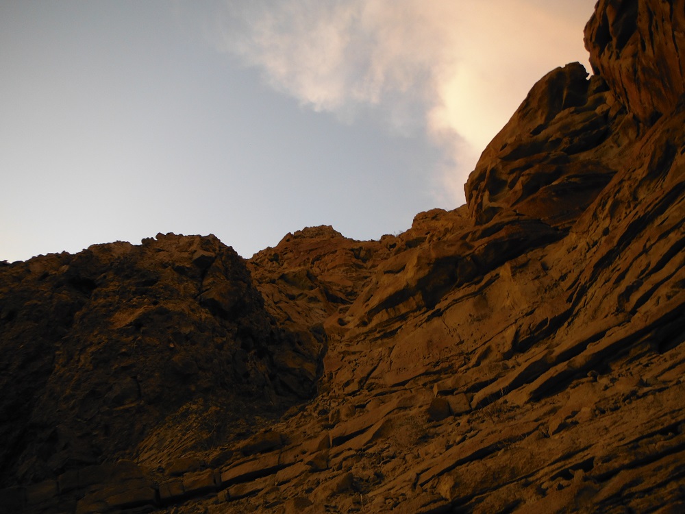
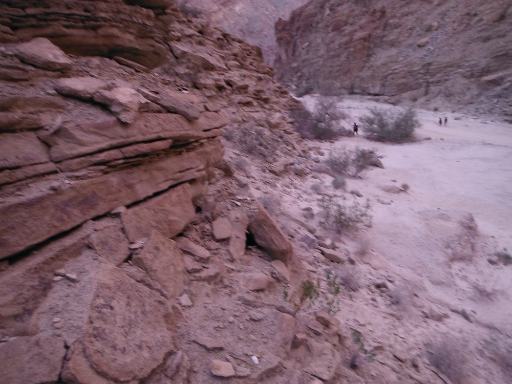
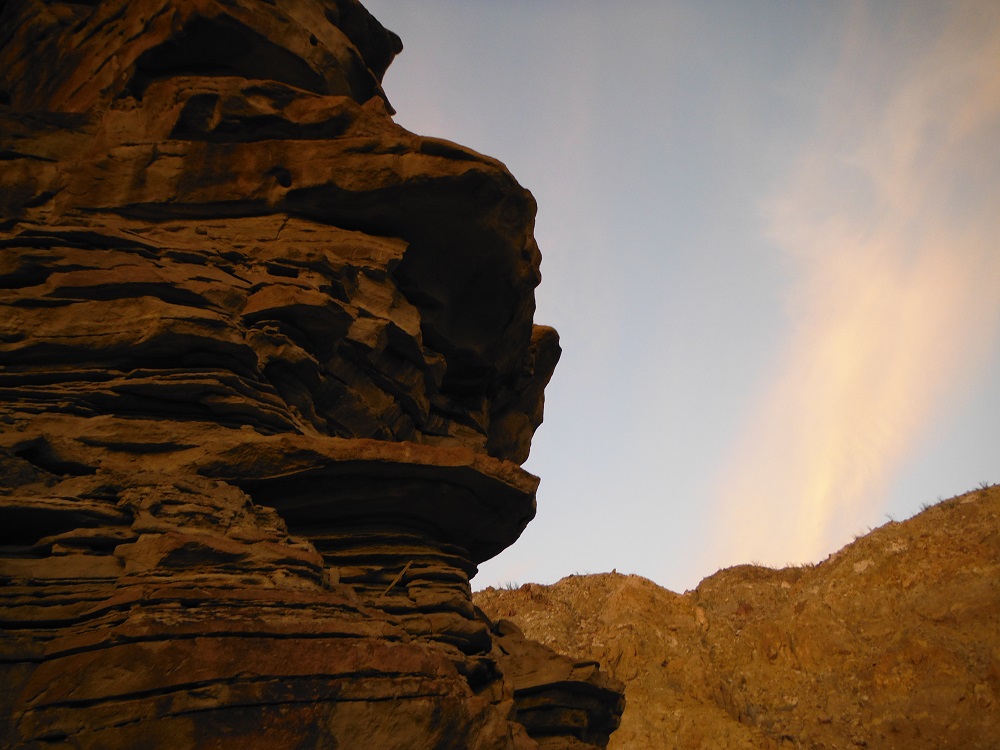
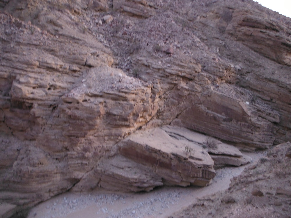
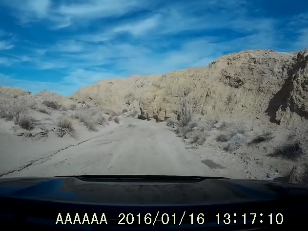
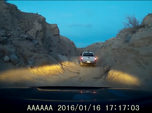
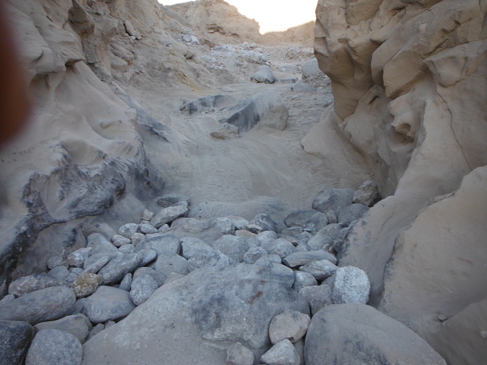
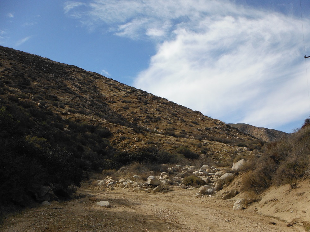
The Rockhouse Trail is an easy route that any 2WD pickup with some ground clearance should be able to complete. At about the 13 mile point the road that ends in Rockhouse Canyon turns into a hiking trail. The trail gets a little rougher past the junction for Butler and Rockhouse Canyons and the end of the motorized portion gradually becomes indistinct from the wash. Clark Valley and Rockhouse Canyon are awesome areas to visit and I’ll have to hike further up to see the rock houses and Santa Rosa Indian ruins at some point. For now, this page will only contain images from the drivable portions of the route. The video shows the trail starting from the northern end as I head south to return to S-22 just a few miles east of Borrego Springs. Be sure to look for the rest of the details, photos, and videos here on the dedicated page and enjoy!

Rodriguez Canyon Redux

Several years ago I wrote a post about Rodriguez Canyon, an easy trail in eastern San Diego County just south of Banner Grade along CA-78. I recently went back again and recorded some much better video along with going out after a very wet Winter and Spring for San Diego. Snow had recently fallen on the mountains just to the west of Rodriguez Canyon and the trail was wet without dust clouds forming as I passed along. Any 2WD truck with decent ground clearance will normally be able to make it through this trail. Enjoy the photos and videos and find all of them here on the dedicated page!

Northern trail end:

rodriguez_north

Southern trail end (The trail does continue for highway-legal vehicles to S-2 in spite of what Google Maps shows.):

rodriguez_south


Culp Valley Road

Culp Valley Road is an easy trail with no significant obstacles to note that any truck with some ground clearance should be able to pass through. The western end of this trail starts in Ranchita at Old Wilson Valley Road and heads east where it ends at S-22. This road passes through the transition zone between the mountains (~4000 ft) and desert floor near Borrego Springs. According to Google Maps this road doesn’t exist but if you’re going out to this area you should really have some good maps (if you’re frugal like me) or a SD card loaded up with some trail data for your Lowrance GPS unit (if you’re a big spender). The eastern edge of this trail passes through the Paroli Homestead (of which not much remains), a long abandoned ranch that a family was able to eek out a survival on for a few years. Enjoy the photos and videos and look for the rest of them here on the dedicated page!

Western starting location

culp_west

Culp Valley Cultural Preserve (PDF)

A Cahuilla Village in the Boulders of an Upland Valley


Kwaaymii Point

Kwaaymii Point lies along the Pacific Crest Trail and just to the east of Sunrise Highway (S-1). The vast views of the Anza-Borrego Desert are stupendous from this vista point and must be seen to be believed! I took this short little trip on Christmas Day and it happened to be snowing and quite cold. It was a veritable Winter Wonderland while I happened to be in the area. I didn’t go for a long hike here so there isn’t too much more for me to type up except for this: enjoy the photos and find the rest of them here on the full page!

Location

kwaaymii


Vallecito Wash: Motorhome Wreckovery

Sometimes I am surprised and amazed by the vehicles I see leave pavement for the desert and am pleasantly surprised. Other times I chuckle a little and can yank someone out of a bad situation or drag their disabled vehicle to a better place. Then there are times where I am simply dumbfounded by what I encounter. I thought that I was going to end a nice day of driving through some easy trails and hiking with one last jaunt off-road and found a class A motorhome attempting to make its way back to civilization. It ended up being a long night for me and an even longer next day for the wayward travelers…

Fish Creek

I’ve documented an off-road jaunt through the Diablo Dropoff and Fish Creek already but this time I got more video. I started this trail about an hour before sunset so I actually have some video going all the way to the Wind Caves now. The first mile and a half after the Diablo Dropoff is tight and rocky with everything after that being pretty tame. Enjoy the videos!

fishpoint

The Wind Caves

The Wind Caves are in the eastern end of Anza-Borrego Desert State Park along Fish Creek. The closest paved road is Split Mountain Road just a few miles to the east. For detailed directions and trail descriptions look to my page on the Diablo Dropoff and Fish Creek. Most any vehicle should be able to reach the Wind Caves from the eastern end, provided you drive slowly and carefully. The geological formations in this area are simply mesmerizing. I’ll have to take some more photos of the area in the future but for now look for them on this page. Enjoy!

windcave

DSCF6723   DSCF6739   DSCF6721   DSCF6718

DSCF6705  DSCF6701    DSCF6700   DSCF6697

Vallecito Creek, Arroyo Seco, and the Diablo Dropoff.

Vallecito Creek is just one of the many washes that pass through Anza-Borrego. It can be reached from the west via S-2 and is about 20 miles north of I-8. It can also reached from the east via the many trails that connect to it. Vallecito Creek heads east and reaches Arroyo Tapaido. Arroyo Tapaido either heads north to a dead end or loops back around south to reach Arroyo Seco del Diablo. The Diablo Dropoff and Fish Creek jut off to the east and eventually lead you towards Split Mountain Road and Ocotillo Wells. I didn’t take any separate photos of some of these trails but rather just took screenshots of the video to give you an quick idea of the environment. Look for all of the corresponding videos and pictures in the links below. Enjoy!

Vallecito Creek

Arroyo Seco del Diablo

The Diablo Dropoff and Fish Creek

diablopoint  fishpoint

Vallecito_4 Vallecito_2 Diablo Diablo_3

DSCF2656
It can get narrow…


Anza-Borrego Mud Caves

I’ll be posting up some video from trails I went through on the same day I took this video, but for now I’ll just post up about the Mud Caves. In Anza-Borrego Desert State Park there are a large network of caves that you can walk and crawl through. Obviously, they can get dark so don’t forget your flashlight. There’s also a lot of seismic activity in the area so the cliff sides and caves are not a good place to camp out. I traversed a single cave with a small group of friends for about an hour; it would take quite a long time to explore the cave system in detail.

The closest paved road to the Mud Caves is S-2 (reached from the south via I-8 and the north via CA-78), then take Vallecito Creek east, and then head north a few miles along Arroyo Tapaido. During the cooler months of the year there will be a lot of tourists so it’s pretty hard to miss.

map

If you’re not into four-wheeling like I am this is another fun activity you can enjoy in the desert. There really is a lot of beauty (and life in some spots) in the desert. Enjoy the photos and video footage; find the rest of it here!

DSCF6442 DSCF6453 DSCF6460 DSCF6464DSCF6481 DSCF6451

Rodriguez Canyon

Rodriguez Canyon is an easy trail southeast of Julian, CA. Rodriguez Canyon can be accessed from the northern end from CA-78 at the end of Banner Grade or from the south along S-2 (north of mile post 27). Rodriguez Canyon runs to the parallel and to the eastern side of Oriflamme Canyon. This trail is of slightly moderate difficulty; any good truck or 4×4 with some ground clearance will make it through with no problem. At the time I went through there was no snow though it is possible for some to accumulate. There are a number of private roads and land around the area so be careful not to trespass. Enjoy the photos and video footage and look for the rest of them here! I’ve also started a build page for the Toyota Tundra that I recently purchased for any who are curious.

DSCF6256 DSCF6261 DSCF6294 DSCF6314 DSCF6318 DSCF6319 DSCF6343

DSCF6356