Stag Point is in the Foothills of Northern California northeast of Yuba City off of F.S. Highway 120. The actual trail leading to Stag Point is only a few miles long. To reach this trail: head left following signs for the Little Grass Valley Reservoir, continue north, drive over the dam, turn left onto F.S. 94, stay on F.S. 94 until a right turn appears for 22N72, and stay left until the trailhead is reached. The trail quickly gets steep as it descends about 3,000 feet with tight and narrow switchbacks.
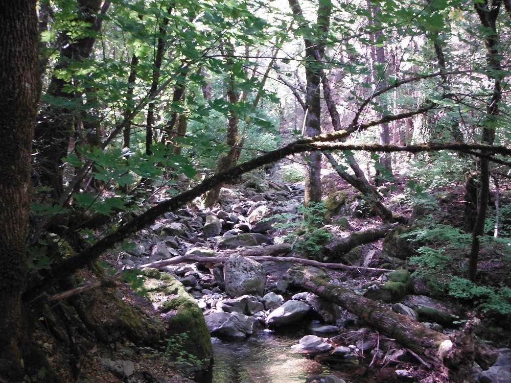
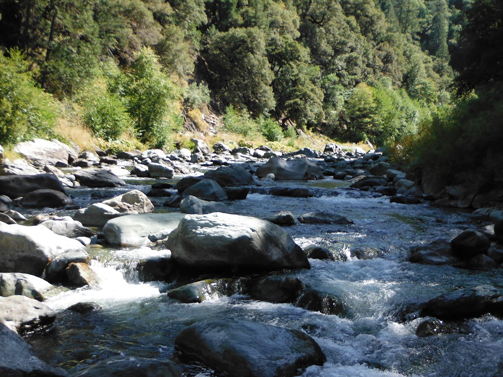
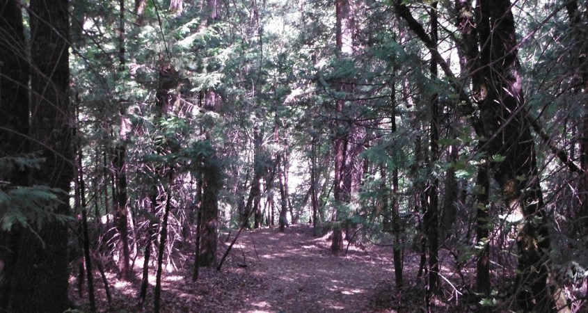
I didn’t take any photos along the trail to Stag Point and forgot to save the video (from my dashboard camera) in time to prevent it from being over-written by proceeding loops. There are a couple of footpaths leading to the river both to the right and left of the campsite. It would be wise to bring insect repellent. Enjoy the photos! Click here to find the rest of them.