Tag: Tundra

The Wind Caves

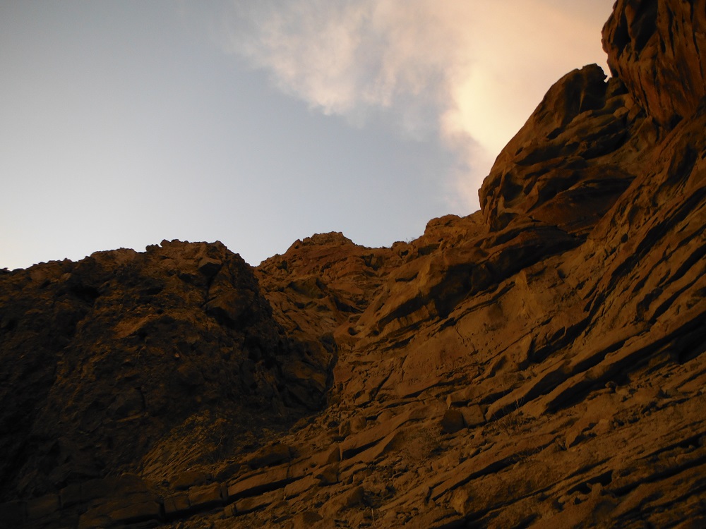
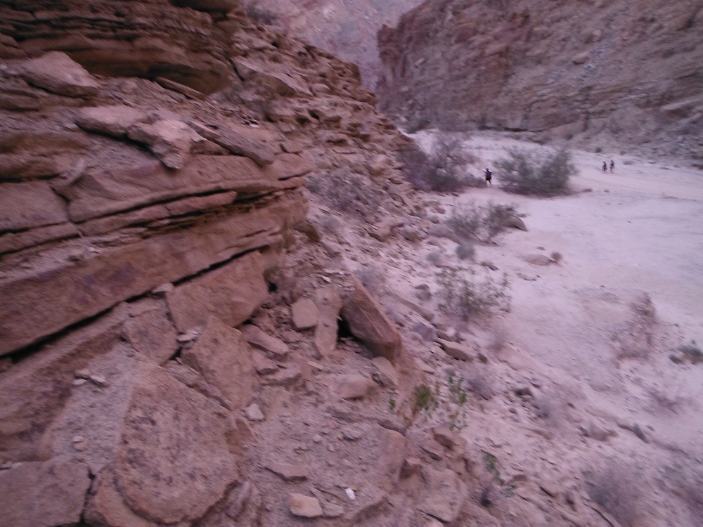
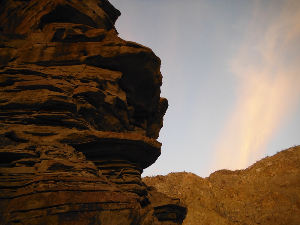
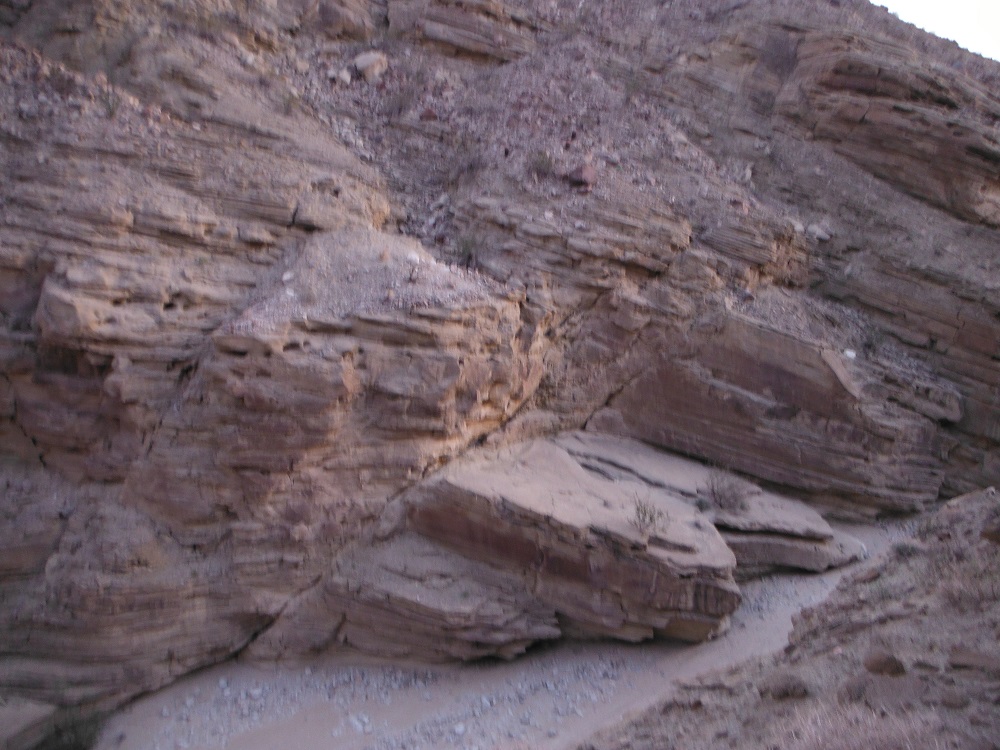
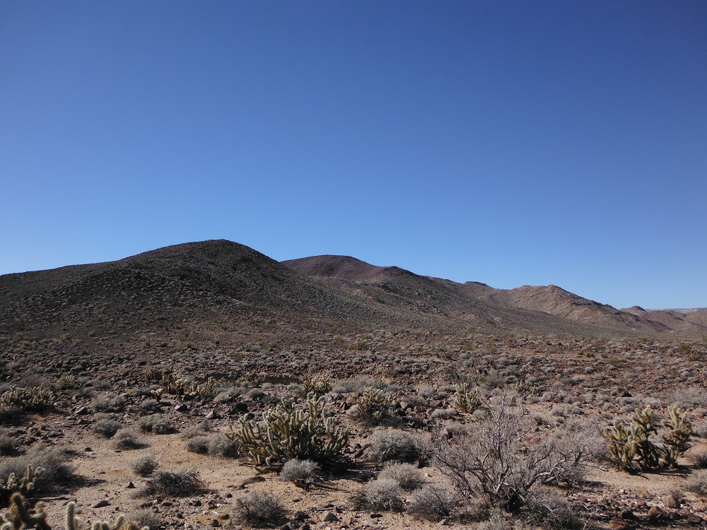
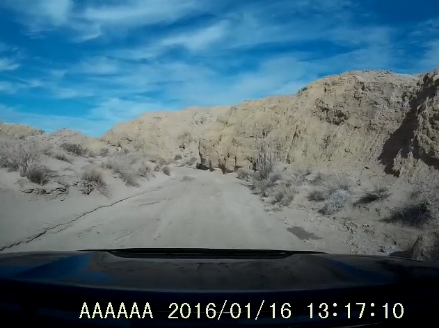
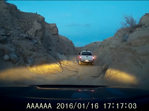
The Wind Caves are in the eastern end of Anza-Borrego Desert State Park along Fish Creek. The closest paved road is Split Mountain Road just a few miles to the east. For detailed directions and trail descriptions look to my page on the Diablo Dropoff and Fish Creek. Most any vehicle should be able to reach the Wind Caves from the eastern end, provided you drive slowly and carefully. The geological formations in this area are simply mesmerizing. I’ll have to take some more photos of the area in the future but for now look for them on this page. Enjoy!

windcave

DSCF6723   DSCF6739   DSCF6721   DSCF6718

DSCF6705  DSCF6701    DSCF6700   DSCF6697

EC 119, 158, and West Mortero Wash

EC 119 (also known as Dos Cabezas Road) is one of the many trails winding through Anza-Borrego Desert State Park. I-8 or CA-78 can be used to reach S-2 which is the nearest paved road. The junction between I-8 and S-2 is about four miles to the southeast of where this trail begins. The San Diego and Arizona Eastern Railway runs along this trail and there’s even an abandoned rail station along the route. EC 158 branches off of EC 119 and heads back east to S-2. The views of the desert, mountains, and gorges are simply stunning. Be wary of illegal immigrants and smugglers; do not go hiking along the tracks.

Location

doscabezos

EC 119

DSCF1008 DSCF1013 DSCF1015 DSCF1018 DSCF6534 DSCF6549 DSCF6553 DSCF6557

West Mortero Wash

Find the rest of the photos and video footage here. Enjoy!

Note: Sometimes, the truck doesn’t come out unscathed.

DSCF6622 DSCF6623   DSCF6624

Vallecito Creek, Arroyo Seco, and the Diablo Dropoff.

Vallecito Creek is just one of the many washes that pass through Anza-Borrego. It can be reached from the west via S-2 and is about 20 miles north of I-8. It can also reached from the east via the many trails that connect to it. Vallecito Creek heads east and reaches Arroyo Tapaido. Arroyo Tapaido either heads north to a dead end or loops back around south to reach Arroyo Seco del Diablo. The Diablo Dropoff and Fish Creek jut off to the east and eventually lead you towards Split Mountain Road and Ocotillo Wells. I didn’t take any separate photos of some of these trails but rather just took screenshots of the video to give you an quick idea of the environment. Look for all of the corresponding videos and pictures in the links below. Enjoy!

Vallecito Creek

Arroyo Seco del Diablo

The Diablo Dropoff and Fish Creek

diablopoint  fishpoint

Vallecito_4 Vallecito_2 Diablo Diablo_3

DSCF2656
It can get narrow…


Rodriguez Canyon

Rodriguez Canyon is an easy trail southeast of Julian, CA. Rodriguez Canyon can be accessed from the northern end from CA-78 at the end of Banner Grade or from the south along S-2 (north of mile post 27). Rodriguez Canyon runs to the parallel and to the eastern side of Oriflamme Canyon. This trail is of slightly moderate difficulty; any good truck or 4×4 with some ground clearance will make it through with no problem. At the time I went through there was no snow though it is possible for some to accumulate. There are a number of private roads and land around the area so be careful not to trespass. Enjoy the photos and video footage and look for the rest of them here! I’ve also started a build page for the Toyota Tundra that I recently purchased for any who are curious.

DSCF6256 DSCF6261 DSCF6294 DSCF6314 DSCF6318 DSCF6319 DSCF6343

DSCF6356