

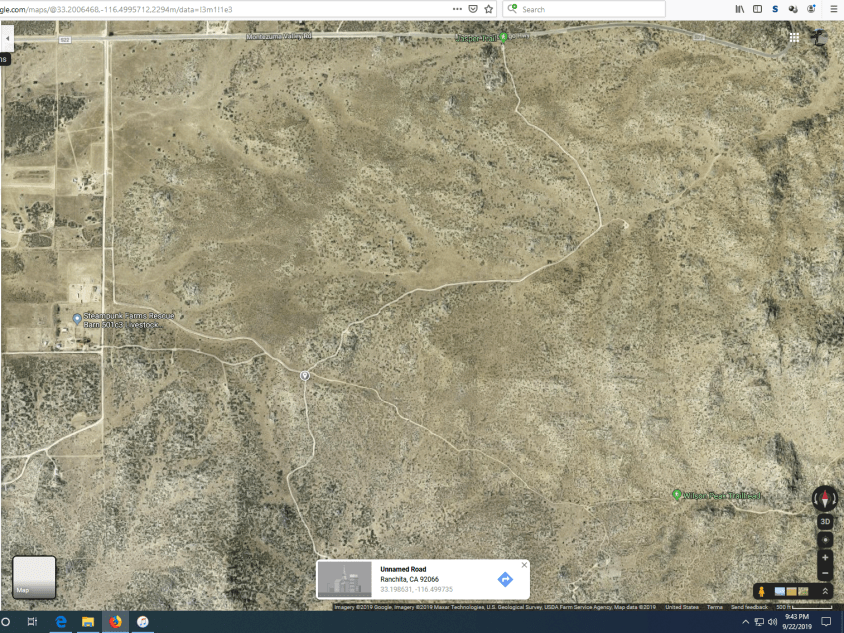
Culp Valley Road is an easy trail with no significant obstacles to note that any truck with some ground clearance should be able to pass through. The western end of this trail starts in Ranchita at Old Wilson Valley Road and heads east where it ends at S-22. This road passes through the transition zone between the mountains (~4000 ft) and desert floor near Borrego Springs. According to Google Maps this road doesn’t exist but if you’re going out to this area you should really have some good maps (if you’re frugal like me) or a SD card loaded up with some trail data for your Lowrance GPS unit (if you’re a big spender). The eastern edge of this trail passes through the Paroli Homestead (of which not much remains), a long abandoned ranch that a family was able to eek out a survival on for a few years. Enjoy the photos and videos and look for the rest of them here on the dedicated page!
Culp Valley Cultural Preserve (PDF)
A Cahuilla Village in the Boulders of an Upland Valley


