Hello everybody, once again I’m posting up some videos of a few short drives through Guam and its wonderful landscape. Turner Road breaks off from Route 6 near the top of Nimitz Hill and allows you to see both sides of the island very easily. The dirt road at the end offers access to numerous mud-bog trails, biking and hiking trails, and stunning vista points from the center of the isle of Guam. I have to leave the island soon and can no longer afford to get my truck dirty but I may take some more pictures of the area from a few bike rides. Enjoy!
Sometimes I just wish that my truck had some Super Swampers on it…
This posts just has a few videos of me driving up and down Nimitz Hill to get some breathtaking views of the center of the isle of Guam. In the first video I head from north to south and in the second video I have a good spot to pull off the road and really show off what you can observe. Enjoy!
Good evening everybody, all I have for today are some videos showcasing the southern half of the isle of Guam as the Sun was setting. It really is a wonderful drive and I might have to try it on my bicycle at some point before I leave. Editing and uploading all of these videos in 1080p resolution reminded me why I switched to dealing with 720p videos though; the files just get so large. Anyway, I hope that you enjoy this virtual tour!
I’ve written about the Marbo Cave in previous posts and on a dedicated page and just wanted to showcase the two new videos that I’ve uploaded about it. You can drive to the cave rather than leave your truck in the paved parking area to be broken into. Enjoy!
The next video shows a different fork under worse weather conditions:
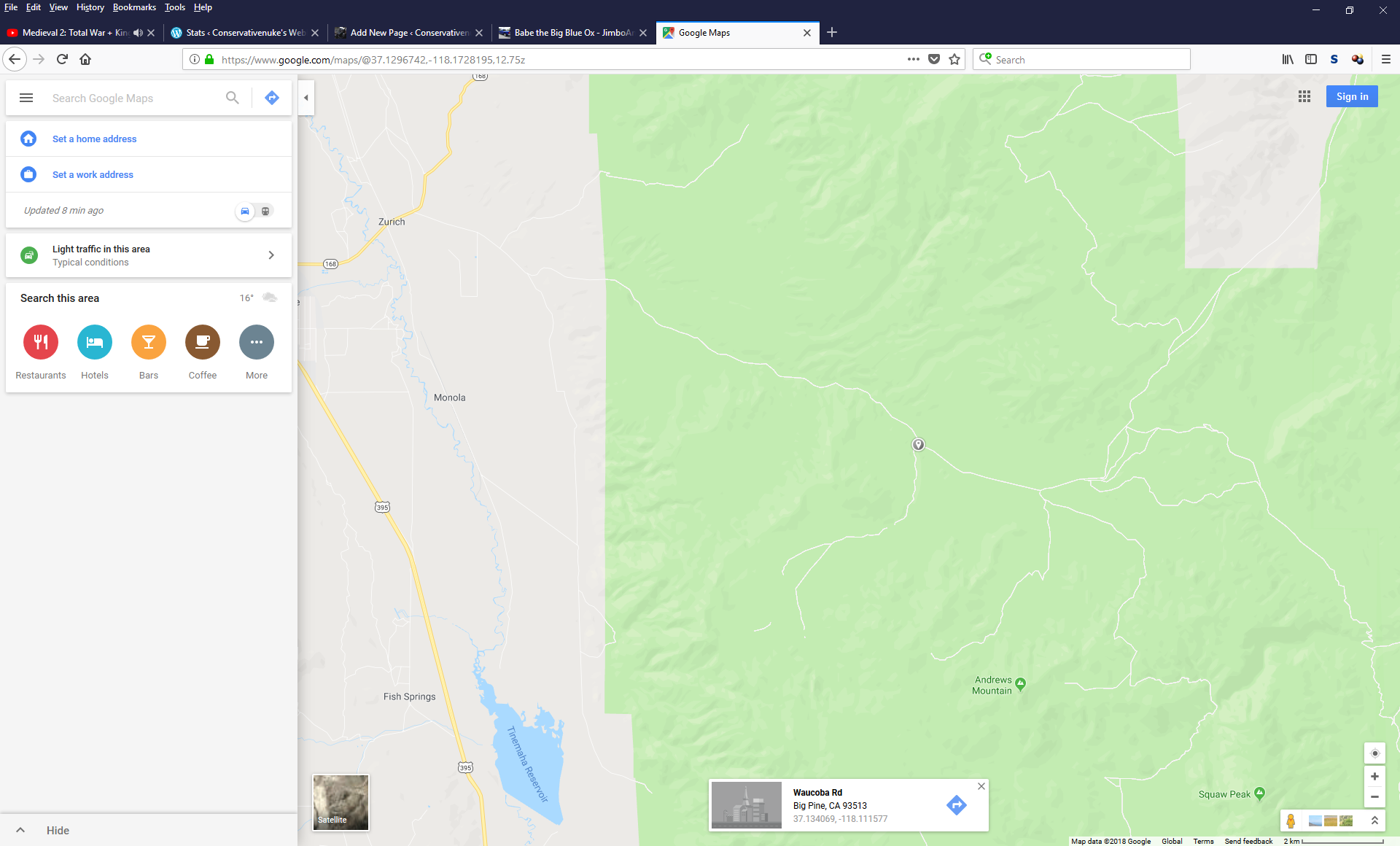
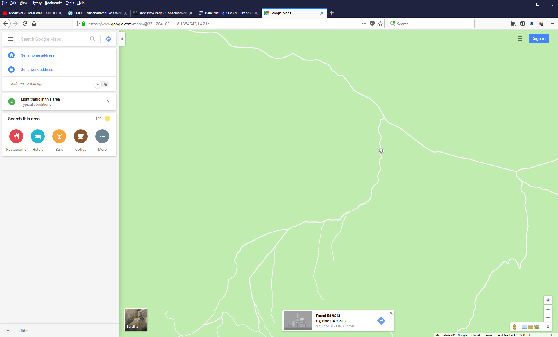
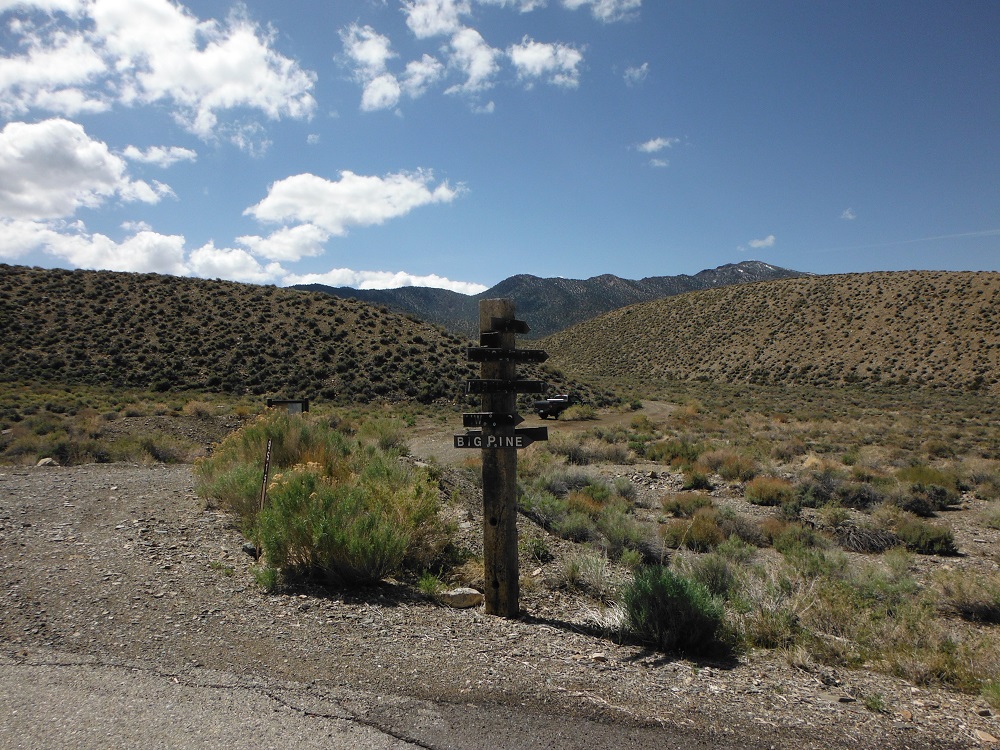
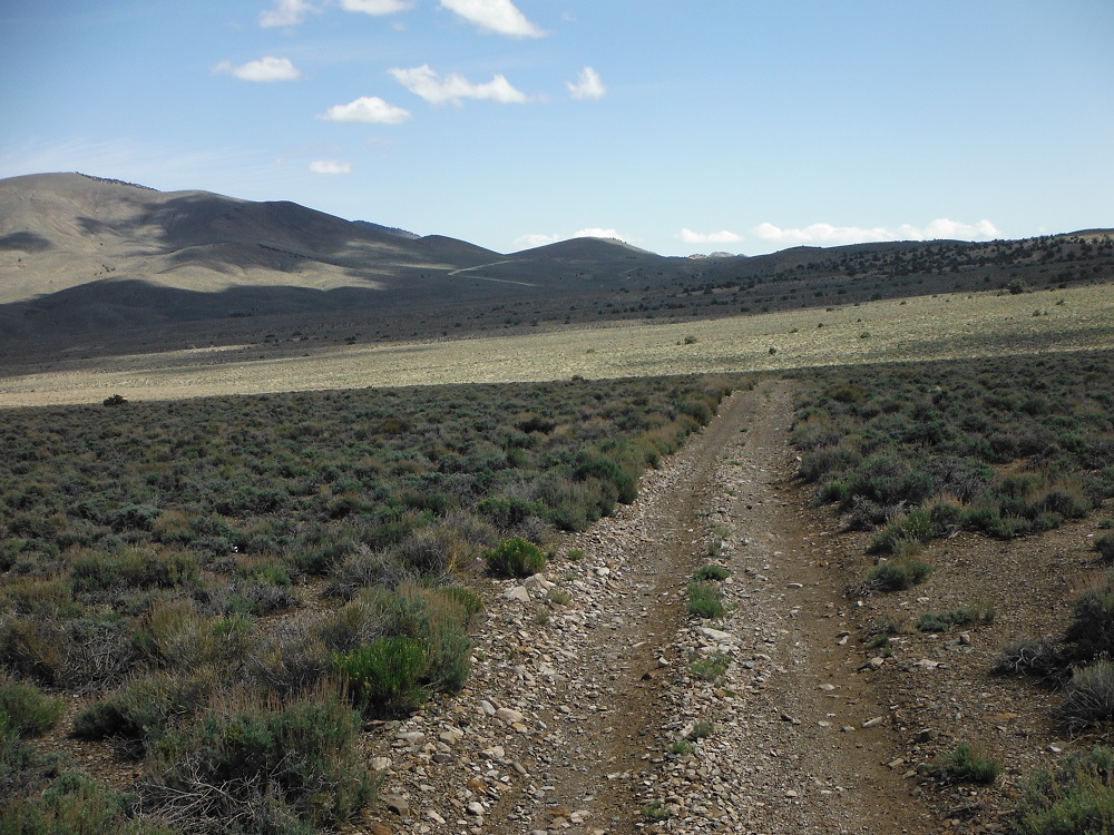
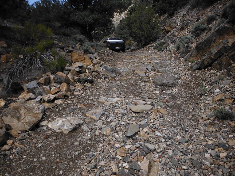
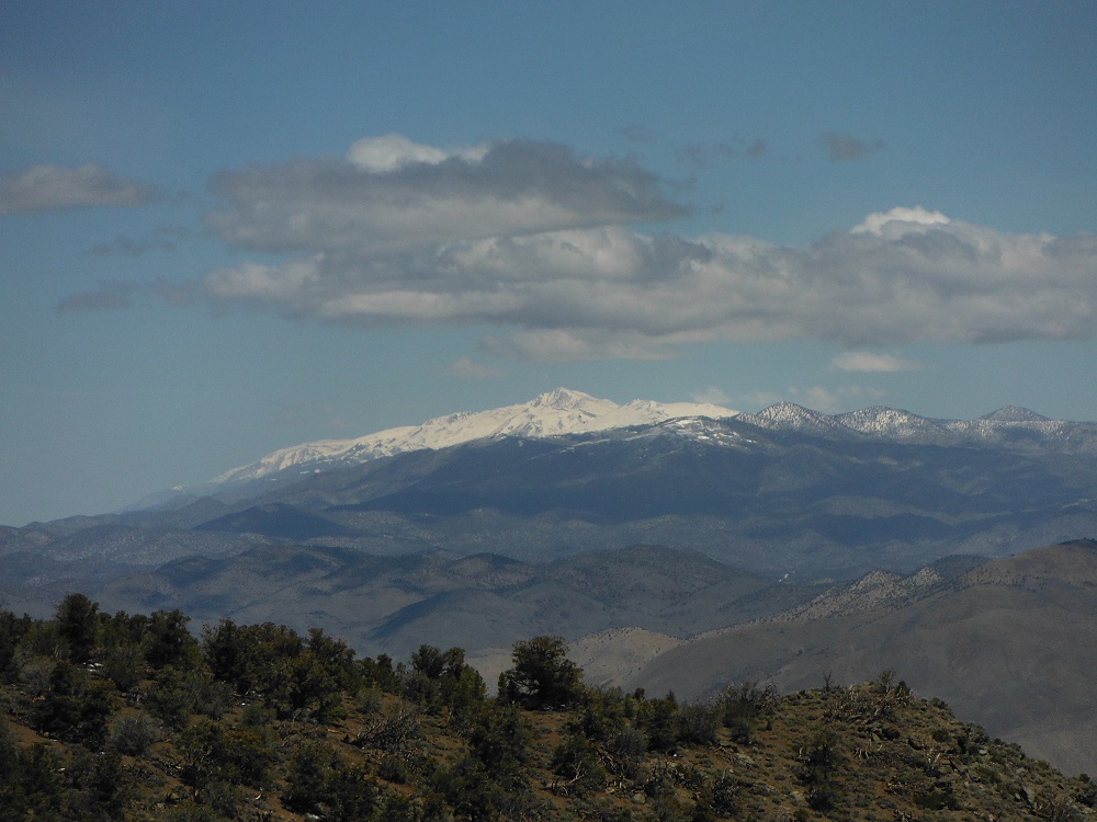
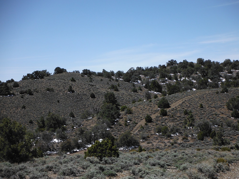
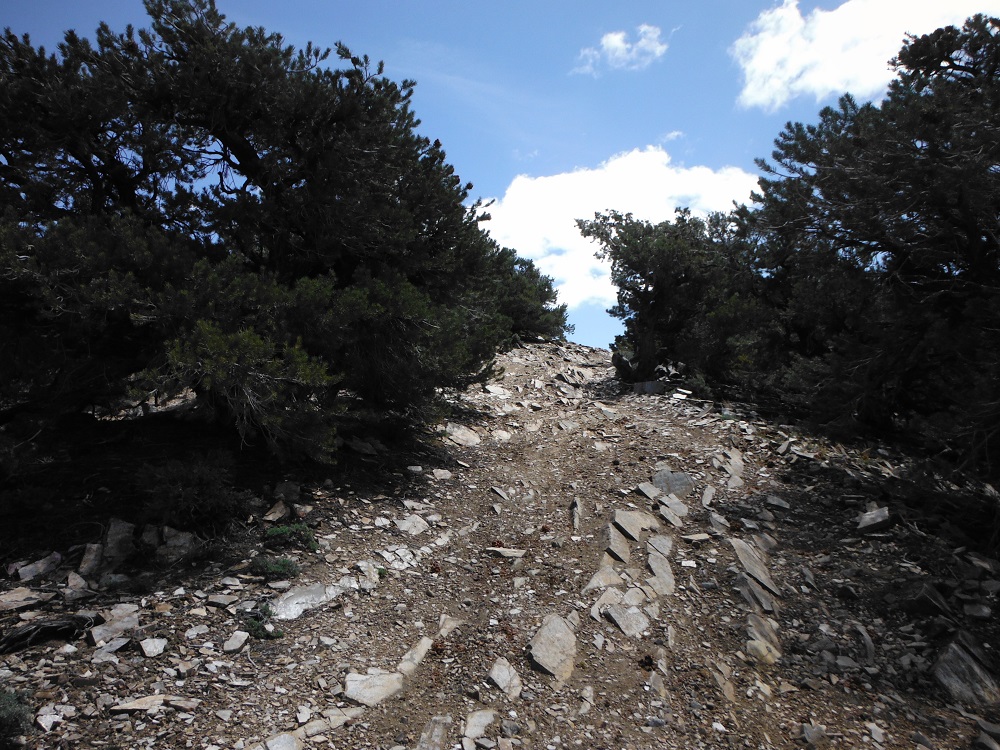
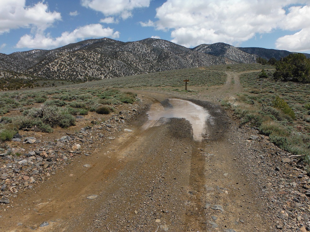
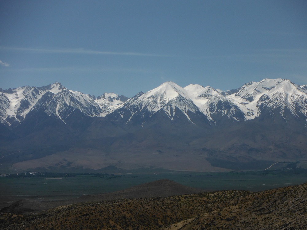
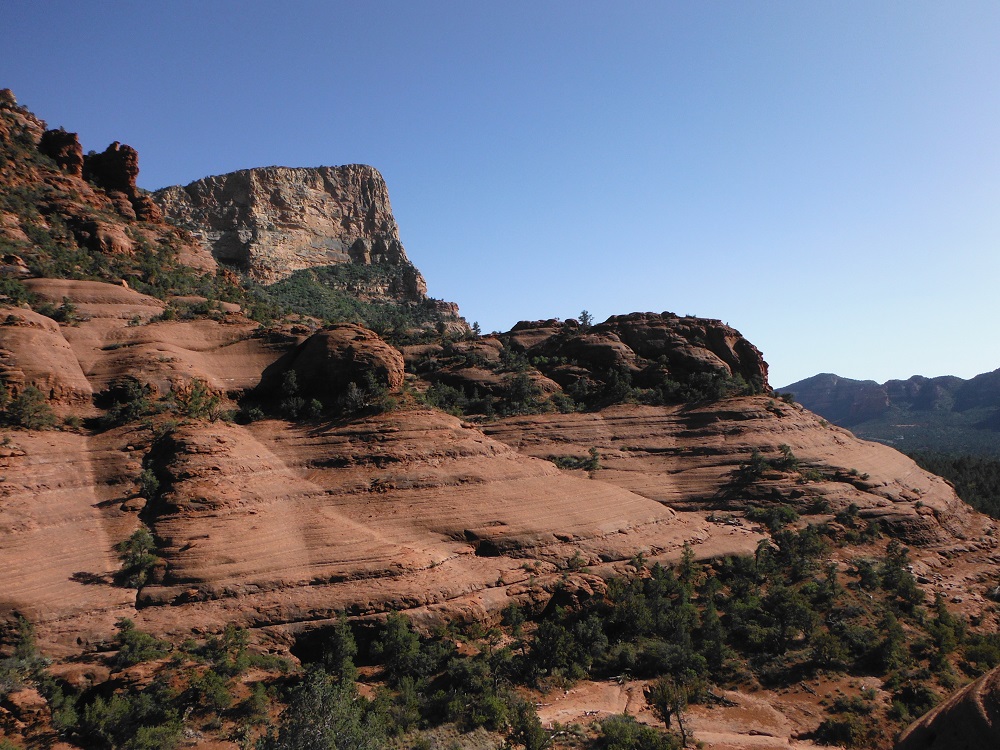
Mazourka Canyon is a trail of moderate difficulty that lies to the east of CA-395 and offers astounding views of Owens Valley and the Sierra Nevada mountains. A 4×4 truck with decent tires would be needed for this trip, specifically the rocky and steep sections in the northern and central portions. I started this trail from the northern end by taking Death Valley Road to Forest Road 9S13. The southern end of this route starts from Mazourka Canyon Road just outside of Independence. I spent approximately six hours on the forty miles of trails that I drove through though I wish that I had spent several days out here. There are so many side routes and hiking trails out here that it would take weeks to go through it all. I can’t wait to see this land again.
West Side Road is a long, washboard road that runs parallel and to the west of Badwater Road. Any 2WD truck would make it through just fine and this amazing route offers access to numerous trails, hikes, and historical sites like the Eagle Borax Works. I started this road from the southern end just after squeezing my truck through Mengel Pass. There are a lot of alkali beds out here that anyone dumb enough to drive through will learn a painful lesson from. The land in Death Valley National Park offers such stunning beauty and these pictures are just a small part of what there is to see out here. Enjoy the rest of the photos on the full page here!
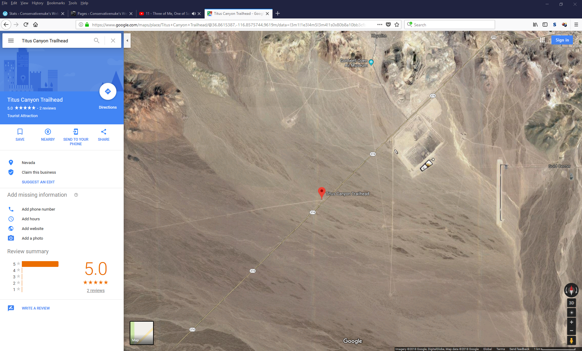
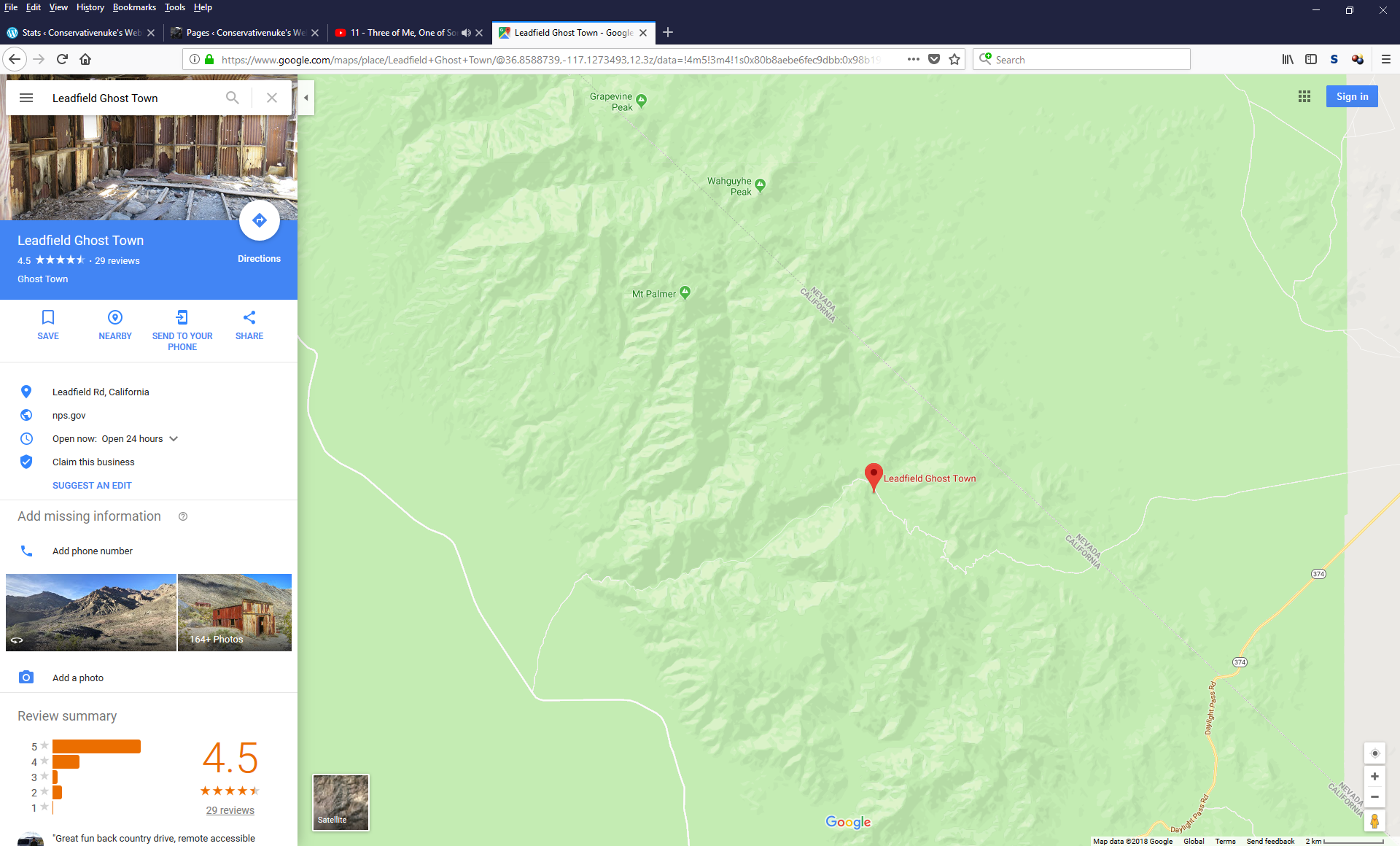
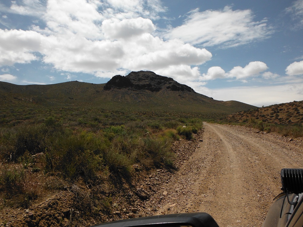
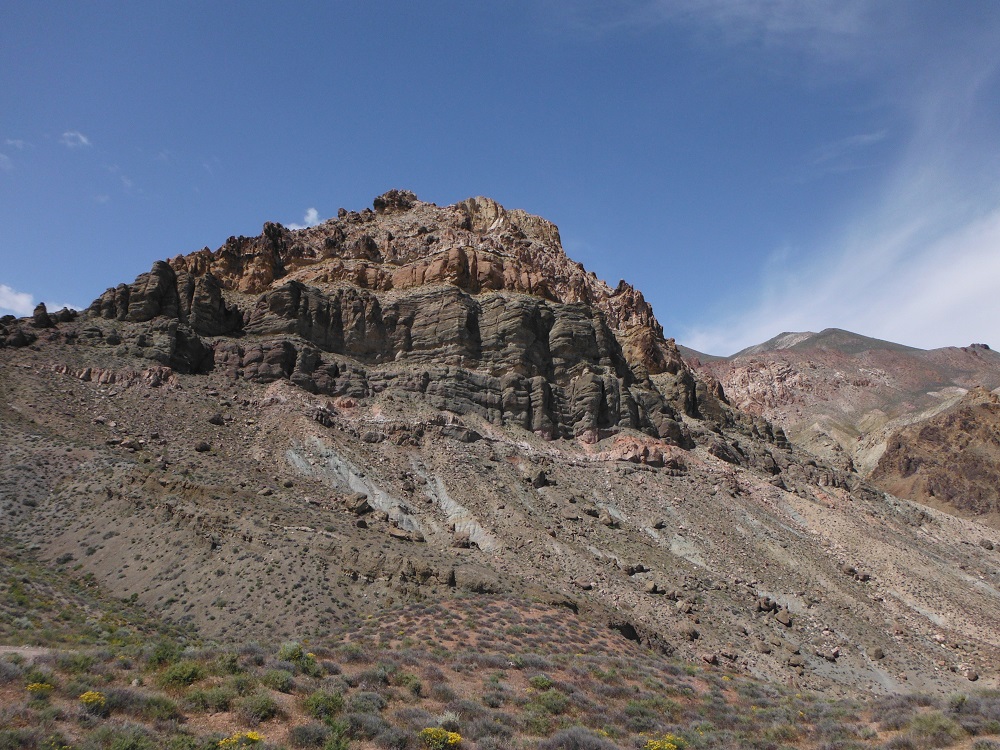
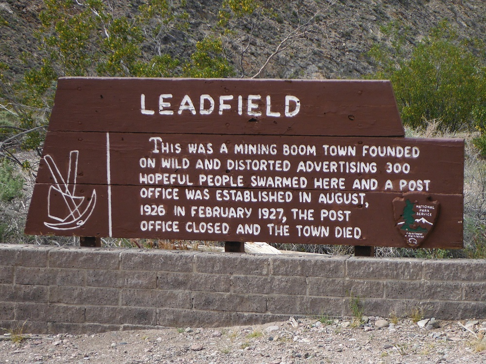
Titus Canyon is an easy one-way trail that starts in Nevada and ends in California. Titus Canyon Road is accessible via NV-374 and ends on pavement at Scotty’s Castle Road 27 miles later. This road can be completed by any 2WD vehicle with some ground clearance in a few hours. The canyon is extremely dangerous during any period of rain and should be avoided at such times. The ghost town of Leadfield is located about halfway along the road and you will have to watch out for individuals driving the wrong direction. I almost ran into a large group on motorcycles in the western end where the canyon is at its most narrow.
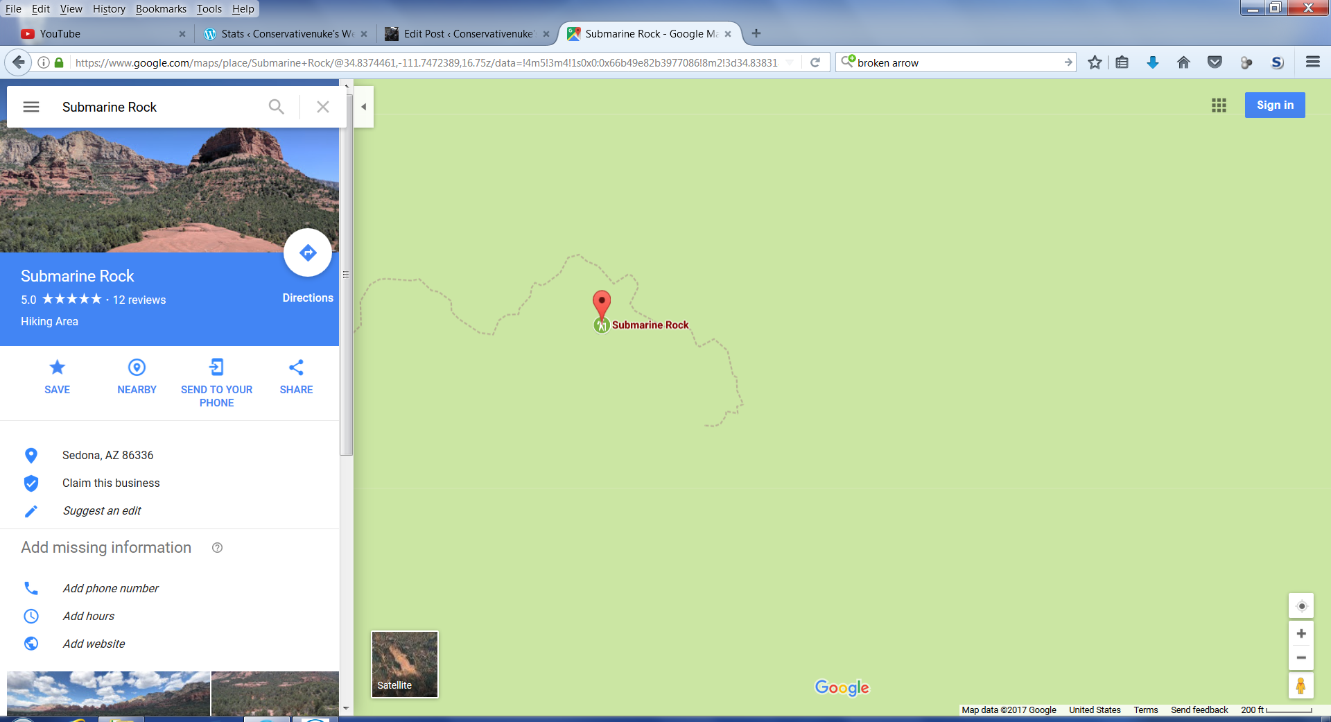
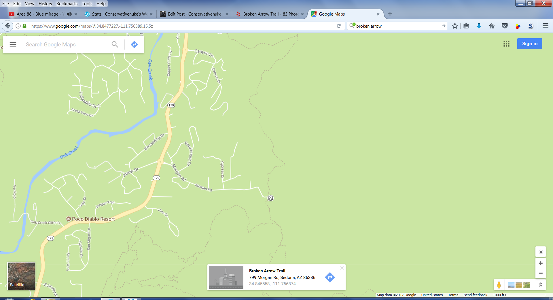
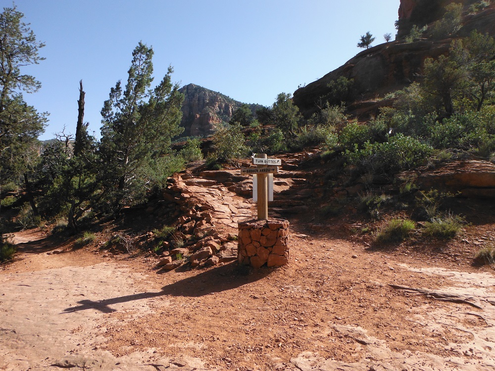
Broken Arrow is a moderate trail that requires a decent tire, good ground clearance, and low-range gearing. My Tundra made it through with some more pinstripes and a lot of backing up from all of the Pink Jeep Tour vehicles. Oh yeah, this trail is very crowded with motorized and foot traffic. Be prepared to stop and backup numerous times. I actually wish that I had skipped driving and just done the hike. The entire loop is only about four miles long but is of astounding beauty. Directions and maps are show below. Enjoy the photos and videos and find the rest of them here!
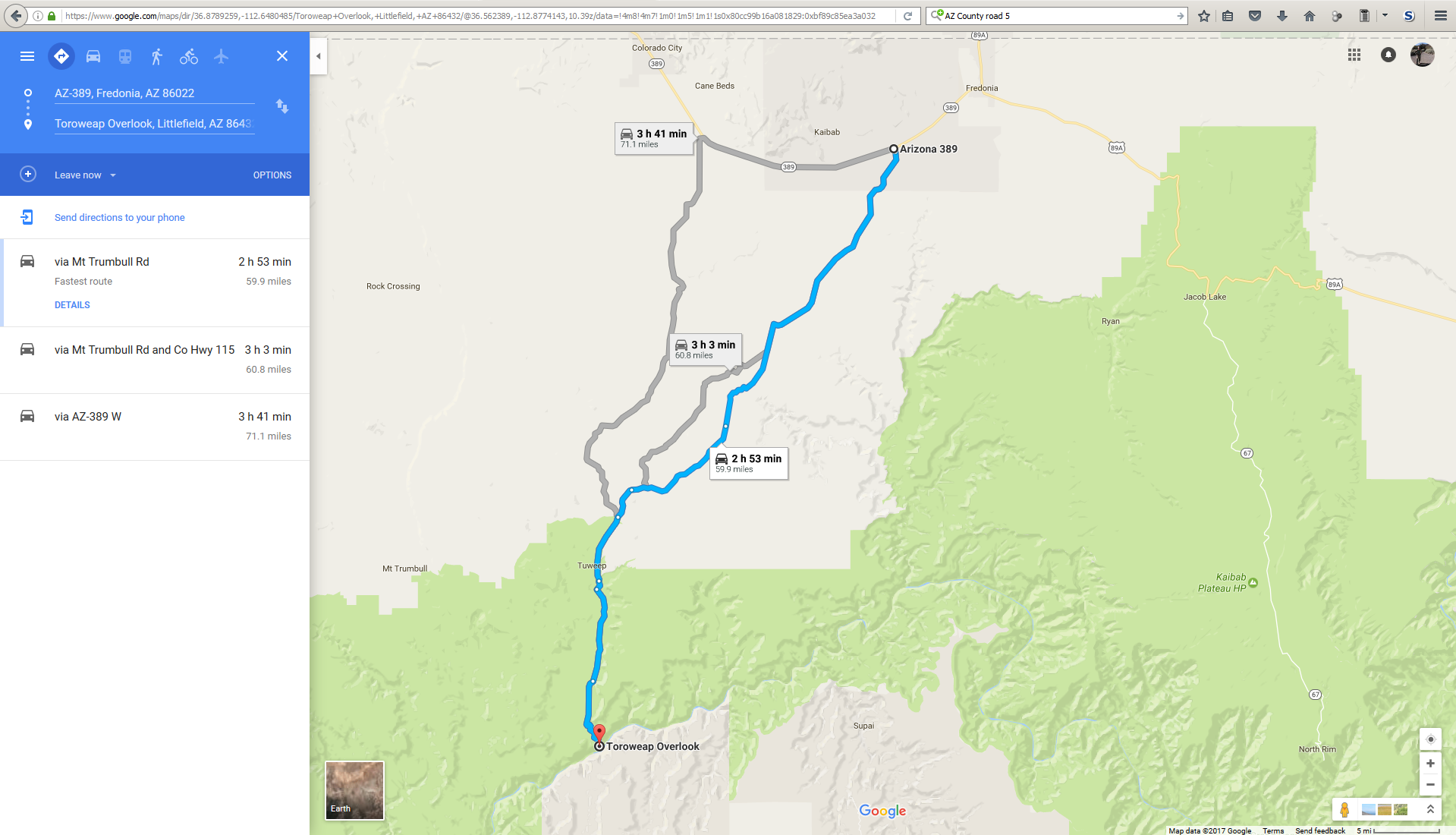
The roads to Toroweap Overlook are easy until the last few miles and even then aren’t too difficult. Understand that if the road is muddy (like how I found it) you will need a truck with good ground clearance, 4WD, and decent tires. There are multiple paths to Toroweap Overlook such as from AZ-389 (near Fredonia, AZ) or from Colorado City, AZ (not too far from I-15). The trip one way is a little over sixty miles and will take most of the day to complete the round trip. At first your driving through some Reservation land and ranches where you aren’t allowed to camp nor should you park for too long. Once you leave the Kaibab Indian Reservation there are more places to stop and a lot of side trails. You won’t actually reach the Mount Turnbull Wildreness until the last 15 miles or so. Just prior to the road getting a little rougher there is a ranger station you must pass by. You will not be allowed past 30 minutes before sunrise and are generally not allowed to camp out past this point. There are a large number of photos and videos for this trip so be sure to view them all here.
As the day wore on I passed a number of people who were driving quickly around blind corners so drive slowly and be careful out there. Be sure to check the for up to date documents on the appropriate websites. Google Maps
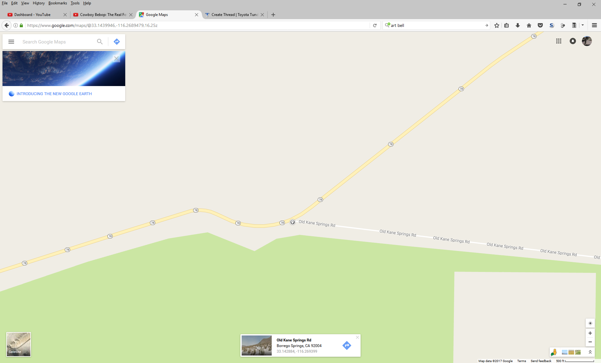
Kane Spring Road is a “road” of moderate difficulty that starts at the northwestern edge of Anza-Borrego Desert State Park, passes through Ocotillo Wells, goes through a very long wash, and ends at CA-78/86 and the Trifolium Border Patrol checkpoint. This road is broken up by Split Mountain Road is not a single path all of the way through. Some of the signs have also been placed in the wrong spot.
You’ll want to take a truck with high ground clearance and good tires through this road and should have a 4×4 on the eastern section as you weave in and out of the wash. Those of you with long-wheelbase trucks will want sliders. If you finish on the eastern end there is a good chance that you will be approached by the Border Patrol. I didn’t take a lot of pictures on this trip, but the rest of the videos can be found here.