Tag: 4×4

Jumpup Point

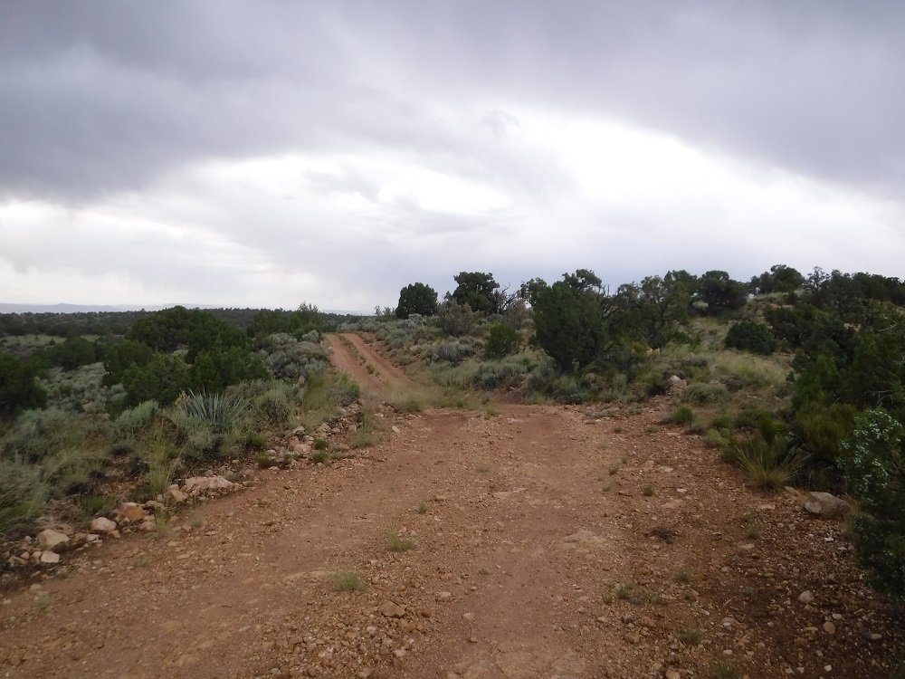
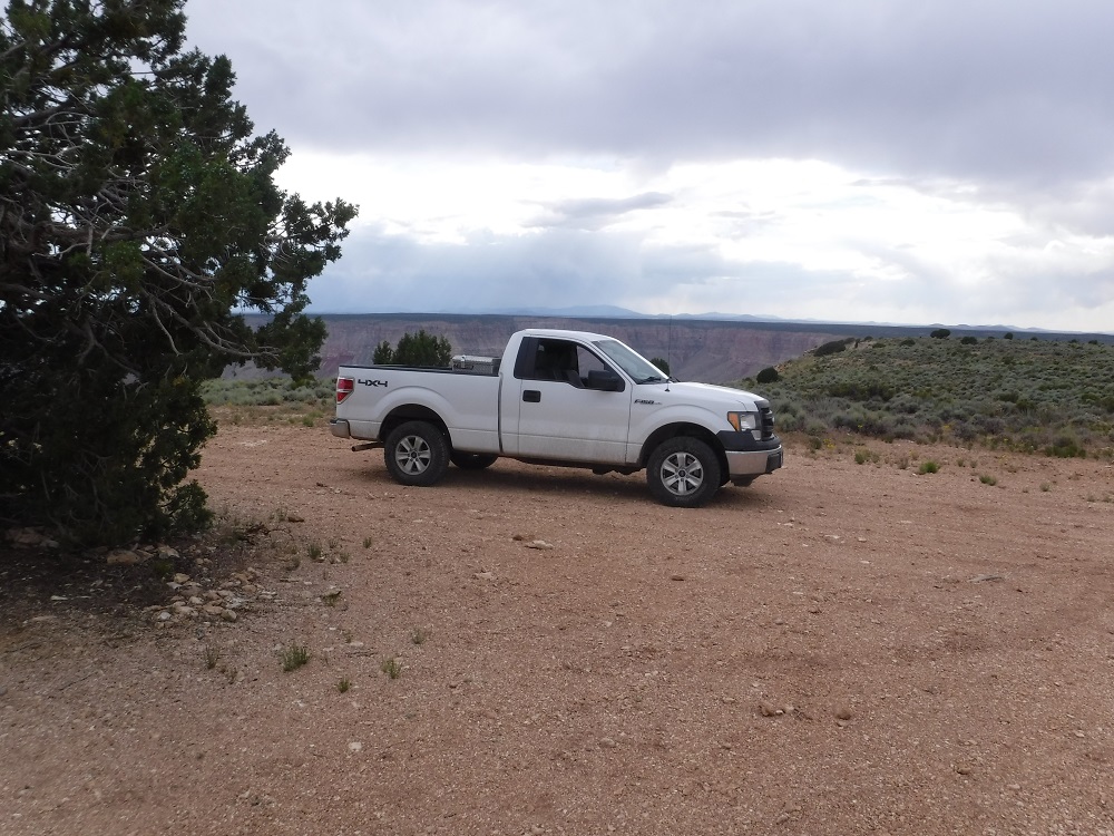
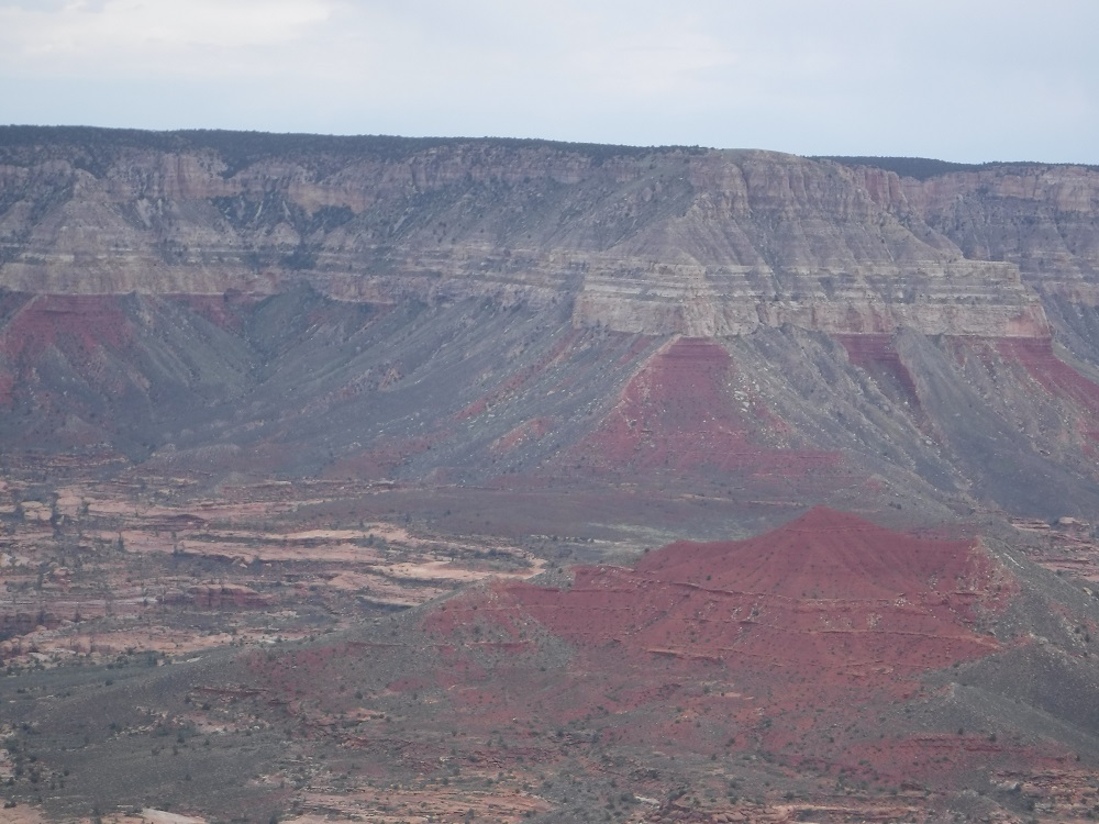
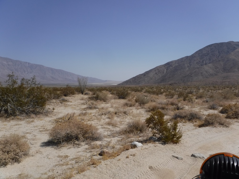
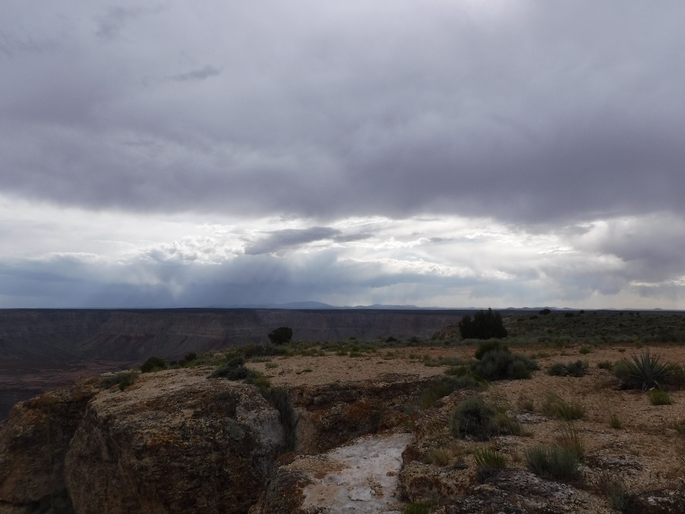
Jumpup Point is located on the western edge of the North Rim of the Grand Canyon. The trails that ends at Jumpup Point is FS 201 which is passable with a high clearance 2WD vehicle under dry conditions. There are numerous trails that can be used to reach FS 201, have a fun adventure deciding which way to take. Having 4WD does make the trip easier and helps you use the brakes quite a bit less. Most of the Grand Canyon tourists visit the Southern Rim (about 90%) which makes trails such as FS 201 very quiet and serene. Expect to have no cell service and no one to extract your vehicle if you break down anywhere along the path. Many of the roads to the North Rim are closed during the colder months which may vary from year to year. The trails away from AZ-67 and more commonly traveled areas will be blocked but trails such as Jumpup or Toroweap will not have gates but may be impassable due to snow cover. Be careful out there.

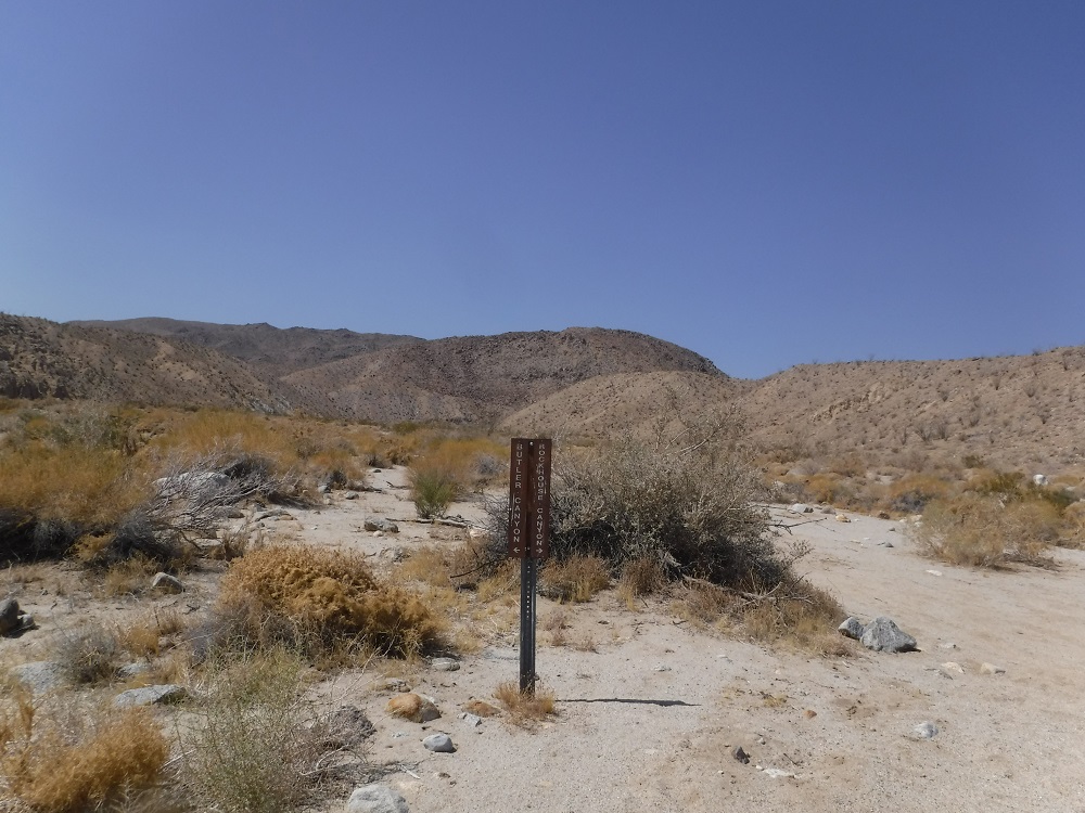
There are multiple paths to Jumpup Point, here is one example from Fredonia. I recommend buying the Kaibab National Forest Atlas online or at one of the Forest Offices. To the northeast of Jumpup Point is Jumpup Cabin, which you can make a reservation for.

Forest Service Alerts and Closures

Grand Canyon National Park Operations Update

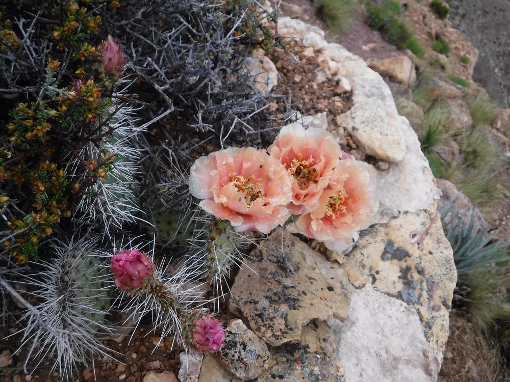
I have a few photos in this post, take a look at the rest of them here on the full page. Enjoy!

Rockhouse Trail

The Rockhouse Trail is an easy route that any 2WD pickup with some ground clearance should be able to complete. At about the 13 mile point the road that ends in Rockhouse Canyon turns into a hiking trail. The trail gets a little rougher past the junction for Butler and Rockhouse Canyons and the end of the motorized portion gradually becomes indistinct from the wash. Clark Valley and Rockhouse Canyon are awesome areas to visit and I’ll have to hike further up to see the rock houses and Santa Rosa Indian ruins at some point. For now, this page will only contain images from the drivable portions of the route. The video shows the trail starting from the northern end as I head south to return to S-22 just a few miles east of Borrego Springs. Be sure to look for the rest of the details, photos, and videos here on the dedicated page and enjoy!

Bear Valley Road (16S12)

Bear Valley Road is an easy trail located about 40 miles east of San Diego that is accessible directly from I-8. With dry conditions any 2WD truck with some ground clearance can easily pass through this trail. There are numerous trails that connect to Bear Valley Road but the only other one that the public can routinely access is Long Valley Road (16S15) which I am also including on this page. This trail is great fun if you don’t feel like driving too far away from San Diego and want to avoid getting a full blast of the desert heat during the summer. During the Winter and Spring months the trail will be closed right before and during storms. Unlike many of the trails that I have gone through I went with a rather large group. Enjoy the photos and videos and look for the rest of them here on the dedicated page!

Cleveland National Forest website

White Mountain (3N17) Redux

Last year I went through the White Mountain trail in its entirety with a large group as a passenger. It really was nice to just sit back, relax, and take some photos. I knew that one day I had to take my own truck out on this remote and fairly empty trail. You don’t have to be worried about running into a bunch of dirt bikes or ATVs out on this trail, just other full-size vehicles. Turn-around and passing points are few and far between on this trail though so you might have to prepare to back up a fair distance. I highly recommend that you take some time to head up to this wonderful trail. Look here for the rest of the photos and videos. Enjoy!

Holcomb Valley Road (3N16), Spring Run

Several months ago I traversed Holcomb Valley Road in its entirety right after a winter storm and greatly enjoyed my trip. The cold weather and snow/ice present during the previous trip seemed to keep the dirt bikes and ATVs away and made the trail much emptier but it was not to be so this trip. I opted to head through this trail again during warmer months with a small group of friends on the way to the moderately difficult trail of White Mountain (photos/videos coming soon). This is an easy trail that any vehicle with some ground clearance could drive through. Look here for the full page with all of the photos and videos. Enjoy!

Here lies an abandoned Toyota 4Runner. I don’t know if the accident or rollover occurred near here or if the vehicle was simply dumped:

Here a few less somber photos:

More Tundra maintenance updates

I haven’t made a post like this since last year so I figured that I was due for another one of these. I have had two oil changes with different brands just to see how the engine oil analysis results would come out, had some of the Automatic Transmission Fluid (ATF) changed out, swapped out the u-joints on the front driveshaft, and had to have corrective maintenance performed for the first time ever when the passenger side rear wheel bearing started to go out. My heart just sank when I saw gear oil smeared on the brake backing plate. I can’t complain too much since nothing else has actually required repair or replacement on a 2008 model year truck. Anyway, here are the reports from men smarter than myself and associated photos.

Valvoline 0W/20 Oil Analysis:

Castrol Edge 0/W20 Oil Analysis:

Toyota World Standard ATF oil analysis:

The bearing seal just sort of disappeared off of one of the bearing caps on the front driveshaft forward u-joint so I had both replaced.

I was curious about how fat the truck had gotten over time so I went to a weigh station:

Lastly, here’s the part that makes me sad. $1200 later I had the wheel bearing replaced at Toyota of El Cajon.

Rodriguez Canyon Redux

Several years ago I wrote a post about Rodriguez Canyon, an easy trail in eastern San Diego County just south of Banner Grade along CA-78. I recently went back again and recorded some much better video along with going out after a very wet Winter and Spring for San Diego. Snow had recently fallen on the mountains just to the west of Rodriguez Canyon and the trail was wet without dust clouds forming as I passed along. Any 2WD truck with decent ground clearance will normally be able to make it through this trail. Enjoy the photos and videos and find all of them here on the dedicated page!

Northern trail end:

rodriguez_north

Southern trail end (The trail does continue for highway-legal vehicles to S-2 in spite of what Google Maps shows.):

rodriguez_south


Seven Oaks Road

Seven Oaks Road is an easy trail that is made up of parts of two different forest roads (1N45/1N04) that any 2WD truck will pass through unless it is really muddy out. This trail lies just north of CA-38 and is a nice ride with access to several camps and hiking trails that is an easy-going ride. I highly recommend that you hit up this trail if you’re passing through the area. Enjoy the video and look here for all of the photos!

Seven Oaks Road location:

seven_oaks_1

Holcomb Valley Road (3N16)

The portions of Holcomb Valley Road that I drove through were of generally easy difficulty and would be easier with no mud or snow. I decided to head up to Big Bear and try some snow wheeling and was very pleasantly surprised by the Winter wonderland I saw. There was lots of fresh snow and not to many people on the trails; I guess that not many drivers were interested in taking on some moderate snowfall. I started the trail on the eastern side near the Big Bear Transfer Station (aka Dump) and head up and west from there. I continued along 3N16 until reaching the junction with Coxey Road (3N14) and headed south as the Sun fell. As I passed through the western portions of the road there was a Chevy Volt with some chains on behind me that made it through with little issue along with a diesel-powered F-250 that got out of a hole as soon as he put his transfer case in 4-LO.

There is a trail south of the route I described known as Holcomb Creek Road (3N14) which is much more difficult and would be harder to complete with a full-size truck like mine. There are numerous hiking, highway-legal 4×4 trails, and even a few OHV trails that connect to 3N16 and it’s a great way to enjoy the area and take in a whole lot at once if you only have an afternoon free and aren’t interested in any hardcore trails. I’ve embedded some map and trail information below. Enjoy the photos and videos and look for the rest of them here on the dedicated page!

Eastern starting location:

holcomb_location

Western ending location:

holcomb_location0

USDA Forest Service – Holcomb Creek Information

USDA Forest Service – Holcomb Valley Road Information

Cleghorn Road Group Run

I recently went on a decently sized group run to Cleghorn Road just off of I-15. The main trail is easy and I have documented it before but I simply desired to show off some of the group photos and passing through all of the terrain without several inches of snow cover. A fun time was had by all and you may find the rest of the photos and videos here on the dedicated page. Enjoy!