Tag: Toyota

Gold Valley and Gold Lake

The Gold Valley area can be reached from the north by taking CA-89 (Graeagle is the closest town of any significance) and heading west towards Graeagle-Johnsville Road. From the south CA-49 can be used to reach Gold Lake Highway. From the Guide to Northern California Backroads and 4-Wheel Drive Trails by Charles A. Wells (Mr. Wells has since converted his separate California books into a single book):

From Auburn and Grass Valley, take Hwy. 49 north and east past Downieville and on to tiny Bassetts. From Truckee, take Hwy. 89 north to 49 then go west to Bassetts. From Bassetts Station, take Gold Lake Highway west then north about a mile and a half. Turn left over a bridge following signs to Sardine Lake. After 0.2 miles turn right towards Packer Lake. Go another 2.7 miles and turn left. Climb uphill until you reach Packer Saddle at the top of a ridge in another 1.6 miles. You’ll continue straight on a gravel road for Gold Valley Trail. Deer Lake Trail is to the right and Sierra Buttes Lookout is left on the paved road.

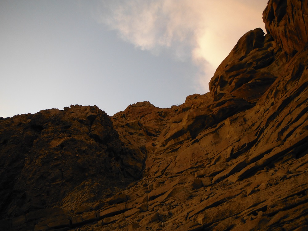
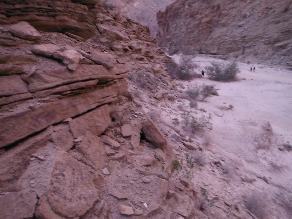
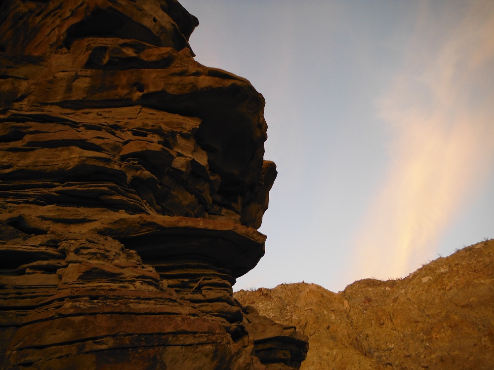
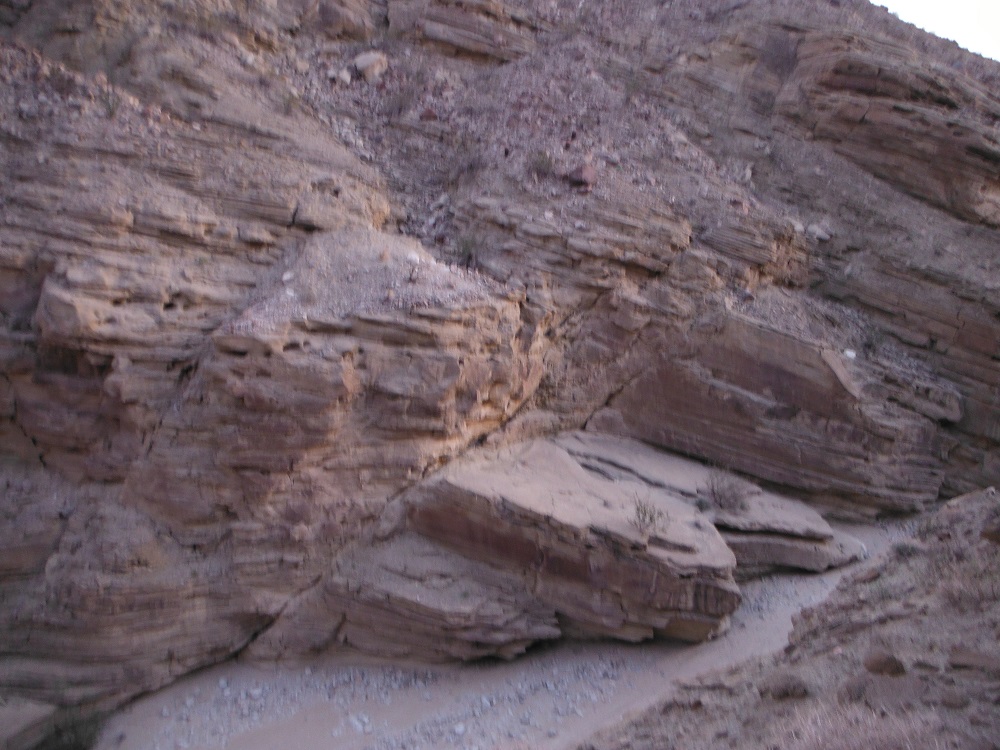
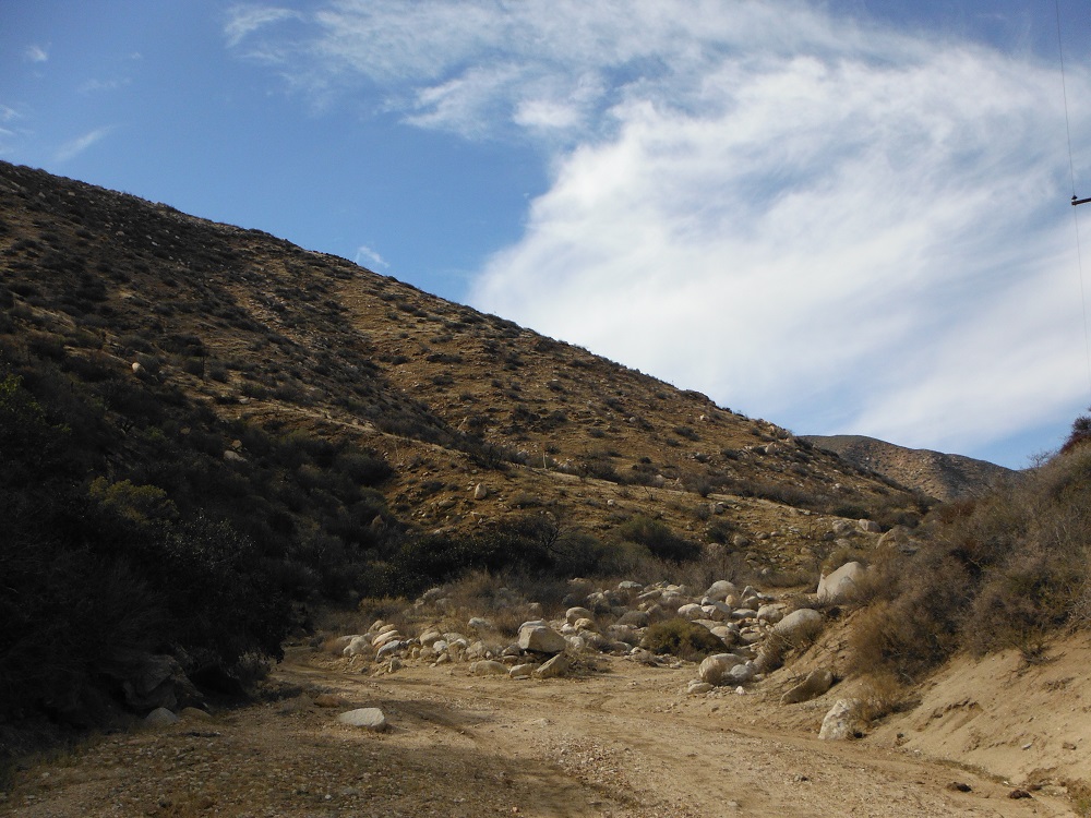
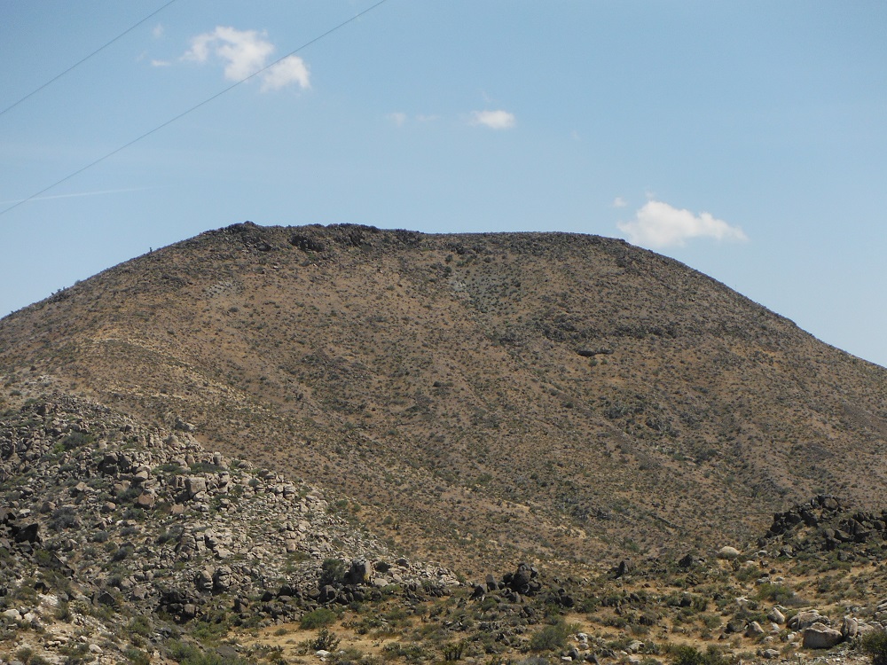
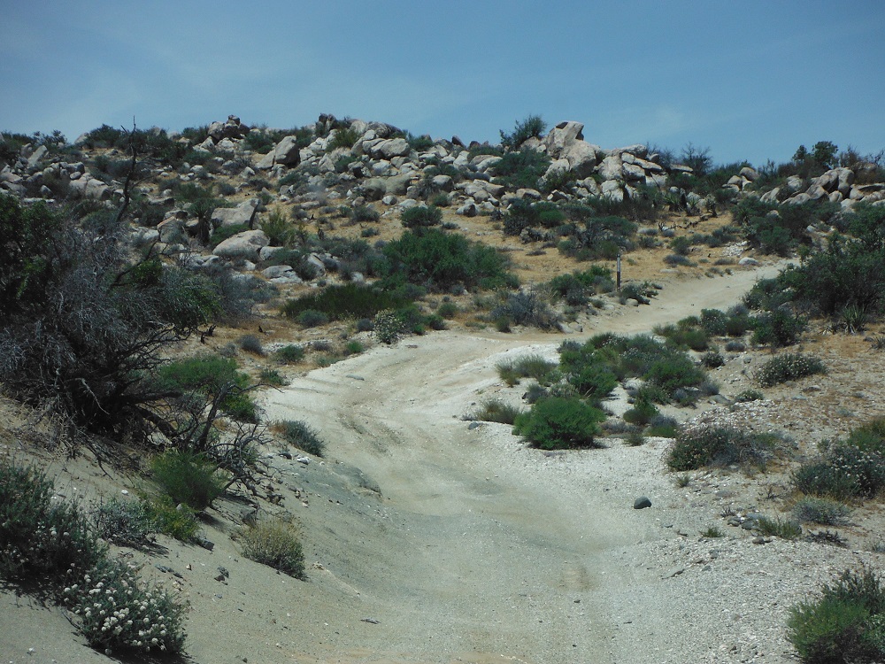
The area around Gold Valley (and the Tahoe National Forest in general) is simply astounding. I went here last September so there were no snow problems but obviously that’s a different case during the winter and early spring months. The trail happens to overlap with the Pacific Crest Trail in some spots so be sure to watch out for hikers and cyclists. As always, be sure to share these photos and videos with your friends. Enjoy!

Location of a campground by Gold Lake:

Gold_Lake_1    Gold_Lake_2

There are many more videos and photos of the area on the trail-specific page.

DSCF6157    DSCF6169    DSCF6172    DSCF6183


DSCF6193    DSCF6213    DSCF6188    DSCF6217

Fish Creek

I’ve documented an off-road jaunt through the Diablo Dropoff and Fish Creek already but this time I got more video. I started this trail about an hour before sunset so I actually have some video going all the way to the Wind Caves now. The first mile and a half after the Diablo Dropoff is tight and rocky with everything after that being pretty tame. Enjoy the videos!

fishpoint

The Wind Caves

The Wind Caves are in the eastern end of Anza-Borrego Desert State Park along Fish Creek. The closest paved road is Split Mountain Road just a few miles to the east. For detailed directions and trail descriptions look to my page on the Diablo Dropoff and Fish Creek. Most any vehicle should be able to reach the Wind Caves from the eastern end, provided you drive slowly and carefully. The geological formations in this area are simply mesmerizing. I’ll have to take some more photos of the area in the future but for now look for them on this page. Enjoy!

windcave

DSCF6723   DSCF6739   DSCF6721   DSCF6718

DSCF6705  DSCF6701    DSCF6700   DSCF6697

EC 119, 158, and West Mortero Wash

EC 119 (also known as Dos Cabezas Road) is one of the many trails winding through Anza-Borrego Desert State Park. I-8 or CA-78 can be used to reach S-2 which is the nearest paved road. The junction between I-8 and S-2 is about four miles to the southeast of where this trail begins. The San Diego and Arizona Eastern Railway runs along this trail and there’s even an abandoned rail station along the route. EC 158 branches off of EC 119 and heads back east to S-2. The views of the desert, mountains, and gorges are simply stunning. Be wary of illegal immigrants and smugglers; do not go hiking along the tracks.

Location

doscabezos

EC 119

DSCF1008 DSCF1013 DSCF1015 DSCF1018 DSCF6534 DSCF6549 DSCF6553 DSCF6557

West Mortero Wash

Find the rest of the photos and video footage here. Enjoy!

Note: Sometimes, the truck doesn’t come out unscathed.

DSCF6622 DSCF6623   DSCF6624

Vallecito Creek, Arroyo Seco, and the Diablo Dropoff.

Vallecito Creek is just one of the many washes that pass through Anza-Borrego. It can be reached from the west via S-2 and is about 20 miles north of I-8. It can also reached from the east via the many trails that connect to it. Vallecito Creek heads east and reaches Arroyo Tapaido. Arroyo Tapaido either heads north to a dead end or loops back around south to reach Arroyo Seco del Diablo. The Diablo Dropoff and Fish Creek jut off to the east and eventually lead you towards Split Mountain Road and Ocotillo Wells. I didn’t take any separate photos of some of these trails but rather just took screenshots of the video to give you an quick idea of the environment. Look for all of the corresponding videos and pictures in the links below. Enjoy!

Vallecito Creek

Arroyo Seco del Diablo

The Diablo Dropoff and Fish Creek

diablopoint  fishpoint

Vallecito_4 Vallecito_2 Diablo Diablo_3

DSCF2656
It can get narrow…


Rodriguez Canyon

Rodriguez Canyon is an easy trail southeast of Julian, CA. Rodriguez Canyon can be accessed from the northern end from CA-78 at the end of Banner Grade or from the south along S-2 (north of mile post 27). Rodriguez Canyon runs to the parallel and to the eastern side of Oriflamme Canyon. This trail is of slightly moderate difficulty; any good truck or 4×4 with some ground clearance will make it through with no problem. At the time I went through there was no snow though it is possible for some to accumulate. There are a number of private roads and land around the area so be careful not to trespass. Enjoy the photos and video footage and look for the rest of them here! I’ve also started a build page for the Toyota Tundra that I recently purchased for any who are curious.

DSCF6256 DSCF6261 DSCF6294 DSCF6314 DSCF6318 DSCF6319 DSCF6343

DSCF6356


Table Mountain

The Table Mountain area doesn’t have any hardcore rock-crawling. As long as your truck has decent ground clearance and you can pick a good line you will make it through the area. My nearly stock Tacoma made it through. A locking rear differential or a little lift in the front would have helped out greatly though. The Table Mountain network of trails in of themselves don’t extend to other roads unless you count some footpaths. The network of trails lead to some amazing views, though it can be hard to tell if you’re on a legitimate trail or not. A lot of the paths in the area are closed but aren’t  marked very well.   There’s not really any way to get lost in the Table Mountain area, just drive back the way you came once you hit a dead end or random fork with a camping spot. The trail was pretty empty the day I went, the only vehicle I passed was a first-generation Tundra. No one on dirt bikes or ATV’s to get into close calls with here.

To reach the Table Mountain area: drive along I-8 and exit at the In-Ko-Pah Road exit, head west along U.S.-80 and turn right onto a dirt road near the brake-check station. Enjoy the photos and find the rest of them here!

DSCF6007 DSCF6006 DSCF5943 DSCF5931 DSCF5934

The Gas Dome

I went through a series of trails in the Ocotillo Wells State Vehicular Recreation Area (SVRA) this last Saturday with some other Tacoma owners. The Ocotillo Wells SVRA is just west of the Salton Sea and is easily accessible by either CA-78, CA-86, or S-22. There are towering sand dunes, numerous geological formations, easy trails, hard trails, and a lot of open space to either methodically crawl or quickly speed through. We passed through the Shell Reef Expressway, Pole Line Road, and the Gas Dome among other places. I’ll post up about other trails soon, but for this one I’ll have mostly just photos from the Gas Dome up.

There are many graded gravel roads that can be used to reach the Gas Dome, just as many more difficult routes may be taken. The Gas Dome is one of the few areas of the Ocotillo Wells SVRA that is partially blocked off to prevent damage to the features of the area. The Gas Dome is near Pole Line Road and trail signs are abundant, so it is relatively easy to find. The Ranger Station has many maps of the Ocotillo Wells SVRA and is a good first place to check out if you’ve never been to the area. Enough of my babbling though, here’s a link to the photos with a few teasers posted below. Enjoy!

DSCF5855 DSCF5860 DSCF5862

A fine explanation for what is happening in the surrounding area.

Bonus pictures! Here are some of the other trucks that I went out with.

DSCF5836 DSCF5866 DSCF5848