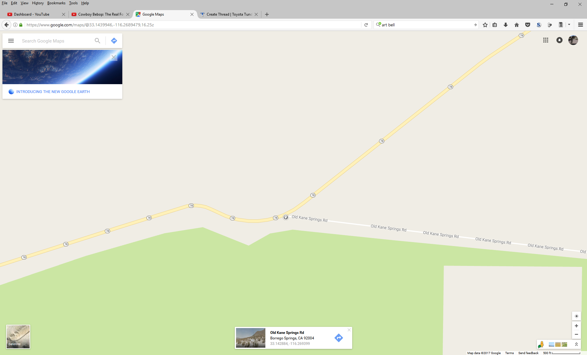
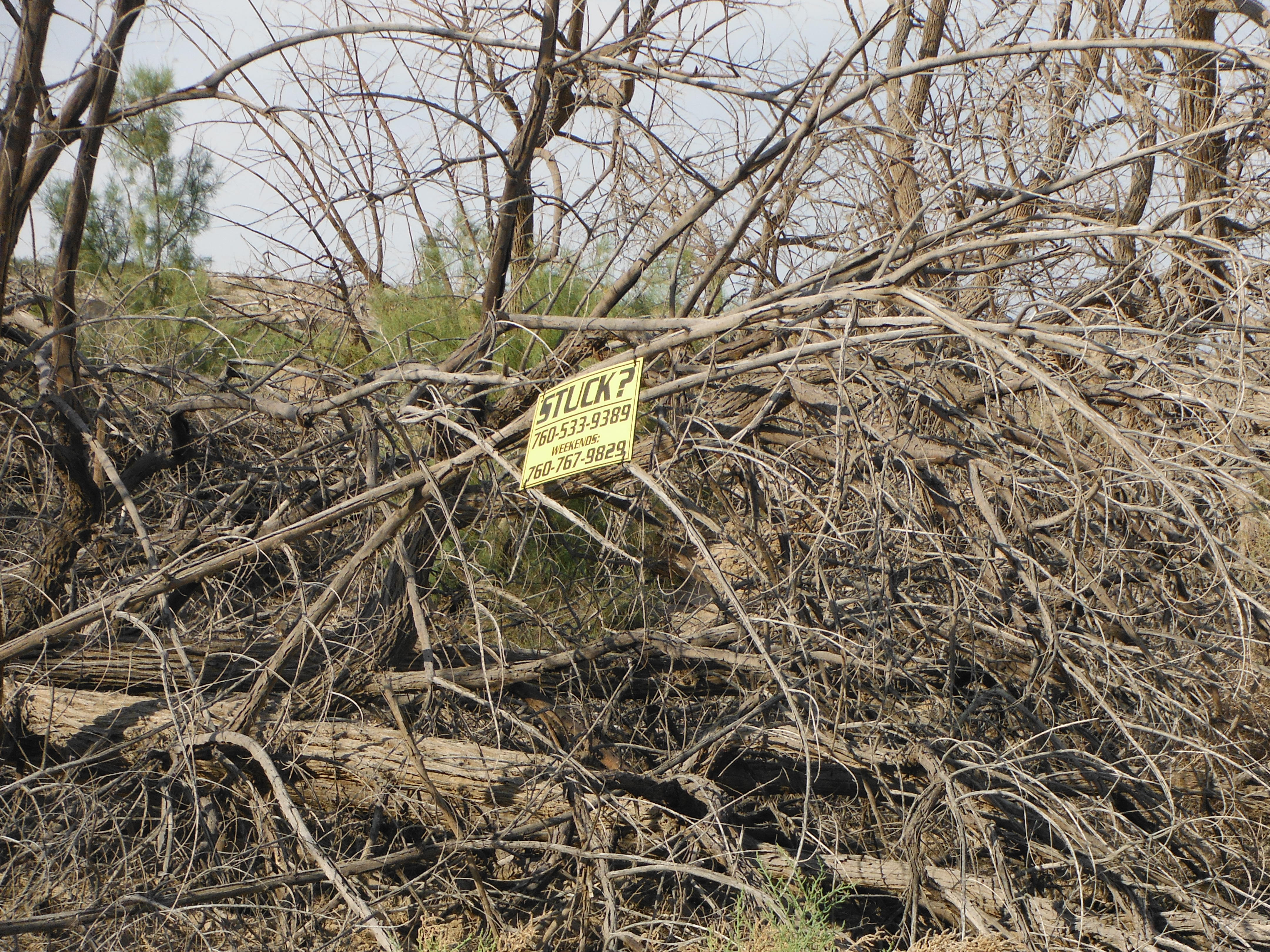
Kane Spring Road is a “road” of moderate difficulty that starts at the northwestern edge of Anza-Borrego Desert State Park, passes through Ocotillo Wells, goes through a very long wash, and ends at CA-78/86 and the Trifolium Border Patrol checkpoint. This road is broken up by Split Mountain Road is not a single path all of the way through. Some of the signs have also been placed in the wrong spot.
You’ll want to take a truck with high ground clearance and good tires through this road and should have a 4×4 on the eastern section as you weave in and out of the wash. Those of you with long-wheelbase trucks will want sliders. If you finish on the eastern end there is a good chance that you will be approached by the Border Patrol. I didn’t take a lot of pictures on this trip, but the rest of the videos can be found here.
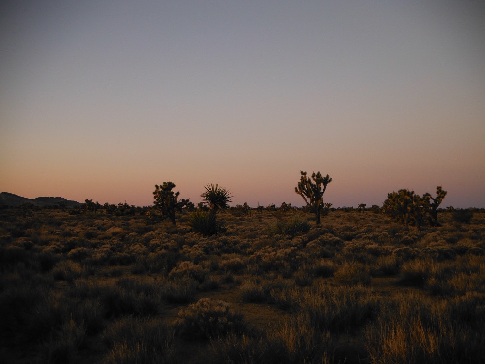
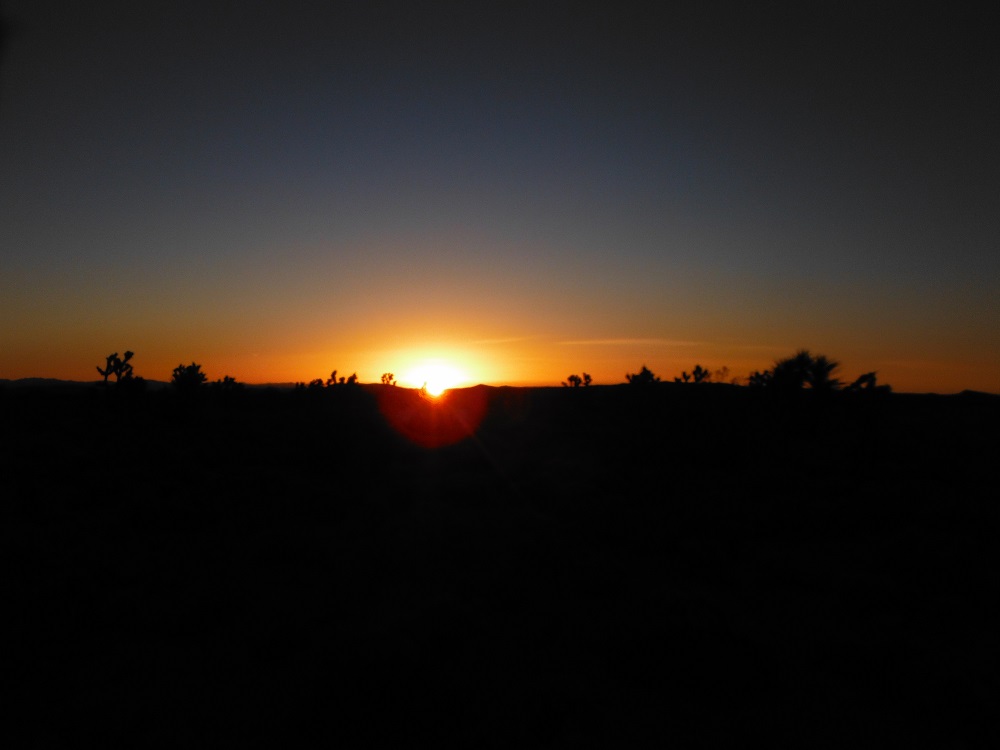
My one-man journey across the Mojave Road continues shortly after the sun rises. The night was cold and camping in a two-man tent didn’t feel great but at least the sunrise was beautiful. My day started at the Penny Tree as I ventured through the last forty miles of the trail to Needles Highway. I really wish that I had taken more time on this trail to hike around the various features.
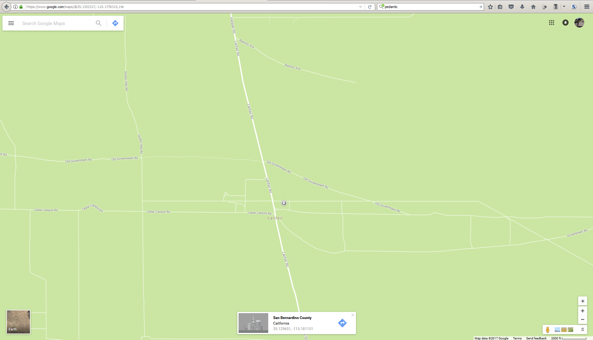
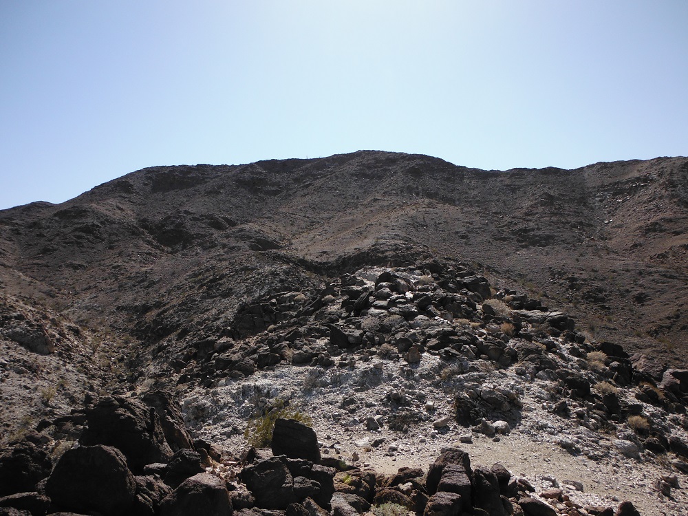
As in the previous portion of the road, I went from west to east so all of the cairns (piles of stone) are on the left side. The temperature throughout the night into the early morning was about 0 °C but quickly warmed up as I went a few thousand feet down the ridge. As you head down Lanfair Ridge there’s a spot on the road that is badly eroded which probably explains why there is a “ROAD CLOSED” sign on the eastern side. Any 2WD truck should be able to make it through this portion of the road unless it is extremely muddy.
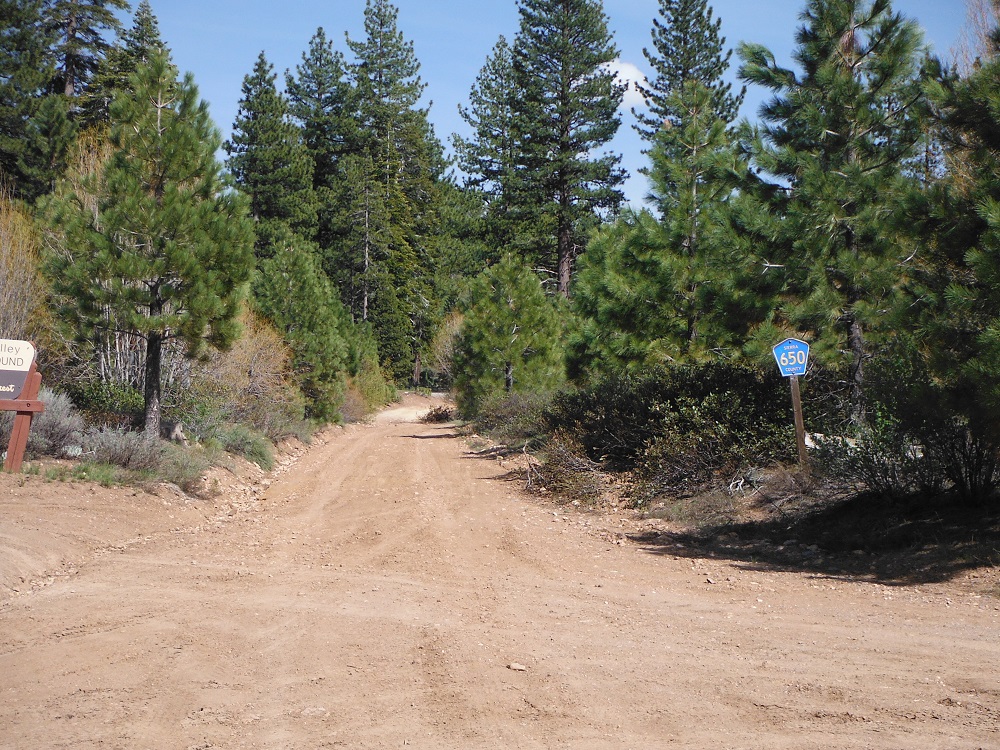
This portion of the Mojave Road covers the area between Kelbaker and Ivanpah roads and is almost minivan friendly, especially Cedar Canyon Road. Any 2WD truck would make it unless it is muddy. The Mojave Road mailbox is in the western portion of this section and you can add your name to the logbook, unless of course someone left the book out in the rain. There are camping spots by the Beale Mountains (firepits are the only thing offered here) along with the Mud Hills and Hole-in-the-Wall campgrounds south of Cedar Canyon Road.
Camping on the cold ground in a two-man tent sucks. If I was smart I would’ve stopped at the Beale Mountains for the night instead of pushing on in the dark. I went from west to east and the cairns (piles of rock along the trail) will always be on the left. Find the full video playlist here and the rest of the pictures here.
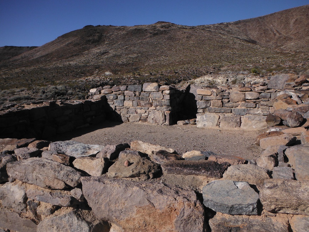
The Mojave Road is an easy trail, with the exception of Soda Dry Lake when wet. A 2WD truck with some ground clearance and decent tires should be able to make it through this trail. You could do the entire trail in a day if you wanted to, but then you would miss much of what is offered out here. How else could you walk around the ruins of Fort Piute? How would you drag a stolen Dodge Challenger out of the Mojave River Wash if you didn’t stop to take in the sights in for a minute?
I drove the Mojave Road, starting at Afton Canyon from west to east. Most people seem to do this road east to west. There is a section of the Mojave Road that continues west of Afton Canyon, but I opted not to do so. This post covers the road going from Afton Canyon to Kelbaker Road. Find the full video playlist here and the rest of the pictures here.
This is part one of three on the Mojave Road. It takes a while to make these posts and it doesn’t make sense to put all of the videos and pictures on a single page. I’ll get to it soon though, I swear it!
Cleghorn Ridge is normally an easy trail that can be done in a 2WD truck with decent clearance. With the snow and ice present 4WD and a good tire would be a wise choice. There are many optional side roads that are of moderate and extreme difficulty that I opted not to take on this trip. The views of the surrounding area are astounding and this trail is a lot of fun with some snow on it. This trail can be reached from the Cleghorn Road exit on I-15 a few miles south of Cajon Junction.
Unlike going to the trails in Big Bear, you won’t have to go through highways filled with morons who decided not to get snow tires or bring chains/cables along with them. Enjoy!
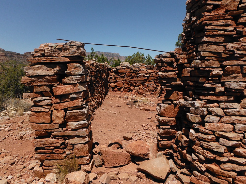
Grandview Point offers stunning views of the Grand Canyon from the southern rim. Grandview Trail also offers incredible views as it winds down the slope to Horseshoe Mesa, or the river if you have what it takes. The hike takes quite a long time and you can never bring too much water on this hike. Down on Horseshoe Mesa are the remnants of the Last Chance Mine which used to extract copper during the early 20th century. Most of the mine shafts have been blocked at the entrance (except for one filled with bats).
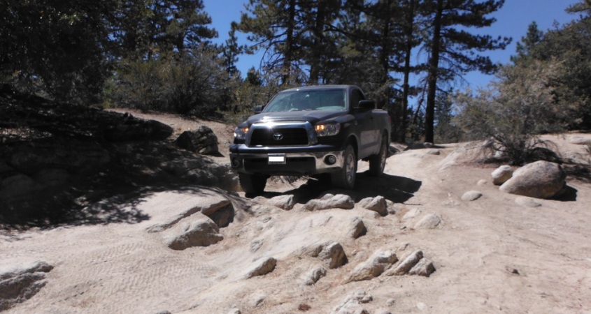
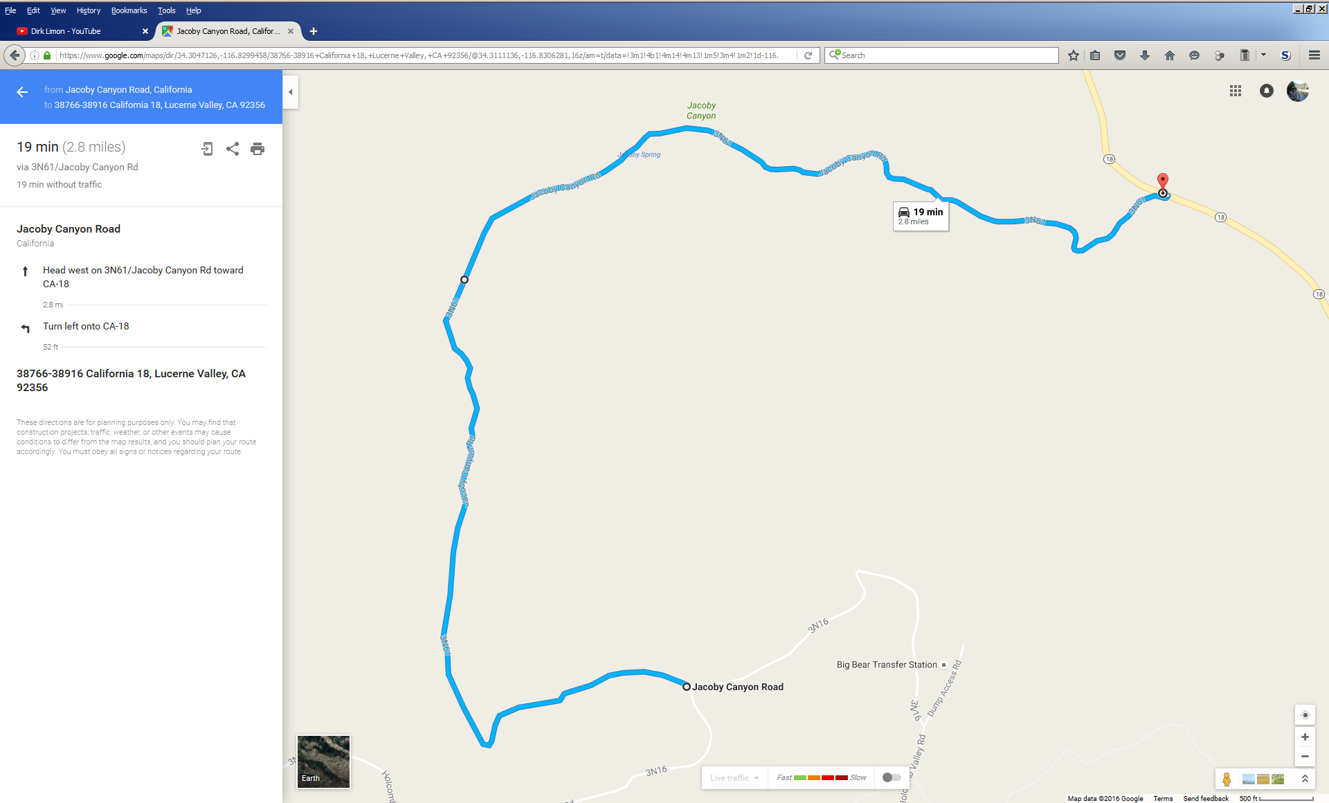
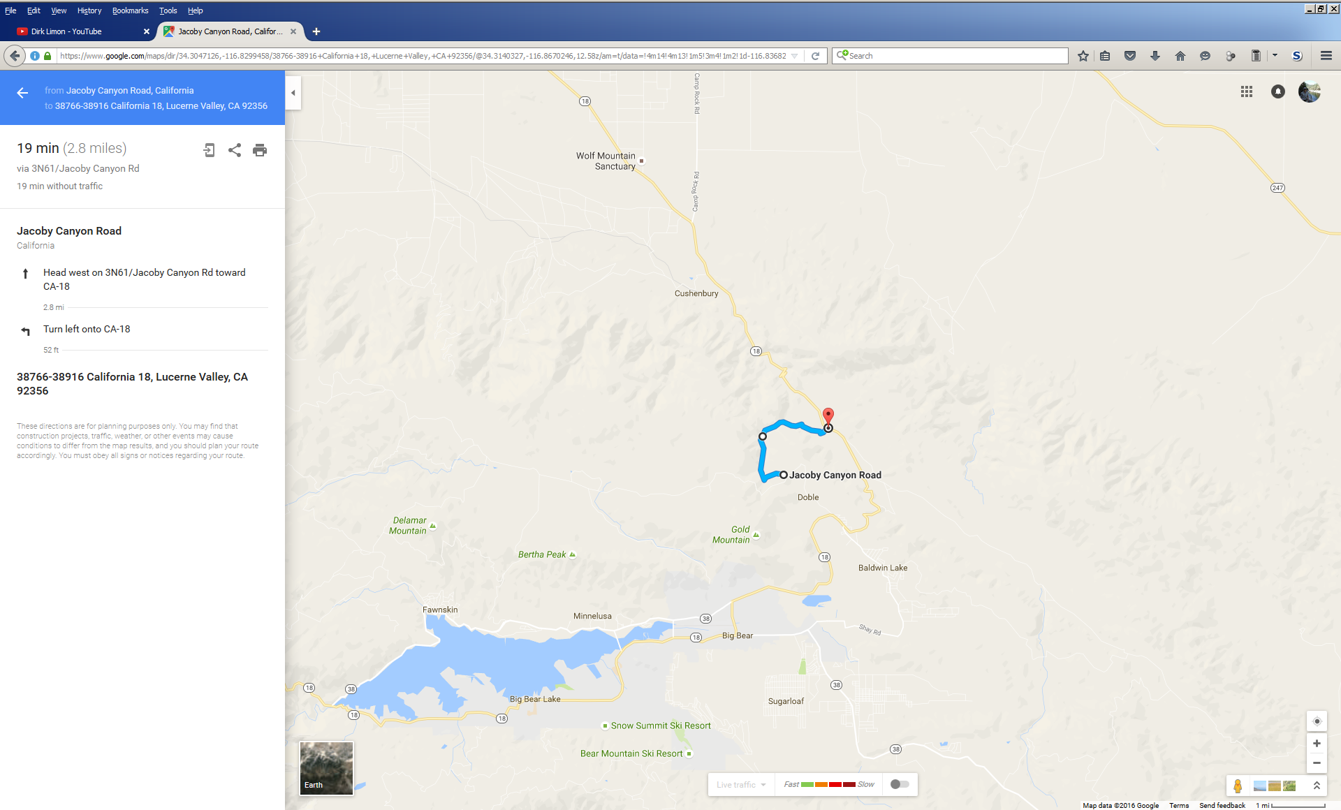
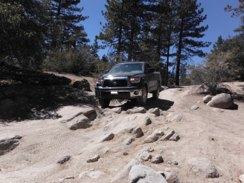
Jacoby Canyon is a moderate trail northeast of Big Bear Lake. The Forest Road designation is 2N61. It can be reached from CA-18 on the east side or from 3N16 on the western side. I hit the trail from the eastern end. My big Tundra with only 32″ tires was able to fit and get through relatively unscathed. I didn’t even need to use that awesome ARB locker I installed in the rear axle. Any truck or 4×4 with some ground clearance and a decent tire should make it through. Going slow also helps. Enjoy!
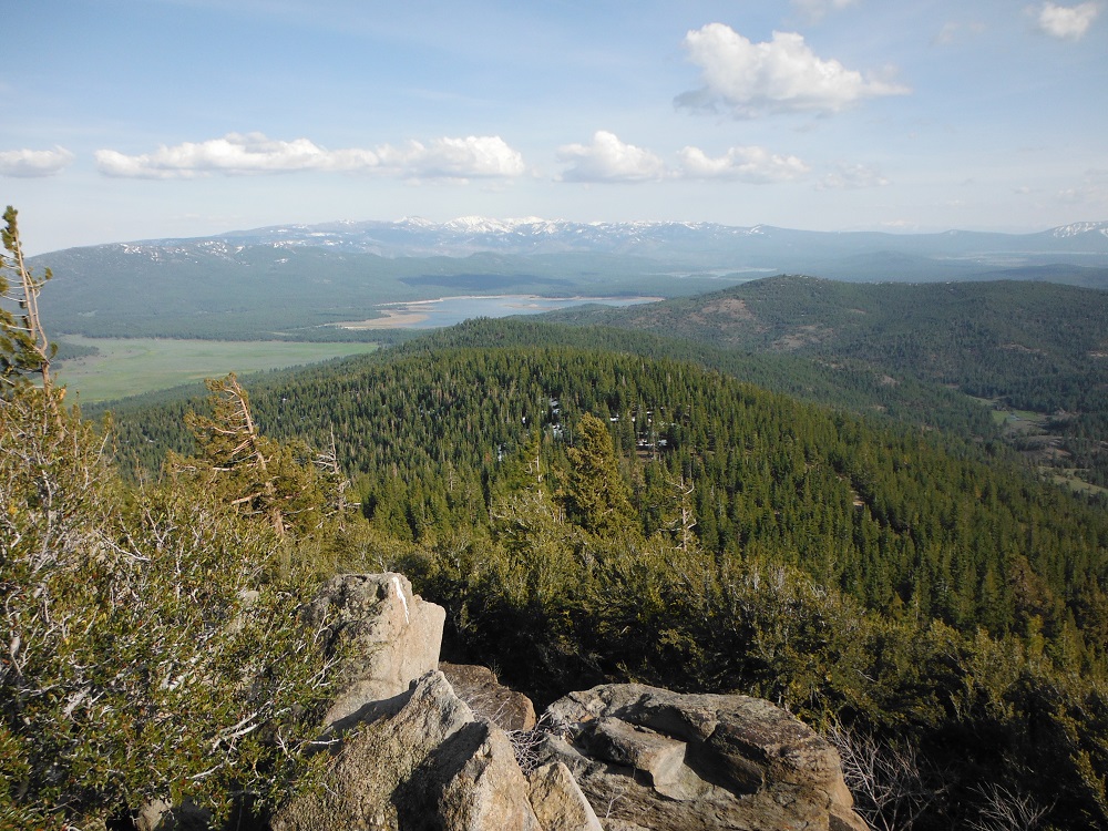
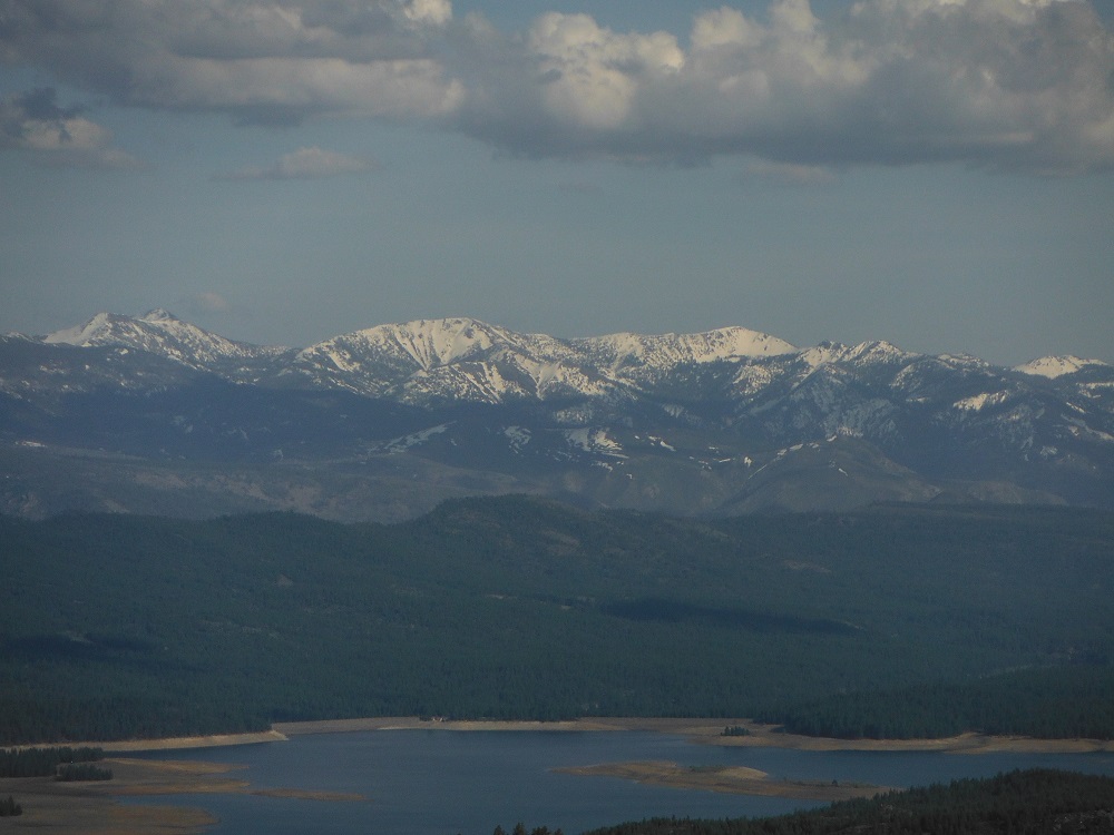
The Bear Valley OHV area has a mix of easy and moderate trails. One of the trails I traversed was extremely narrow, will mess up the paint of anything wider than a CJ, and I decided to take my truck through it. The actual OHV trails are not kind to full-size trucks and 4x4s. At least my paint job was already messed up. The staging area is reached by going approximately 15 miles north of the CA-89/I-80 junction, then head east, and then continue on Cottonwood Road (451) for about six miles. There are many more videos and photos for you to imbibe on the page dedicated to this area.